Vicksburg in Warren County, Mississippi — The American South (East South Central)
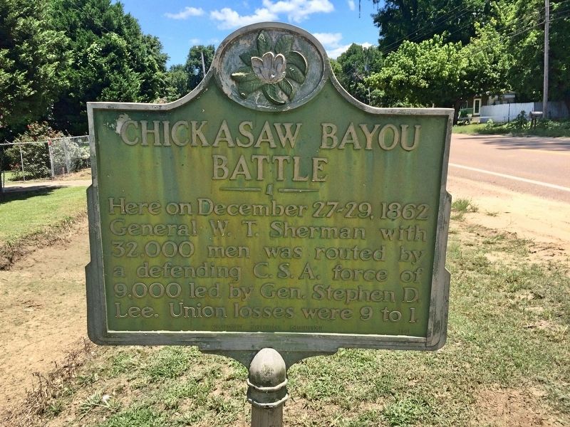
Chickasaw Bayou Battle
Erected 1961 by the Mississippi Historical Commission.
Topics and series. This historical marker is listed in this topic list: War, US Civil. In addition, it is included in the Mississippi State Historical Marker Program series list. A significant historical date for this entry is December 27, 1862.
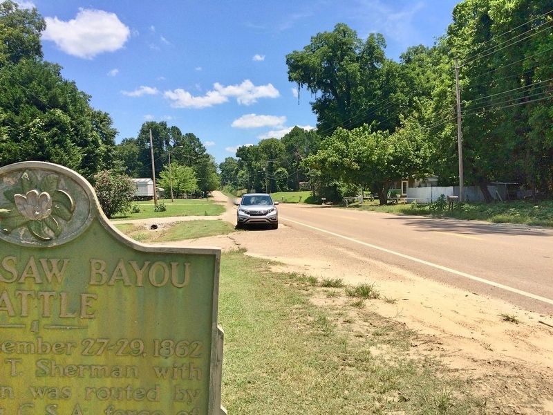
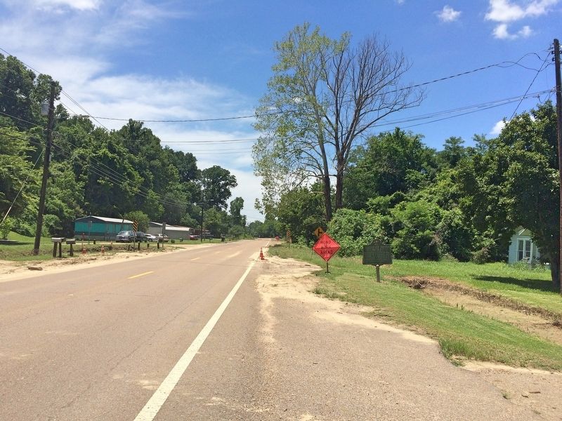
Location. 32° 24.326′ N, 90° 50.871′ W. Marker is in Vicksburg, Mississippi, in Warren County. Marker is on North Washington Street (Business U.S. 61) north of Kings Gin Road, on the left when traveling north. Touch for map. Marker is at or near this postal address: 4023 North Washington Street, Vicksburg MS 39180, United States of America. Touch for directions.
Other nearby markers. At least 8 other markers are within 2 miles of this marker, measured as the crow flies. Kings School (approx. 1.1 miles away); U.S. 4th Battery, Ohio Light Artillery; (approx. 1.7 miles away); Stephen G· Hicks (approx. 1.8 miles away); Illinois 40th Infantry. (approx. 1.8 miles away); U S Missouri 29th Infantry (approx. 2 miles away); U S Missouri 27th Infantry (approx. 2 miles away); U.S. Detached for Service on Gunboats; (approx. 2.1 miles away); U.S. Detached for Service on Gunboats (approx. 2.1 miles away). Touch for a list and map of all markers in Vicksburg.
Regarding Chickasaw Bayou Battle. The Chickasaw Bayou battlefield and associated points of interest are spread out over an area of about 25 square miles to the north and northwest of the Vicksburg National Military Park.
It is also called the Battle of Walnut Hills. Only this old marker provides any indication of the battle.
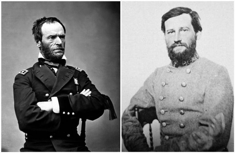
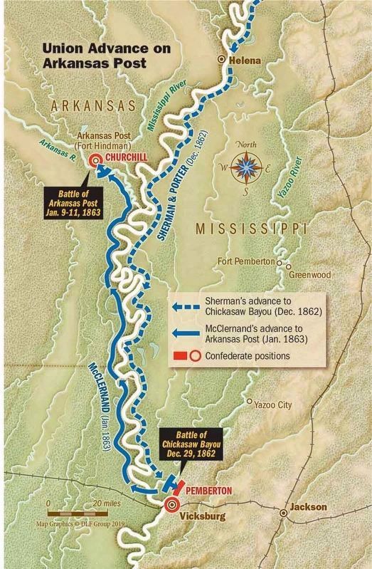
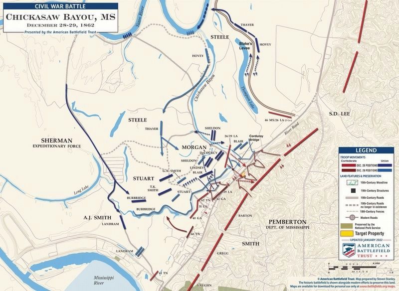
On December 26, 1862, three Union divisions, under Major General William T. Sherman, disembarked at Johnson's Plantation on the Yazoo River to approach the Vicksburg defenses from the northeast while a fourth landed farther upstream on the 27th. On the 27th, the Federals pushed their lines forward through the swamps toward Walnut Hills, which was strongly defended. On the 28th, several futile attempts were made to get around these defenses. On December 29, Sherman ordered a frontal assault which was repulsed with heavy casualties. Sherman then withdrew. This Confederate victory frustrated Grant's attempts to take Vicksburg by direct approach.
Also see . . . Wikipedia article on the Battle of Chickasaw Bayou. (Submitted on July 12, 2017, by Mark Hilton of Montgomery, Alabama.)
Credits. This page was last revised on April 23, 2022. It was originally submitted on July 12, 2017, by Mark Hilton of Montgomery, Alabama. This page has been viewed 1,129 times since then and 81 times this year. Photos: 1, 2, 3, 4. submitted on July 12, 2017, by Mark Hilton of Montgomery, Alabama. 5. submitted on April 10, 2019, by Mark Hilton of Montgomery, Alabama. 6. submitted on April 23, 2022.
