Norrmalm in Stockholm, Stockholm County, Sweden — Northern Europe (Scandinavia)
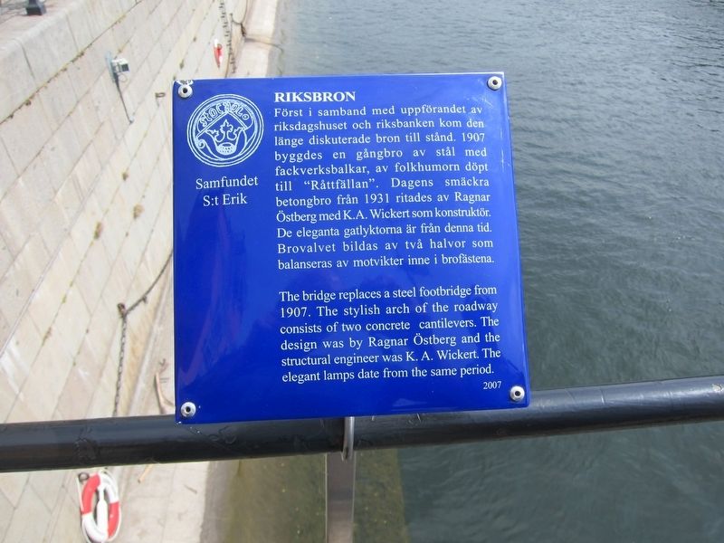
Riksbron
Erected 2007 by Samfundet S:t Erik.
Topics. This historical marker is listed in this topic list: Bridges & Viaducts.
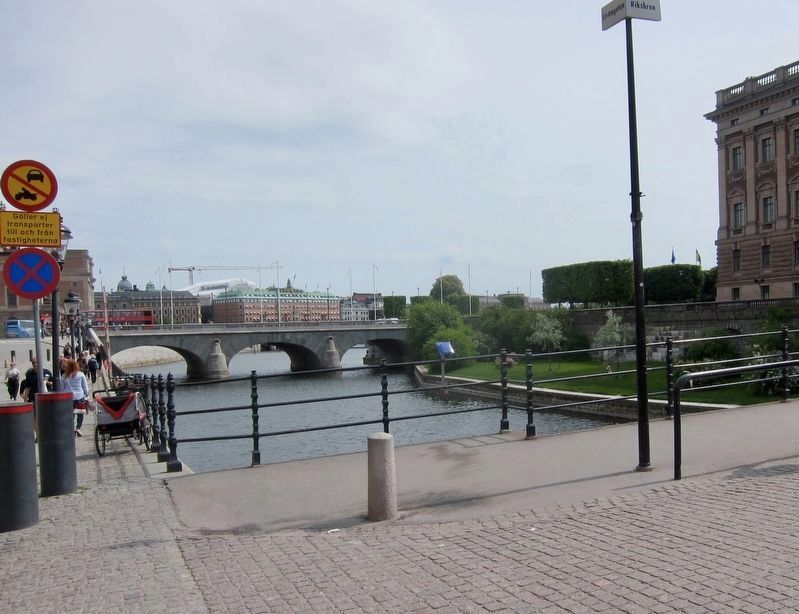
Location. 59° 19.704′ N, 18° 4.014′ E. Marker is in Stockholm, Stockholms län (Stockholm County). It is in Norrmalm. Marker is at the intersection of Riksbron and Strömgatan, on the left when traveling south on Riksbron. Touch for map. Touch for directions.
Other nearby markers. At least 8 other markers are within walking distance of this marker. Gustav II Adolf / King Gustaf II Adolf (about 150 meters away, measured in a direct line); Norrbro (about 150 meters away); Stallbron (about 180 meters away); Kvarteret Brunkhalsen (about 180 meters away); Kungliga Operan / Royal Opera House (about 210 meters away); Strömparterren (about 210 meters away); Riddarholmen (approx. 0.3 kilometers away); Oxenstiernska Palatset / Oxenstierna Palace (approx. 0.3 kilometers away). Touch for a list and map of all markers in Stockholm.
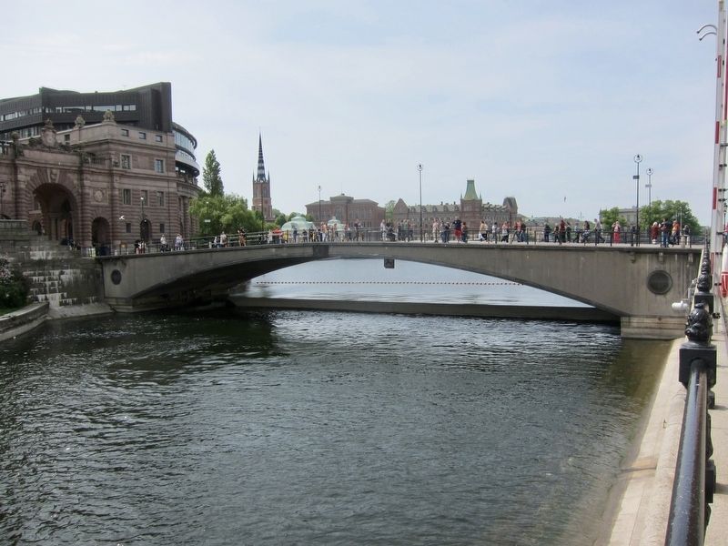
Also see . . . Riksbron (Wikipedia). Riksbron (Swedish: "The National Bridge" or "The State Bridge") is an arch bridge in central Stockholm, Sweden leading from Drottninggatan on Norrmalm 44 metres over to Riksgatan on Helgeandsholmen....The name is derived from the bridge's proximity to several buildings of national importance, including Riksdagen, the Parliament Building; Rosenbad, the Prime Minister's Office and the Government Chancellery; and the Sager House, official residence of the Prime Minister....Nearby bridges include Stallbron, Norrbro, and Vasabron. (Submitted on July 16, 2017.)
Credits. This page was last revised on February 19, 2022. It was originally submitted on July 16, 2017, by Andrew Ruppenstein of Lamorinda, California. This page has been viewed 171 times since then and 9 times this year. Photos: 1, 2, 3. submitted on July 16, 2017, by Andrew Ruppenstein of Lamorinda, California.


