Bar Harbor in Hancock County, Maine — The American Northeast (New England)
Ocean Highways
Acadia National Park
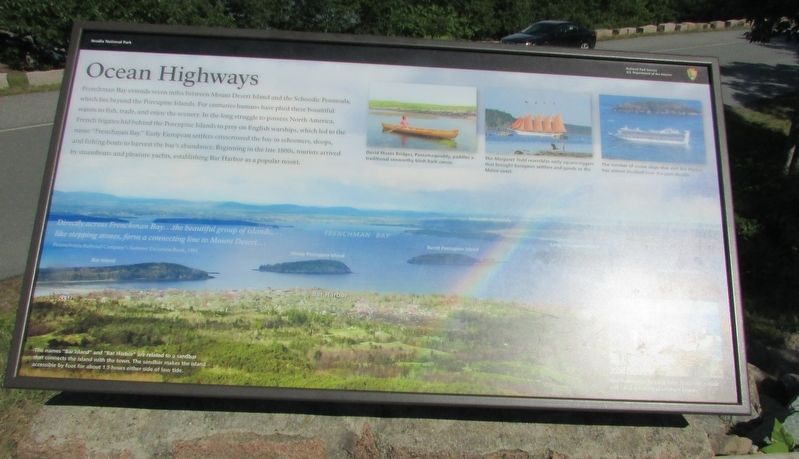
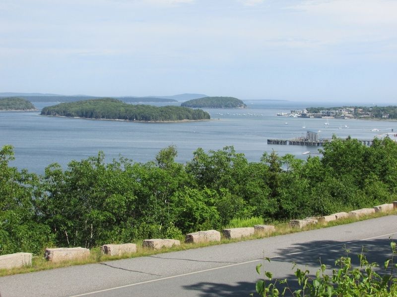
Frenchman Bay extends seven miles between Mount Desert Island and the Schoodic Peninsula, which lies beyond the Porcupine Islands. For centuries, humans have plied these bountiful waters to fish, trade, and enjoy the scenery. In the long struggle to possess North America, French frigates hid behind the Porcupine Islands to prey on English warships, which led to the name “Frenchman Bay.” Early European settlers crisscrossed the bay in schooners, sloops, and fishing boats to harvest the bay’s abundance. Beginning in the late 1800s, tourists arrived by steamboats and pleasure yachts, establishing Bar Harbor as a popular resort.
Directly across Frenchman Bay . . . the beautiful group of islands, . . . like stepping stones, form a connecting line to Mount Desert . . .
Pennsylvania Railroad Company’s Summer Excursion Book, 1891
Erected by National Park Service.
Topics. This historical marker is listed in these topic lists: Colonial Era • Waterways & Vessels.
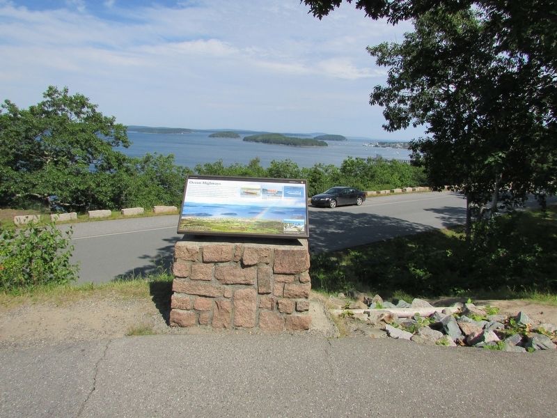
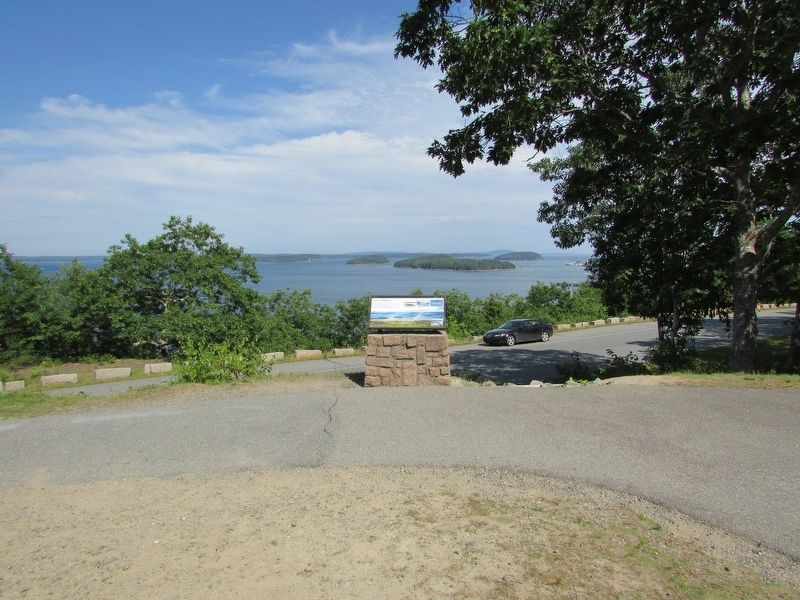
Location. 44° 24.318′ N, 68° 14.22′ W. Marker is in Bar Harbor, Maine, in Hancock County. Marker is on Paradise Hill Road, on the left when traveling south. Marker is located in Acadia National Park. Touch for map. Marker is in this post office area: Bar Harbor ME 04609, United States of America. Touch for directions.
Other nearby markers. At least 8 other markers are within 2 miles of this marker, measured as the crow flies. The French Connection (a few steps from this marker); Frenchman Bay (a few steps from this marker); Signs of the Seasons (approx. half a mile away); The 1947 Fire (approx. 1½ miles away); Bar Island (approx. 1.7 miles away); The Kedge (approx. 1.7 miles away); Cottage Street (approx. 1.8 miles away); Criterion Theatre / Le Théâtre Criterion (approx. 1.9 miles away). Touch for a list and map of all markers in Bar Harbor.
More about this marker. The background of the marker features a photo of Frenchman Bay with the landmarks identified. These include Bar Island, Sheep Porcupine Island, Burnt Porcupine Island, Long Porcupine Island and Bar Harbor. It includes the caption “The names ‘Bar Island’ and ‘Bar Harbor’ are related to a sandbar that connects the island with the town. The sandbar makes the island accessible by foot for about 1.5 hours either side of low tide.”
Three photos of boats in the water of Frenchman Bay appear at the top of the marker. They are “David Moses Bridges, Passamaquoddy, paddles a traditional seaworthy birch bark canoe.”; “The Margaret Todd resembles early square-riggers that brought European settlers and goods to the Maine coast.”; and “The number of cruise ships that visit Bar Harbor have almost doubled over the past decade.”
A photo the lower right of the marker contains the caption “Tour Frenchman Bay and learn about the natural and cultural history of offshore islands.”
Credits. This page was last revised on July 16, 2017. It was originally submitted on July 16, 2017, by Bill Coughlin of Woodland Park, New Jersey. This page has been viewed 231 times since then and 10 times this year. Photos: 1, 2, 3, 4. submitted on July 16, 2017, by Bill Coughlin of Woodland Park, New Jersey.


