Perth Amboy in Middlesex County, New Jersey — The American Northeast (Mid-Atlantic)
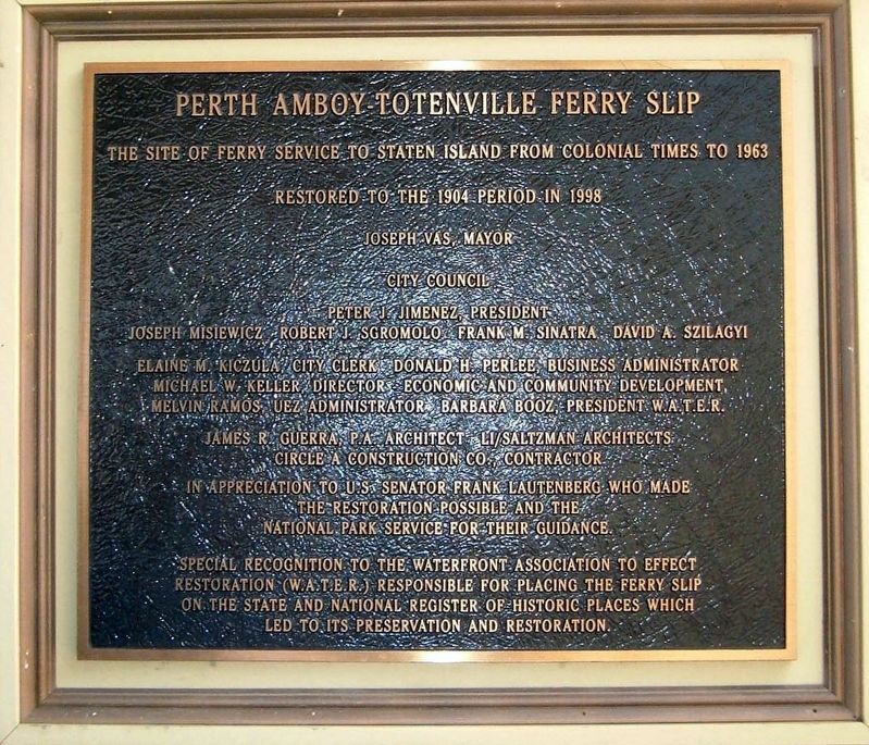
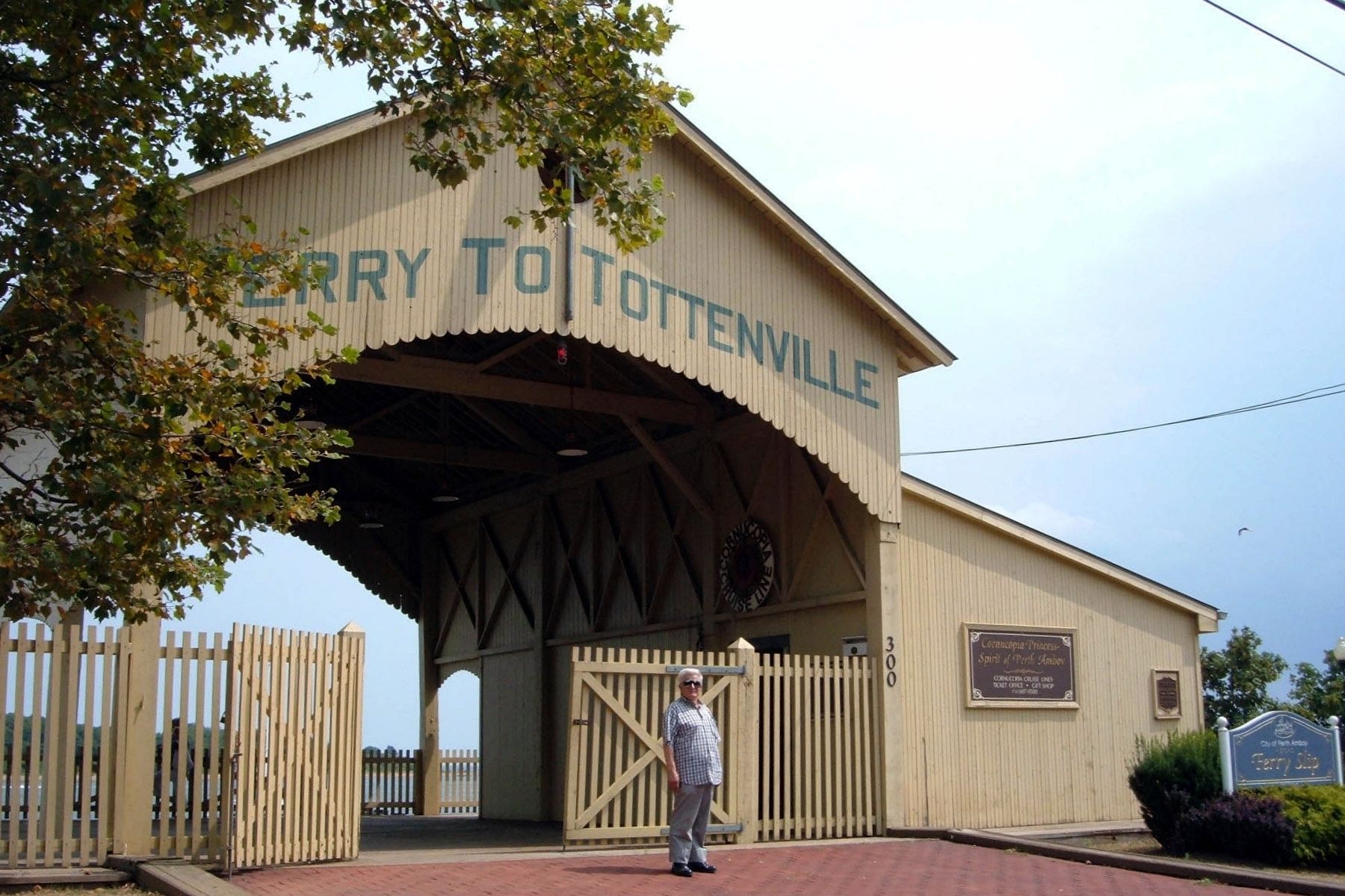
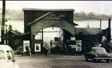
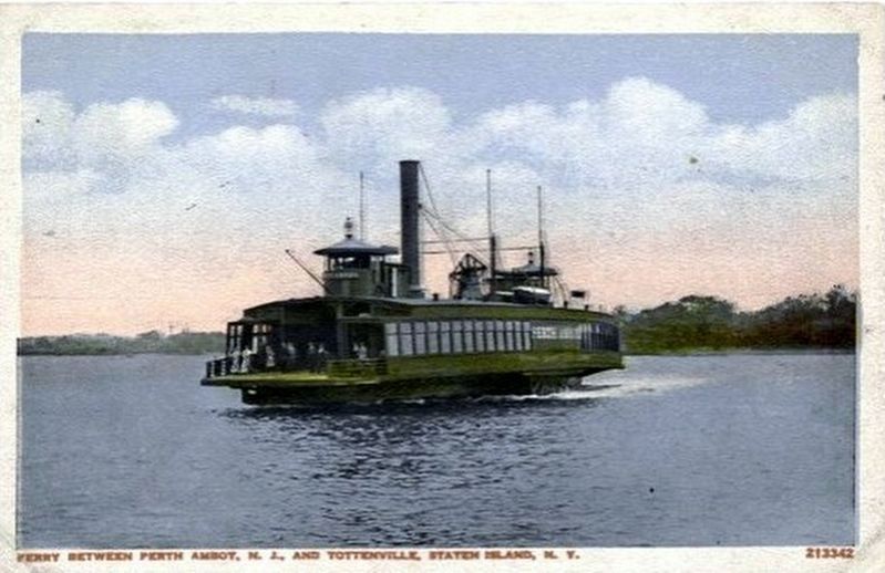
Perth Amboy Totenville Ferry Slip
Inscription.
Restored to the 1904 period in 1998
Joseph Vas, Mayor
City Council
Peter J. Jimenez, president
Joseph Misewicz Robert J. Sgromolo Frank M. Sinatra David A. Szalagyi Elaine M. Kisul, City Clerk Donald H. Perlee, Business Administrator Michael W. Keller, Director – Economic and Community Development Melvin Ramos, UEZ Administrator Barbara Booz, President W.A.T.E.R. Kames R. Guerra, P.A. Architect Li/Saltzman Architects Circle A Construction Co., Contractor
In appreciation to U.S. Senator Frank Lautenberg who made the restoration possible and the National Park Service for their guidance.
Special recognition to the Waterfront Association to Effect Restoration (W.A.T.E.R) responsible for placing the ferry slip on the State and National Register of Historic Places which led to its preservation and restoration
Topics. This historical marker is listed in these topic lists: Colonial Era • Waterways & Vessels.
Location. 40° 30.417′ N, 74° 15.717′ W. Marker is in Perth Amboy, New Jersey, in Middlesex County. Marker can be reached from the intersection of Front Street and Smith Street. Touch for map. Marker is at or near this postal address: 300 Front St, Perth Amboy NJ 08861, United States of America. Touch for directions.
Other nearby markers. At least 8 other markers are within walking distance of this marker. Enslavement and the Trans-Atlantic Human Trade (within shouting distance of this marker); City Hall (approx. 0.2 miles away); Surveyor General's Office (approx. 0.2 miles away); Board of Proprietors of the Eastern Division of New Jersey (approx. 0.2 miles away); Record Office (approx. 0.2 miles away); a different marker also named Surveyor General's Office (approx. 0.2 miles away); The Earl of Perth (approx. 0.2 miles away); Perth Amboy City Hall (approx. 0.2 miles away). Touch for a list and map of all markers in Perth Amboy.
Regarding Perth Amboy Totenville Ferry Slip. Somehow, they misspelled "Tottenville" on the plaque.
Also see . . . Perth Amboy Ferry Slip. Wikipedia entry. (Submitted on April 14, 2020, by Larry Gertner of New York, New York.)
Credits. This page was last revised on April 14, 2020. It was originally submitted on July 18, 2017, by Larry Gertner of New York, New York. This page has been viewed 438 times since then and 30 times this year. Photos: 1, 2. submitted on July 18, 2017, by Larry Gertner of New York, New York. 3, 4. submitted on April 14, 2020, by Larry Gertner of New York, New York. • Bill Pfingsten was the editor who published this page.


