Natural Bridge in Rockbridge County, Virginia — The American South (Mid-Atlantic)
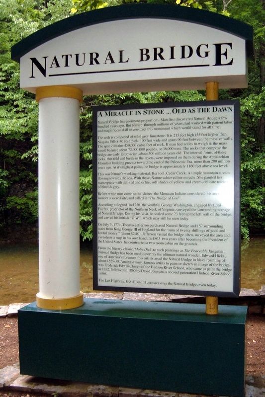
A Miracle in Stone ... Old as the Dawn
Natural Bridge
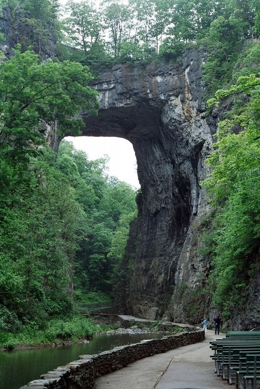
The arch is composed of solid grey limestone. It is 215 feet high (55 feet higher than Niagara Falls) 40 feet thick, 100 feet wide and spans 90 feet between massive walls. The span contains 450,000 cubic feet of rock. If man had scales to weigh it the mass would balance about 72,000,000 pounds, or 36,000 tons. The rocks that compose the bridge are early Ordovician, about 500 million years old. The internal forms of these rocks, that fold and break in layers, were imposed on them during the Appalachian Mountain building process toward the end of the Paleozoic Era, more than 200 million years ago. At it's (sic) highest point, the bridge is approximately 1160 feet above sea level.
This was Nature's working material. Her tool, Cedar Creek. A simple mountain stream flowing towards the sea. With these, Nature achieves her miracle. She painted her masterpiece with dull red and ochre, soft shades of yellow and cream, delicate tracings of blueish-grey.
Before white men came to our shores, the Monacan Indians considered this ancient wonder a sacred site, and called it “The Bridge of God”.
According to legend, in 1750, the youthful George Washington, engaged by Lord Fairfax, proprietor of the Northern Neck of Virginia, surveyed the surrounding acreage of Natural Bridge. During his visit, he scaled some 23 feet up the left wall of the bridge, and carved his initials ‘G.W.’, which may still be seen today.
On July 5, 1774, Thomas Jefferson purchased Natural Bridge and 157 surrounding acres from King George III of England for the ‘sum’ of twenty shillings of good and lawful money (about $2.40). Jefferson visited the bridge often, surveyed the area and even drew a map in his own hand. In 1803 two years after becoming President of the United States, he constructed a two room cabin on the grounds.
From the literary classic, Moby Dick, to such paintings as The Peaceable Kingdom, Natural Bridge has been used to portray the ultimate natural wonder. Edward Hicks, one of America's foremost folk artists, used the Natural Bridge on his oil painting of about 1825-30. Amongst many famous artists to paint or sketch an image of the bridge was Frederick Edwin Church of the Hudson River School, who came to paint the bridge in 1852, followed in 1860 by David Johnson, a second generation Hudson River School artist.
The Lee Highway, U.S. Route 11, crosses over the Natural Bridge, even today.
Topics. This historical marker is listed in this topic list: Landmarks.
Location. 37° 37.65′ N, 79° 32.583′ W. Marker is in Natural Bridge, Virginia, in Rockbridge County. Marker can be reached from the intersection of South Lee Highway (U.S. 11) and Wert Faulkner Highway (Virginia Route 130), on the left when traveling south. The marker is on the Cedar Creek Trail. Touch for map. Marker is at or near this postal address: 6477 S Lee Hwy, Natural Bridge VA 24578, United States of America. Touch for directions.
Other nearby markers. At least 8 other markers are within walking distance of this marker. Natural Bridge Patent (within shouting distance of this marker); “Vires-Acquirit-Eundo” Ancient Arbor Vitae (within shouting distance of this marker); Natural Bridge (about 400 feet away, measured in a direct line); a different marker also named Natural Bridge (about 700 feet away); George Washington (approx. 0.3 miles away); Monacan Village (approx. 0.3 miles away); Saltpetre Cave (approx. 0.3 miles away); “The Most Sublime of Nature’s Works” (approx. 0.3 miles away). Touch for a list and map of all markers in Natural Bridge.
Also see . . . Natural Bridge (Virginia). Wikipedia entry. (Submitted on April 15, 2020, by Larry Gertner of New York, New York.)
Credits. This page was last revised on April 15, 2020. It was originally submitted on July 19, 2017, by Larry Gertner of New York, New York. This page has been viewed 817 times since then and 45 times this year. Photos: 1, 2. submitted on July 19, 2017, by Larry Gertner of New York, New York. • Bernard Fisher was the editor who published this page.

