Near Haymarket in Prince William County, Virginia — The American South (Mid-Atlantic)
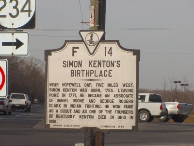
Simon Kentonís Birthplace
Erected 1942 by Virginia Conservation Commission. (Marker Number F-14.)
Topics and series. This historical marker is listed in these topic lists: Colonial Era • Native Americans • Settlements & Settlers. In addition, it is included in the Virginia Department of Historic Resources (DHR) series list. A significant historical year for this entry is 1755.
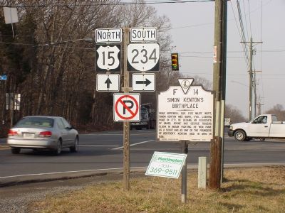
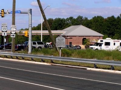
Location. 38° 52.23′ N, 77° 38.112′ W. Marker is near Haymarket, Virginia, in Prince William County. Marker is at the intersection of James Madison Highway (U.S. 15) and Sudley Road (Virginia Route 234), on the right when traveling north on James Madison Highway. Touch for map. Marker is in this post office area: Haymarket VA 20169, United States of America. Touch for directions.
Other nearby markers. At least 5 other markers are within 4 miles of this marker, measured as the crow flies. The Carolina Road (approx. 0.6 miles away); Hopewell Gap (approx. 2.8 miles away); Antioch Church (approx. 2.8 miles away); Ambush at Ewellís Chapel (approx. 2.9 miles away); Haymarket Post Office (approx. 4 miles away). Touch for a list and map of all markers in Haymarket.
Regarding Simon Kentonís Birthplace. The road to Hopewell Gap is at the intersection north of this marker on U.S. 15. It is called Waterfall Road until it crosses the Fauquier/Prince William County line and then in becomes Hopewell Road, County Route 601. It continues on to The Plains.
Also see . . .
1. Simon Kenton, Frontiersman. (Submitted on February 16, 2006.)
2. Bull Run Mountain. (Submitted on February 16, 2006.)
Credits. This page was last revised on June 16, 2016. It was originally submitted on February 16, 2006, by J. J. Prats of Powell, Ohio. This page has been viewed 4,269 times since then and 66 times this year. Photos: 1, 2. submitted on February 16, 2006, by J. J. Prats of Powell, Ohio. 3. submitted on September 17, 2010, by PaulwC3 of Northern, Virginia.


