Warren in Macomb County, Michigan — The American Midwest (Great Lakes)
Red Run Creek
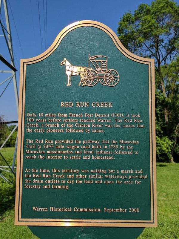
Only 10 miles from French Fort Detroit (1701), it took 100 years before settlers reached Warren. The Red Run Creek, a branch of the Clinton River was the means that the early pioneers followed by canoe.
The Red Run provided the pathway that the Moravian Trail (a 231/2 mile wagon road built in 1785 by the Moravian missionaries and local indians) followed to reach the interior to settle and homestead.
At the time, this territory was nothing but a marsh and the Red Run Creek and other similar waterways provided the drain outlets to dry the land and open the area for forestry and farming.
Erected 2000 by Warren Historical Commission.
Topics. This historical marker is listed in these topic lists: Settlements & Settlers • Waterways & Vessels. A significant historical year for this entry is 1785.
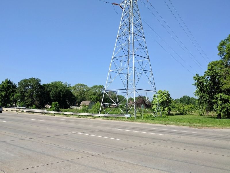
Location. 42° 31.76′ N, 83° 2.885′ W. Marker is in Warren, Michigan, in Macomb County. Marker is on Mound Road, on the right when traveling south. Marker is about 280 feet south of Murhum Avenue. Touch for map. Marker is in this post office area: Warren MI 48092, United States of America. Touch for directions.
Other nearby markers. At least 8 other markers are within walking distance of this marker. Murthum-Vander Vlucht House (about 300 feet away, measured in a direct line); a different marker also named Red Run Creek (about 300 feet away); Village of Warren (about 300 feet away); The Hoard House (approx. 0.2 miles away); The Reddick House (approx. 0.2 miles away); The Joiner House 1895 (approx. 0.2 miles away); The Wilson-Bosh Home (approx. 0.2 miles away); 5520 Chicago Road (approx. ¼ mile away). Touch for a list and map of all markers in Warren.
Additional commentary.
1. An identical marker
can be seen on the east side of Mound Road. Nearly identical markers are on both the west and east sides of Van Dyke.
— Submitted July 25, 2017, by Joel Seewald of Madison Heights, Michigan.
Credits. This page was last revised on March 17, 2020. It was originally submitted on July 25, 2017, by Joel Seewald of Madison Heights, Michigan. This page has been viewed 357 times since then and 27 times this year. Photos: 1, 2. submitted on July 25, 2017, by Joel Seewald of Madison Heights, Michigan.

