Sault Ste. Marie in Algoma District, Ontario — Central Canada (North America)
Sault Ste. Marie Ship Canal
Canal de Sault Ste. Marie
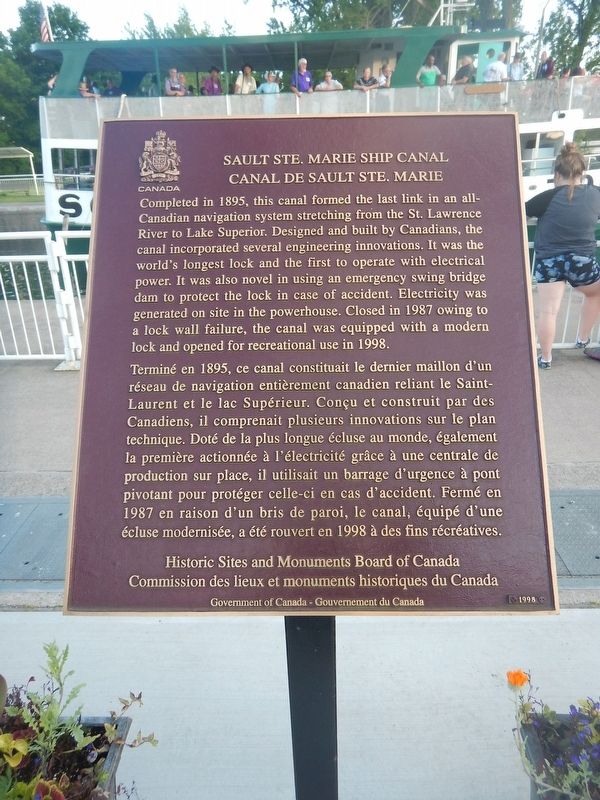
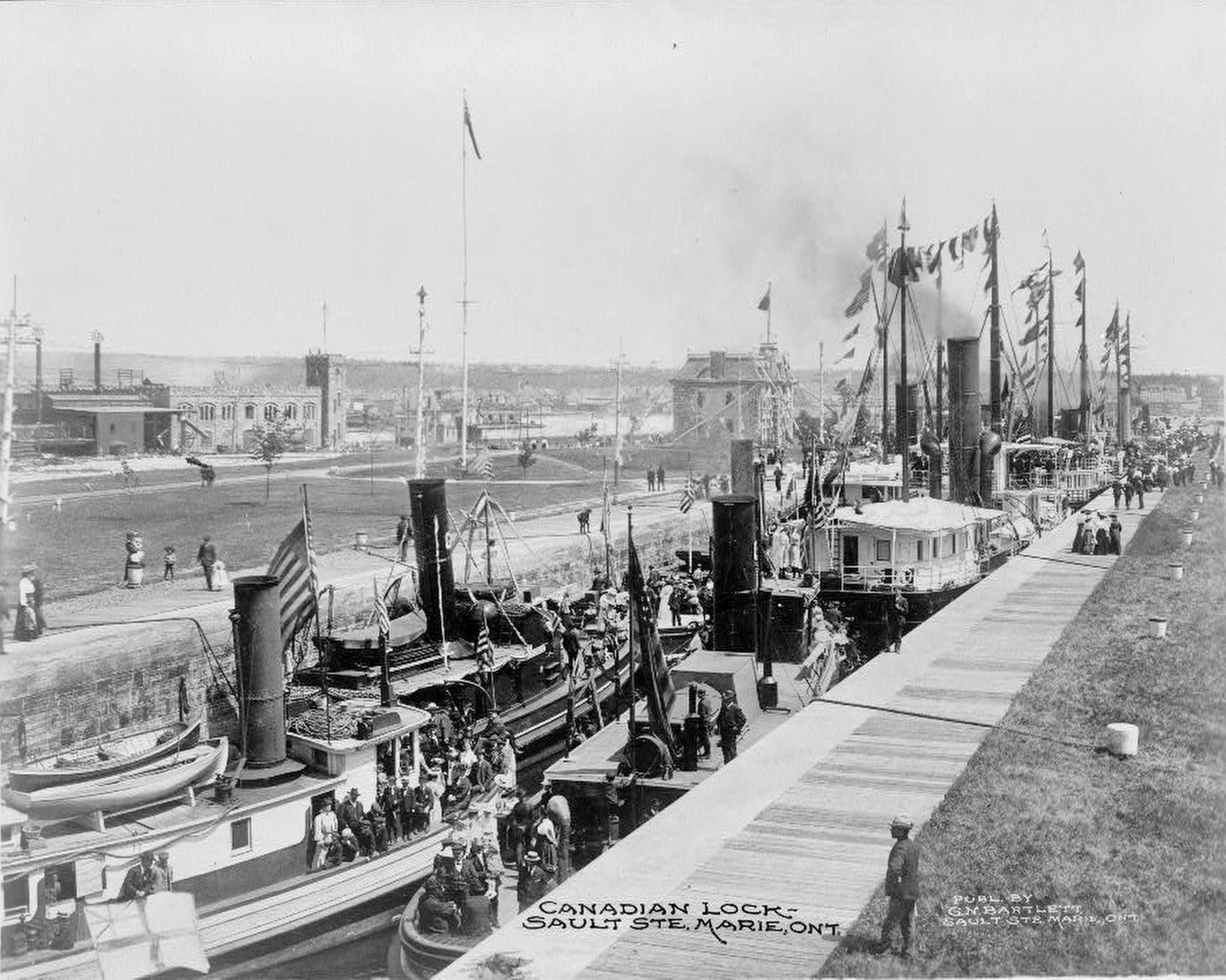
Completed in 1895, this canal formed the last link in an all-Canadian navigation system stretching from the St. Lawrence River to Lake Superior. Designed and built by Canadians, the canal incorporated several engineering innovations. It was the world's longest lock and the first to operate with electrical power. It was also novel in using an emergency swing bridge dam to protect the lock in case of accident. Electricity was generated on site in the powerhouse. Closed in 1987 owing to a lock wall failure, the canal was equipped with a modern lock and opened for recreational use in 1998.
Erected 1998 by Historic Sites and Monuments Board of Canada.
Topics and series. This historical marker is listed in this topic list: Waterways & Vessels. In addition, it is included in the Canada, Historic Sites and Monuments Board series list. A significant historical year for this entry is 1895.
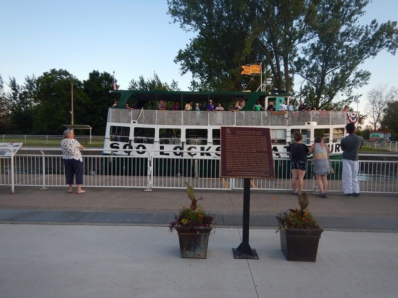
Location. 46° 30.782′ N, 84° 21.038′ W. Marker is in Sault Ste. Marie, Ontario, in Algoma District. Marker can be reached from Canal Drive, 0.7 kilometers south of Huron Street, on the right when traveling east. Marker is located on the walkway next to the canal, near the Administration Building. Touch for map. Marker is at or near this postal address: 1 Canal Drive, Sault Ste Marie ON P6A 6W4, Canada. Touch for directions.
Other nearby markers. At least 8 other markers are within walking distance of this marker. The "Chicora" Incident (approx. 0.3 kilometers away); The First Sault Ste. Marie Canal (approx. 0.3 kilometers away); Francis Hector Clergue (approx. 0.4 kilometers away); The North West Company Post (approx. 0.4 kilometers away); Why Preserve This Big Hunk of Steel? / Pourquoi préserver cette énorme structure d'acier? (approx. half a kilometer away); What a Rush! / Urgence! (approx. half a kilometer away); The Last Emergency Swing Dam in the World! / Le dernier barrage tournant de secours au monde! (approx. half a kilometer away); Emergency Swing Bridge Dam / Barrage tournant de secours (approx. 0.6 kilometers away). Touch for a list and map of all markers in Sault Ste. Marie.
Also see . . . Wikipedia - Sault Ste. Marie Canal. (Submitted on July 27, 2017, by Kevin Craft of Bedford, Quebec.)
Credits. This page was last revised on August 9, 2017. It was originally submitted on July 27, 2017, by Kevin Craft of Bedford, Quebec. This page has been viewed 257 times since then and 19 times this year. Photos: 1, 2. submitted on July 27, 2017, by Kevin Craft of Bedford, Quebec. 3. submitted on August 9, 2017.


