Santa Barbara in Santa Barbara County, California — The American West (Pacific Coastal)
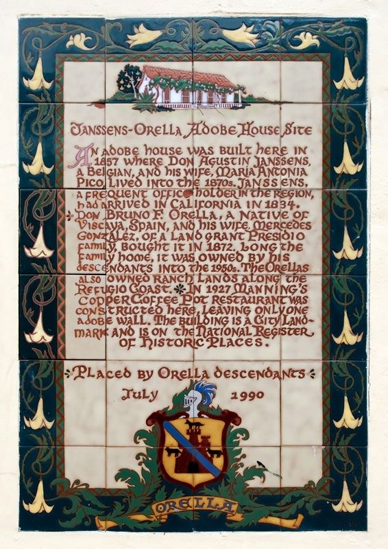
Janssens-Orella Adobe House Site
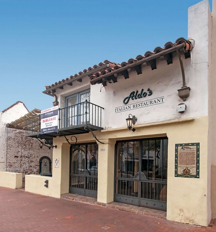
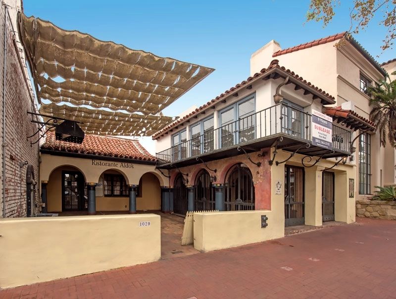
In 1927 Manning's Copper Coffee Pot restaurant was constructed here, leaving only one adobe wall. The building is a city landmark and is on the National Register of Historic Places.
Erected 1990 by Orella Descendants.
Topics. This historical marker is listed in these topic lists: Hispanic Americans • Settlements & Settlers. A significant historical year for this entry is 1857.
Location. 34° 25.33′ N, 119° 42.194′ W. Marker is in Santa Barbara, California, in Santa Barbara County. Marker is on State Street east of East Figueroa Street, on the right when traveling east. Touch for map. Marker is at or near this postal address: 1031 State Street, Santa Barbara CA 93101, United States of America. Touch for directions.
Other nearby markers. At least 8 other markers are within walking distance of this marker. Myron Hunt (within shouting distance of this marker); Hill-Carrillo Adobe (about 600 feet away, measured in a direct line); This Street Name Anapamu (about 600 feet away); Tympanum (about 700 feet away); Santa Barbara County Courthouse (about 700 feet away); a different marker also named Santa Barbara County Courthouse (about 800 feet away); Jose Francisco De Ortega (about 800 feet away); First Ruling Sovereign of Europe to Visit America (approx. 0.2 miles away). Touch for a list and map of all markers in Santa Barbara.
Credits. This page was last revised on August 2, 2017. It was originally submitted on August 1, 2017, by Alvis Hendley of San Francisco, California. This page has been viewed 410 times since then and 30 times this year. Photos: 1, 2, 3. submitted on August 1, 2017, by Alvis Hendley of San Francisco, California. • Syd Whittle was the editor who published this page.


