Near Doswell in Caroline County, Virginia — The American South (Mid-Atlantic)
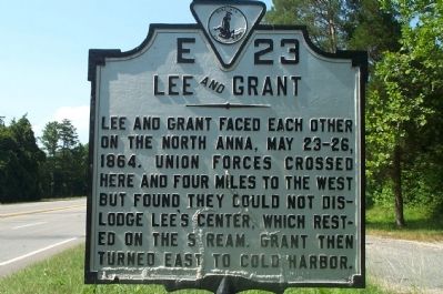
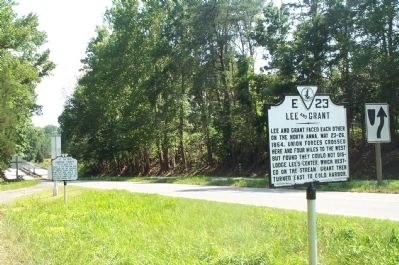
Lee and Grant
Erected 1929 by Conservation and Development Commission. (Marker Number E-23.)
Topics and series. This historical marker is listed in this topic list: War, US Civil. In addition, it is included in the Virginia Department of Historic Resources (DHR) series list. A significant historical month for this entry is May 1727.
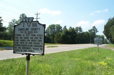
Location. 37° 53.489′ N, 77° 27.991′ W. Marker is near Doswell, Virginia, in Caroline County. Marker is on Washington Highway (U.S. 1), on the right when traveling north. Marker is at the Caroline/Hanover County line. Appears with marker Caroline/Hanover County (Z 155). Touch for map. Marker is in this post office area: Ruther Glen VA 22546, United States of America. Touch for directions.
Other nearby markers. At least 8 other markers are within 2 miles of this marker, measured as the crow flies. Caroline County / Hanover County (a few steps from this marker); Long Creek Action (about 800 feet away, measured in a direct line); North Anna River (approx. 0.2 miles away); Lafayette and Cornwallis (approx. ¼ mile away); North Anna River Campaign (approx. 0.8 miles away); One More River to Cross (approx. 1.4 miles away); Artillery Duel (approx. 1½ miles away); River War (approx. 1½ miles away). Touch for a list and map of all markers in Doswell.
More about this marker. Marker is located on an easy pull off area from the main road.
Credits. This page was last revised on June 16, 2016. It was originally submitted on August 23, 2008, by Kathy Walker of Stafford, Virginia. This page has been viewed 1,325 times since then and 23 times this year. Photos: 1, 2, 3. submitted on August 23, 2008, by Kathy Walker of Stafford, Virginia. • Craig Swain was the editor who published this page.


