Near Bar Harbor in Hancock County, Maine — The American Northeast (New England)
Once a Busy Waterfront
Acadia National Park
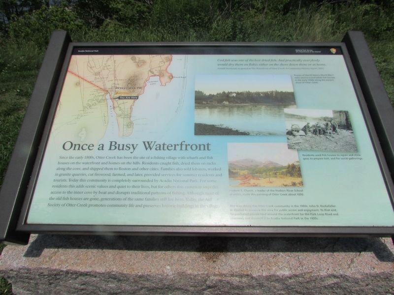
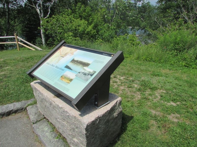
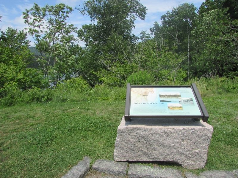
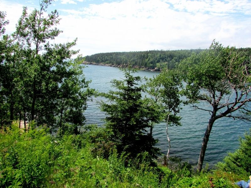
Since the early 1800s, Otter Creek has been the site of a fishing village with wharfs and fish houses on the waterfront and homes on the hills. Residents caught fish, dried them on racks along the cove, and shipped them to Boston and other cities. Families also sold lobsters, worked in granite quarries, cut firewood, farmed, and later, provided services for summer residents and tourists. Today this community is completely surrounded by Acadia National Park. For some residents this adds scenic values and quiet to their lives, but for others this causeway impedes access to the inner cove by boat and disrupts traditional patterns of fishing. Although most of the old fish houses are gone, generations of the same families still live here. Today, the Aid Society of Otter Creek promotes community life and preserves historic buildings in the village.
“Cod fish was one of the best dried fish. And practically everybody would dry the on flakes either on the shore down there or at home.
Gerald Norwood, as quoted in The Waterfront of Otter Creek: A Community History report, 2012
Erected by National Park Service.
Topics. This historical marker is listed in this topic list: Settlements & Settlers.
Location. 44° 18.861′ N, 68° 11.78′ W. Marker is near Bar Harbor, Maine, in Hancock County. Marker is on Park Loop Road, on the left when traveling north. Marker is in Acadia National Park, near the Fabbri picnic ground. Touch for map. Marker is in this post office area: Bar Harbor ME 04609, United States of America. Touch for directions.
Other nearby markers. At least 8 other markers are within 2 miles of this marker, measured as the crow flies. Alessandro Fabbri, Lieutenant, U.S.N.R.F. (within shouting distance of this marker); “Hot Line” to Europe (about 300 feet away, measured in a direct line); Thunder Hole (approx. half a mile away); Thunder Hole Ranger Station (approx. 0.6 miles away); Sounds of the Sea (approx. 0.6 miles away); Icy Depths (approx. 0.6 miles away); What Do Park Rangers Do? (approx. 0.6 miles away); Satterlee Field (approx. 1.2 miles away). Touch for a list and map of all markers in Bar Harbor.
More about this marker. A map of the Otter Creek area appears at the upper left of the marker. It has a caption of “The map shows the Otter Creek community in the 1880s. John D. Rockefeller Jr. desired to preserve this area for public access and enjoyment. To that end, he purchased private land around the waterfront for the Park Loop Road and causeway and donated it to Acadia National Park in the 1930s.”
Three pictures are on the right side of the marker. These have captions of “Towers of the US Navy’s World War I radio station overshadow fish houses in the early 1900s along the eastern shore of Otter Creek.”; “Residents used fish houses to repair and store gear, to prepare bait, and for social gathering.”; and “Frederic E. Church, a leader of the Hudson River School of artists, made this painting of Otter Creek about 1850.”
Credits. This page was last revised on August 4, 2017. It was originally submitted on August 4, 2017, by Bill Coughlin of Woodland Park, New Jersey. This page has been viewed 228 times since then and 11 times this year. Photos: 1, 2, 3, 4, 5. submitted on August 4, 2017, by Bill Coughlin of Woodland Park, New Jersey.


