Fernandina Beach in Nassau County, Florida — The American South (South Atlantic)
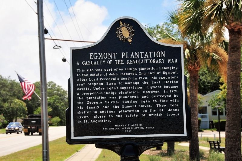
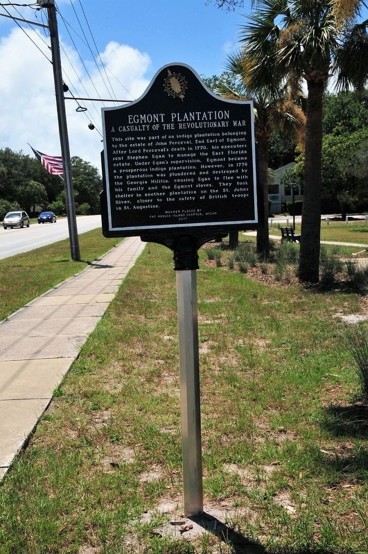
Egmont Plantation
A Casualty of the Revolutionary War
Erected 2017 by Amelia Island Chapter, National Society Daughters of the American Revolution.
Topics and series. This historical marker is listed in these topic lists: Colonial Era • Settlements & Settlers • War, US Revolutionary. In addition, it is included in the Daughters of the American Revolution series list.
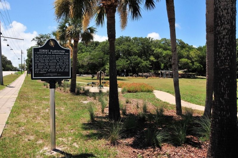
Location. 30° 40.128′ N, 81° 26.431′ W. Marker is in Fernandina Beach, Florida, in Nassau County. Marker is at the intersection of Atlantic Avenue (State Road A1A) and North Wolff Street, on the right when traveling west on Atlantic Avenue. The marker is in Egans Creek Park. Touch for map. Marker is at or near this postal address: 2201 Atlantic Avenue, Fernandina Beach FL 32034, United States of America. Touch for directions.
Other nearby markers. At least 8 other markers are within 2 miles of this marker, measured as the crow flies. Amelia Island Lighthouse (approx. 0.3 miles away); Nassau County American Revolutionary War Memorial (approx. 0.9 miles away); New Zion Baptist Church (approx. one mile away); First Missionary Baptist Church of Fernandina (approx. one mile away); The Good Shepherd Church 1887-1966 (approx. 1.1 miles away); McClure's Hill (approx. 1.1 miles away); St. Peter's Church (approx. 1.1 miles away); Peck High School (approx. 1.1 miles away). Touch for a list and map of all markers in Fernandina Beach.
Regarding Egmont Plantation. The 18th century Egmont Plantation covered the northern portion of Amelia Island. Its principal crop was indigo, grown to produce a signature shade of blue dye for the textile industry.
Credits. This page was last revised on February 23, 2018. It was originally submitted on August 7, 2017, by Jay Kravetz of West Palm Beach, Florida. This page has been viewed 1,039 times since then and 98 times this year. Photos: 1, 2, 3. submitted on August 7, 2017, by Jay Kravetz of West Palm Beach, Florida. • Bernard Fisher was the editor who published this page.


