Washington in Rappahannock County, Virginia — The American South (Mid-Atlantic)
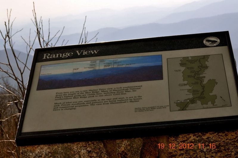
Range View
Much of what you see, especially to the east and west, is not in the park. Private woodland and pastures are being replaced by homes and commercial properties. The view from Shenandoah's Skyline Drive is changing.
(caption)
Skyline Drive meanders its way south through the Blue ridge peaks that are visible from here.
Erected by Shenandoah National Park.
Topics. This historical marker is listed in this topic list: Natural Features.
Location. Marker has been reported missing. It was located near 38° 45.855′ N, 78° 13.645′ W. Marker was in Washington, Virginia, in Rappahannock County. Marker was on Skyline Drive, on the left when traveling south. Touch for map. Marker was in this post office area: Washington VA 22747, United States of America. Touch for directions.
Other nearby markers. At least 8 other markers are within 6 miles of this location, measured as the crow flies. A Skyline Drive for a Bird's-Eye View (a few steps from this marker); Come Back When You Have More Time (within shouting distance of this marker); Piedmont (approx. 3.2 miles away); Civilian Conservation Corps (approx. 3.7 miles away); Help Wanted! (approx. 3.7 miles away); Washington Graded School (approx. 4.9 miles away); The Town of Washington, Virginia (approx. 5.1 miles away); Confederate Monument (approx. 5.2 miles away). Touch for a list and map of all markers in Washington.
Also see . . . Shenandoah National Park. National Park Service (Submitted on August 8, 2017.)
Credits. This page was last revised on May 26, 2019. It was originally submitted on August 7, 2017, by Sandra Hughes Tidwell of Killen, Alabama, USA. This page has been viewed 216 times since then and 5 times this year. Photos: 1, 2. submitted on August 7, 2017, by Sandra Hughes Tidwell of Killen, Alabama, USA. • Bernard Fisher was the editor who published this page.

