Soda Springs in Caribou County, Idaho — The American West (Mountains)
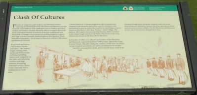
Clash Of Cultures
Camp Connor Peace Treaty
To prevent starvation - and to drive out the intruders - the Indians began raiding cattle herds and homesteads, robbing and killing miners and emigrants on the trails, and attacking coaches and stage stations, disrupting vital mail service. These events naturally led to retaliations on both sides.
Colonel Patrick E. Connor, assigned in 1862 to protect the emigrant trails along the Bear River and the Overland mail, determined to put and end to the troubles by launching a surprise attack on Shoshone Chief Bear Hunter's winter village. The January 1863 attack near present-day Preston, Idaho resulted in the larges single massacre of Native Americans in the west - infamously known as the Bear River Massacre.
In October of 1863, U.S. officials and leaders of the Shoshone and Bannock, representing about 5,000 people, signed the Camp Conneor Treaty, officially ending the violence in the area. In return for government provisions, the tribes promised not to trouble travelers crossing their lands, and to permit more roads to be built.
The treaty brought peace along the emigrant trails and in settlements, and ultimately opened up prime agricultural lands and resources to more settlers. For the Shoshone and Bannock people, the treaty forever changed their lives.
Erected by Department of the Interior, National Park Service.
Topics. This historical marker is listed in these topic lists: Roads & Vehicles • Settlements & Settlers • Wars, US Indian. A significant historical month for this entry is October 1863.
Location. 42° 39.21′ N, 111° 36.886′ W. Marker is in Soda Springs, Idaho, in Caribou County. Marker is on South 3rd Street West near West 3rd Street South. Touch for map. Marker is at or near this postal address: 290 South 3rd Street West, Soda Springs ID 83276, United States of America. Touch for directions.
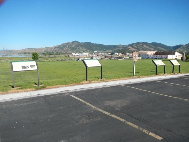
Other nearby markers. At least 8 other markers are within walking distance of this marker. First In Soda Springs (here, next to this marker); Law & Order On The Frontier (here, next to this marker); A New Beginning... (a few steps from this marker); Father De Smet Monument (approx. half a mile away); Not A Walk In The Park... (approx. half a mile
away); Wagon Box Grave of 1861 (approx. half a mile away); Niels Anderson ---- Mary Christoffersen Anderson (approx. half a mile away); Ground Observation Corps Soda Springs Post (approx. half a mile away). Touch for a list and map of all markers in Soda Springs.
More about this marker. The markers are in The Church of Jesus Christ of Latter-day Saints church parking lot.
Law & Order On The Frontier
Also see . . . Volunteer Troops For Guarding The Overand and Inland Mail and Emigrant Routes - Congressional Series. For the first time in the history of the country it now be truly announced that the great emigrant road through the Territory may be safely traversed by single persons without dangers to life or property of fear of molestation by Indians. (Submitted on August 8, 2017, by Barry Swackhamer of Brentwood, California.)
Credits. This page was last revised on August 8, 2017. It was originally submitted on August 8, 2017, by Barry Swackhamer of Brentwood, California. This page has been viewed 368 times since then and 28 times this year. Photos: 1, 2. submitted on August 8, 2017, by Barry Swackhamer of Brentwood, California.

