Carrsbrook near Earlysville in Albemarle County, Virginia — The American South (Mid-Atlantic)
Monacan Indian Village
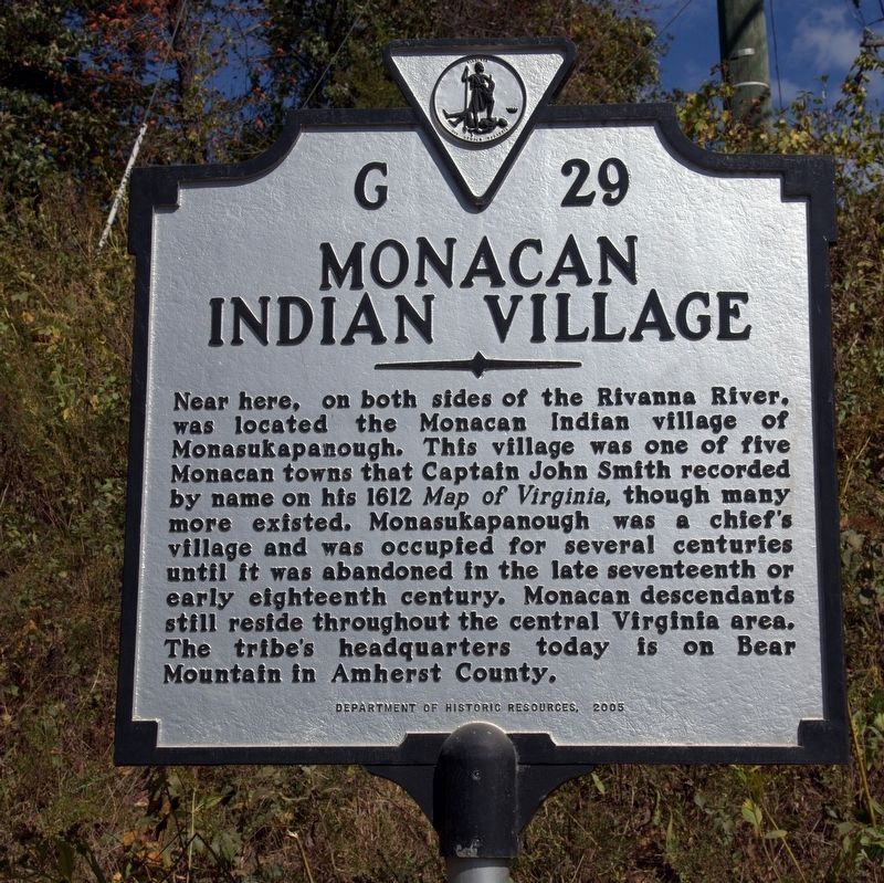
Near here, on both sides of the Rivanna River, was located the Monacan Indian village of Monasukapanough. This village was one of five Monacan towns that Captain John Smith recorded by name on his 1612 Map of Virginia, though many more existed. Monasukapanough was a chief’s village and was occupied for several centuries until it was abandoned in the late seventeenth or early eighteenth century. Monacan descendants still reside throughout the central Virginia area. The tribe’s headquarters today is on Bear Mountain in Amherst County.
Erected 2005 by Department of Historic Resources. (Marker Number G-29.)
Topics and series. This historical marker is listed in this topic list: Native Americans. In addition, it is included in the Virginia Department of Historic Resources (DHR) series list. A significant historical year for this entry is 1612.
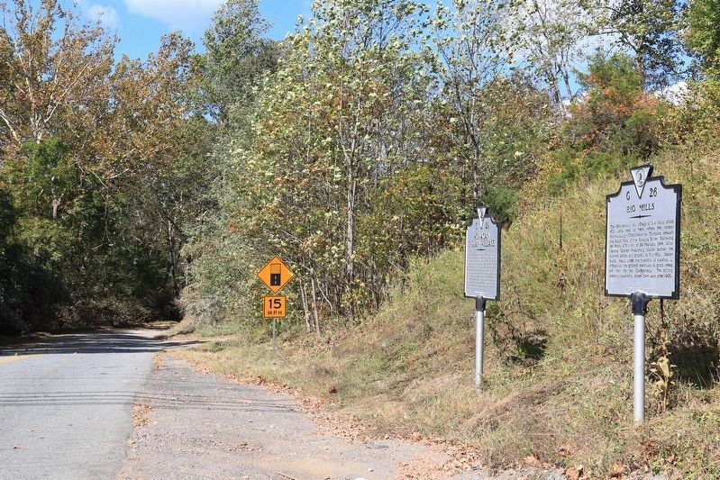
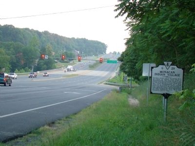
Location. 38° 6.169′ N, 78° 27.642′ W. Marker is near Earlysville, Virginia, in Albemarle County. It is in Carrsbrook. Marker is at the intersection of Rio Mills Road (County Route 643) and Seminole Trail (U.S. 29), on the right when traveling west on Rio Mills Road. Touch for map. Marker is in this post office area: Charlottesville VA 22901, United States of America. Touch for directions.
Other nearby markers. At least 8 other markers are within 2 miles of this marker, measured as the crow flies. Rio Mills (here, next to this marker); Skirmish at Rio Hill (approx. 1.3 miles away); Rio Hill 1864 Skirmish (approx. 1.3 miles away); Rio Hill (approx. 1.3 miles away); Old Springs (approx. 1.8 miles away); Six Miles of Trails (approx. 1.9 miles away); Legacy of Hugh Carr / The Village of Hydraulic Mills (approx. 1.9 miles away); The Origins of Ivy Creek Natural Area (approx. 1.9 miles away).
More about this marker. Marker was originally erected at this intersection, but on U.S. 29 itself, on the right when traveling south. In 2016 when Route 29 was widened, it and its neighbor were removed for a while and returned around the corner where they can be found today.
Also see . . . Monasukapanaugh. Cvillepedia website entry:
“The remains of the Monacan village of Monasukapanough are now buried beneath the floodplain of the Rivanna River at a site marked as 44AB18. The landscape of the area has a very different appearance today than it had while the Monacans were living there. After centuries of plowing, the rolling hills have been turned into a nearly flat plain, and today, a soccer field covers much of the land that used to be the village. The burial mound associated with the village, once at least 12 feet high, is no longer visible as a landform. It takes a great deal of imagination to visualize the world that existed when the village of Monasukapanough was inhabited.” (Submitted on June 10, 2009.)
Credits. This page was last revised on January 17, 2024. It was originally submitted on June 10, 2009, by J. J. Prats of Powell, Ohio. This page has been viewed 4,215 times since then and 136 times this year. Last updated on August 11, 2017, by Pete Payette of Orange, Virginia. Photos: 1, 2. submitted on October 7, 2017, by J. J. Prats of Powell, Ohio. 3. submitted on June 10, 2009, by J. J. Prats of Powell, Ohio. • Bill Pfingsten was the editor who published this page.


