Near Soda Springs in Caribou County, Idaho — The American West (Mountains)
Trails, Rails and Highways

Photographed By Barry Swackhamer, June 22, 2017
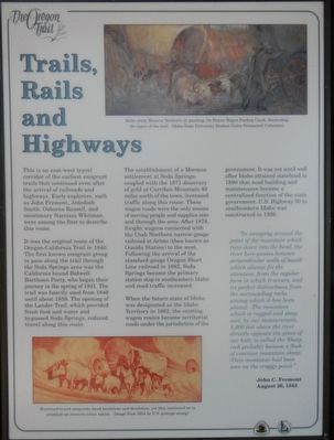
1. Trails, Rails and Highways Marker
Captions: (upper right) Idaho artist Minerva Teichert's oil painting, Ox Drawn Wagon Fording Creek, illustrating the rigors of the trail.; (bottom left) Westward-bound emigrants faced harshness and desolation, yet continued on to establish an ocean-to-ocean nation. (Image from 1954 3˘ U.S. postage stamp).
It was the original route of the Oregon-California Trail in 1840. The first known emigrant group to pass along the trail through the Soda Springs area was the California bound Bidwell-Bartleson Party, who began their journey in the spring of 1841. The trail was heavily used from 1849 until about 1859. The opening of the Lander Trail, which provided fresh food and water and bypassed Soda Springs, reduced travel along this route.
The establishment of a Mormon settlement at Soda Springs, coupled with the 1871 discovery of gold at Carriboo Mountain 40 miles north of the town, increased traffic along this route. These wagon roads were the only means of moving people and supplies into and through the area. After 1878, freight wagons connected with the Utah Northern narrow-gauge railroad at Arimo (then known as Oneida Station) to the west. Following the arrival of the standard-gauge Oregon Short Line railroad in 1882, Soda Springs became the primary station stop in southeastern Idaho and road traffic increased.
When the future state of Idaho was designated as the Idaho Territory in 1863, the existing wagon routes became territorial roads under there jurisdiction of the government. It was not until well after Idaho attained statehood in 1890 that road building and maintenance became a centralized function of the state government. U.S. Highway 30 in southeastern Idaho was constructed in 1926.
"In sweeping around the point of the mountain which runs down into the bend, the river here passes between perpendicular walls of basalt, which always fix the attention, from the regular form in which it occurs, and its perfect distinctness from the surrounding rocks among which it has been placed. The mountain, which is rugged and steep, and by our measurement, 1,400 feet above the river directly opposite the place of our halt, is called Sheep rock probably because a flock of the common mountain sheep (Ovis montana) had been seen on the craggy point." - John C. Fremont, August 26, 1843
Erected by Idaho Department of Transportation.
Topics and series. This historical marker is listed in these topic lists: Exploration • Roads & Vehicles. In addition, it is included in the Oregon Trail series list. A significant historical date for this entry is August 26, 1843.
Location. 42° 38.861′ N, 111° 42.111′ W. Marker is near Soda Springs
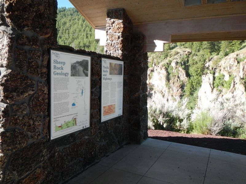
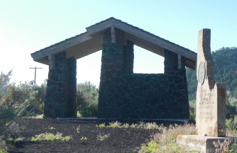
, Idaho, in Caribou County. Marker is on Soda Point Power Plant Road near Reservoir Road, on the right when traveling south. There are five markers inside this kiosk located on the Oregon Trail near Sheep Rock (Soda Point). Touch for map. Marker is at or near this postal address: 1599 Soda Point Power Plant Road, Soda Springs ID 83276, United States of America. Touch for directions.
Other nearby markers. At least 8 other markers are within walking distance of this marker. Idaho's Emigrant Trails (here, next to this marker); Sheep Rock Geology (here, next to this marker); Hudspeth Cutoff (here, next to this marker); Fort Hall (here, next to this marker); The Value Of A Shortcut (a few steps from this marker); Guiding Landmark... (a few steps from this marker); Horatio's Journey (a few steps from this marker); William Henry Harrison (a few steps from this marker). Touch for a list and map of all markers in Soda Springs.
Credits. This page was last revised on August 11, 2017. It was originally submitted on August 11, 2017, by Barry Swackhamer of Brentwood, California. This page has been viewed 610 times since then and 79 times this year. Photos: 1, 2, 3. submitted on August 11, 2017, by Barry Swackhamer of Brentwood, California.

