Near Nyse in Malheur County, Oregon — The American West (Northwest)
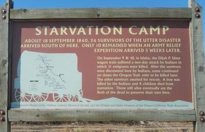
Starvation Camp
About 18 September 1860, 26 survivors of the Utter disaster arrived south of here. Only 10 remained when an army relief expedition arrived 5 weeks later.
On September 9 & 10, in Idaho, the Elijah P. Utter wagon train suffered a two-day attack by Indians in which 11 emigrants were killed. After the survivors were discovered here by Indians, some continued on down the Oregon Trail, only to be killed later. The other survivors awaited (sic) for rescue. A boy was killed by the Indians and 4 children died from starvation. Those still alive eventually ate the flesh of the dead to preserve their own lives.
Erected by Malheur County Historical Society, Idaho and Oregon Chapters of the Oregon-California Trails Association.
Topics. This historical marker is listed in these topic lists: Disasters • Settlements & Settlers. A significant historical date for this entry is September 18, 1860.
Location. 43° 49.518′ N, 117° 2.232′ W. Marker is near Nyse, Oregon, in Malheur County. Marker is on Succor Creek Highway (Oregon Route 201) near Adams Road, on the left when traveling north. Touch for map. Marker is at or near this postal address: 2727 Succor Creek Highway, Nyssa OR 97913, United States of America. Touch for directions.
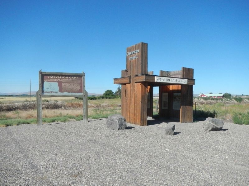
Other nearby markers. At least 8 other markers are within 9 miles of this marker, measured as the crow flies. Old Fort Boise Snake River Crossing Kiosk (a few steps from this marker); Old Oregon Trail (a few steps from this marker); Fort Boise (approx. 6.1 miles away in Idaho); Marie Dorion (approx. 6.1 miles away in Idaho); Old Fort Boise (approx. 6.1 miles away in Idaho); a different marker also named Old Oregon Trail (approx. 6.1 miles away in Idaho); The South Alternate Route of the Oregon Trail (approx. 6.6 miles away); Imagine a Day's Journey (approx. 9.1 miles away).
Also see . . . Utter Disaster. Roadside America website entry (Submitted on December 5, 2021, by Larry Gertner of New York, New York.)
Additional keywords. Utter Disaster
Credits. This page was last revised on December 5, 2021. It was originally submitted on August 13, 2017, by Barry Swackhamer of Brentwood, California. This page has been viewed 1,595 times since then and 190 times this year. Photos: 1, 2. submitted on August 13, 2017, by Barry Swackhamer of Brentwood, California.

