Beaubassin 1672-1750
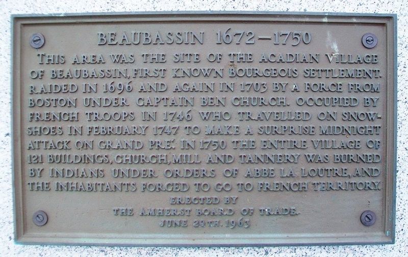
This area was the site of the Acadian village of Beaubassin, first known Bourgeois settlement. Raided in 1696 and again in 1703 by a force from Boston under Captain Ben Church. Occupied by French troops in 1746 who travelled on snowshoes in February 1747 to make a surprise midnight attack on Grand Pré. In 1750 the entire village of 121 buildings, church, mill and tannery was burned by Indians under orders of Abbe La Loutre, and the inhabitants forced to go to French territory.
[Erected] June 20th. 1963
Erected 1963 by the Amherst Board of Trade.
Topics and series. This historical marker is listed in these topic lists: Disasters • Settlements & Settlers • War, French and Indian. In addition, it is included in the Acadian History series list. A significant historical month for this entry is February 1747.
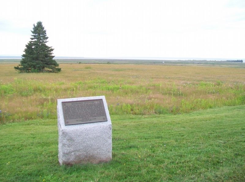
Location. 45° 51.131′ N, 64° 15.586′ W. Marker is near Fort Lawrence, Nova Scotia, in Cumberland County. Marker is southwest of (behind) the Nova Scotia Welcome Centre. Touch for map. Marker is at or near this postal address: 90 Cumberland Loop, Fort Lawrence NS B4H 3Y5, Canada. Touch for directions.
Other nearby markers. At least 8 other markers are within 5 kilometers of this marker, measured as the crow flies. Un hommage à/A Tribute to Jacob (Jacques) Bourgeois (within shouting distance of this marker); Natural History (within shouting distance of this marker);
Also see . . .
1. Beaubassin National Historic Site of Canada. (Submitted on August 13, 2017, by William Fischer, Jr. of Scranton, Pennsylvania.)
2. Acadian History. (Submitted on August 13, 2017, by William Fischer, Jr. of Scranton, Pennsylvania.)
3. Founding of Beaubassin. (Submitted on August 13, 2017, by William Fischer, Jr. of Scranton, Pennsylvania.)
Credits. This page was last revised on August 13, 2017. It was originally submitted on August 13, 2017, by William Fischer, Jr. of Scranton, Pennsylvania. This page has been viewed 370 times since then and 16 times this year. Photos: 1, 2. submitted on August 13, 2017, by William Fischer, Jr. of Scranton, Pennsylvania.

