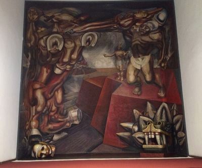
Colonia Tlatelolco in Ciudad de México, Mexico — The Valley of Mexico (The Central Highlands)
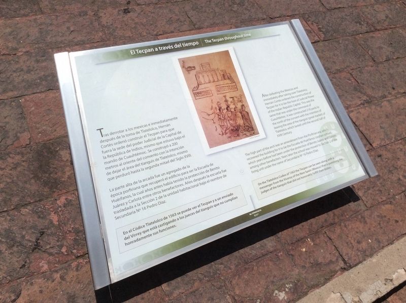
The Tecpan throughout time
La parte alta de la arcada fue un agregado de la época porfiriana que recuperó el edificio para ser la Escuela de Huérfanos, la cual años antes había tenido la protección de Benito Juárez y Carlota entre otros benefactores. Años después la escuela fue trasladada a la Sección 2 de la unidad habitacional bajo el nombre de Secundaria No 16 Pedro Díaz.
En el Códice Tlatelolco de 1563 se puede ver el Tecpan y a un enviado del Virrey que está castigando a los jueces del tianguis que no cumplían honradamente sus funciones.
Pie de dibujo: Códice Tlatelolco
The high part of the arch was an amendment from the Porfirian era, which recovered the building for it to be the Escuela de Huérfanos (orphan school), which years before had been under the protection of Benito Juárez and Carlota, among other benefactors. Years later the school was moved to Section 2 of the living unit under the name of Secundaria No 16 Pedro Díaz.
On the Tlatelolco Codex of 1563 the Tecpan can be seen along with a messenger from the Viceroy of the New Spain (México) that is punishing the judges of the tianguis that did not honorably fulfill their duties.
English translation of caption: Tlatelolco Codex
Erected by Conaculta - INAH.
Topics. This historical marker is listed in these topic lists: Architecture • Colonial Era • Industry & Commerce • Native Americans. A significant historical year for this entry is 1563.
Location.
Photographed By J. Makali Bruton, August 7, 2017
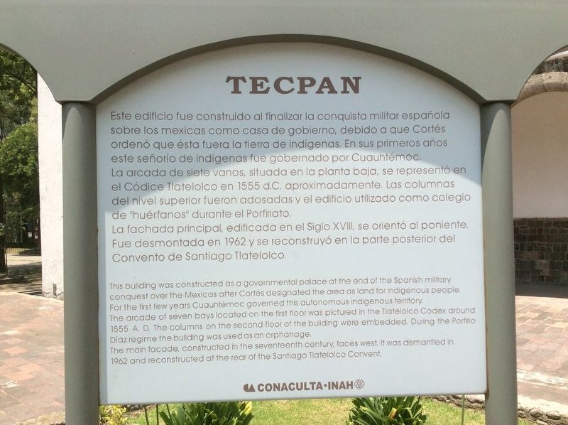
2. An additional Tecpan marker
This additional marker, with roughly the same information as the featured marker, is some meters to the south. It reads:
Tecpan Este edificio fue construido al finalizar la conquista militar española
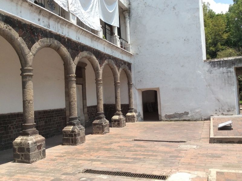
sobre los mexicas como casa de gobierno, debido a que Cortés ordenó que ésta fuera la tierra de indígenas. En sus primeros años este señorío de indígenas fue gobernado por Cuauhtémoc. La arcada de siete vanos, situada en la planta baja, se representó en el Códice Tlatelolco en 1555 d. C. aproximadamente. Las columnas
del nivel superior fueron adosadas y el edificio utilizado como colegio de "huérfanos" durante el Porfiriato.
La fachada principal, edificada en el Siglo XVIII, se orientó al poniente. Fue desmontada en 1962 y se reconstruyó en la parte posterior del Convento de Santiago Tlatelolco.
English:
This building was constructed as a governmental palace at the end of the Spanish military conquest over the Mexicas after Cortés designated the area as land for indigenous people. For the first few years Cuauhtémoc governed this autonomous indigenous territory. The arcade of seven bays located on the first floor was pictured in the Tlatelolco Codex around 1555 A.D. The columns on the second floor of the building were embedded. During the Porfirio Díaz regime the building was used as an orphanage.
The main facade, constructed in the seventeenth century, faces west. It was dismantled in 1962 and reconstructed at the rear of the Santiago Tlatelolco Convent.
Other nearby markers. At least 8 other markers are within walking distance of this marker. José Guadalupe Posada (within shouting distance of this marker); Samuel Hahnemann (about 120 meters away, measured in a direct line); Cuitlahuac (about 210 meters away); Architectonic puzzle: The façade of Tecpan (approx. 0.2 kilometers away); The Small Area of Tlatelolco (approx. 0.2 kilometers away); Friar Bernardino Sahagún (approx. 0.3 kilometers away); Church of Santiago (approx. 0.3 kilometers away); Tlatelolco Massacre of October 2, 1968 (approx. 0.3 kilometers away). Touch for a list and map of all markers in Ciudad de México.
Photographed By J. Makali Bruton, August 7, 2017
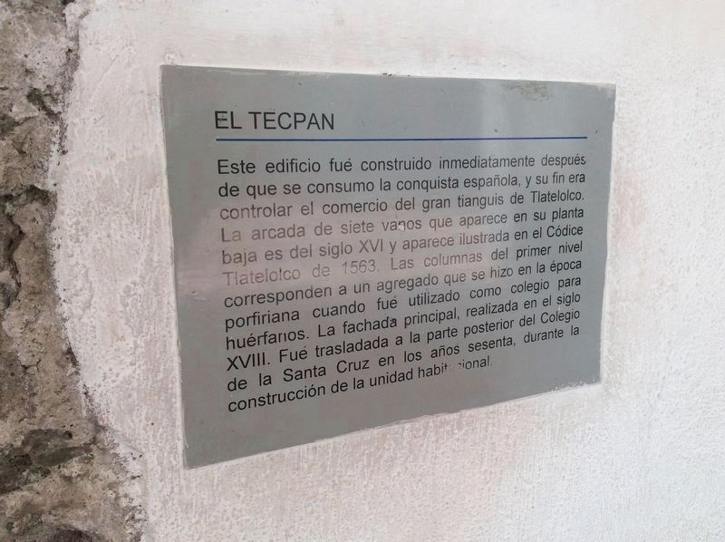
3. An additional Tecpan marker
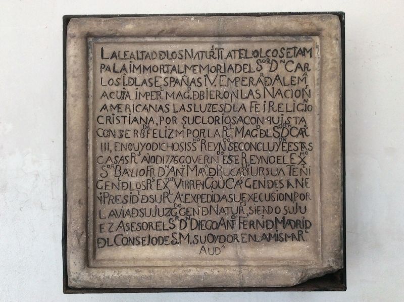
This additional marker, some few steps northwest of the featured marker is mounted to the tecpan. Its text is similar to the two other markers at the location. It reads:
El Tecpan
Este edificio fue construido inmediatamente después de que se consumo la conquista española, y su fin era controlar el comercio del gran tianguis de Tlatelolco. La arcada de siete vanos que aparece en su planta baja es del siglo XVI y aparece ilustrada en el Códice Tlatelolco de 1563. Las columnas del primer nivel corresponden a un agregado que se hizo en la época porfiriano cuando fué utilizado como colegio para huérfanos. La fachada principal, realizada en el siglo XVIll. Fue trasladada a la parte posterior del Colegio de la Santa Cruz en los años sesenta, durante la construcción de la unidad habitacional.
Photographed By J. Makali Bruton, August 7, 2017
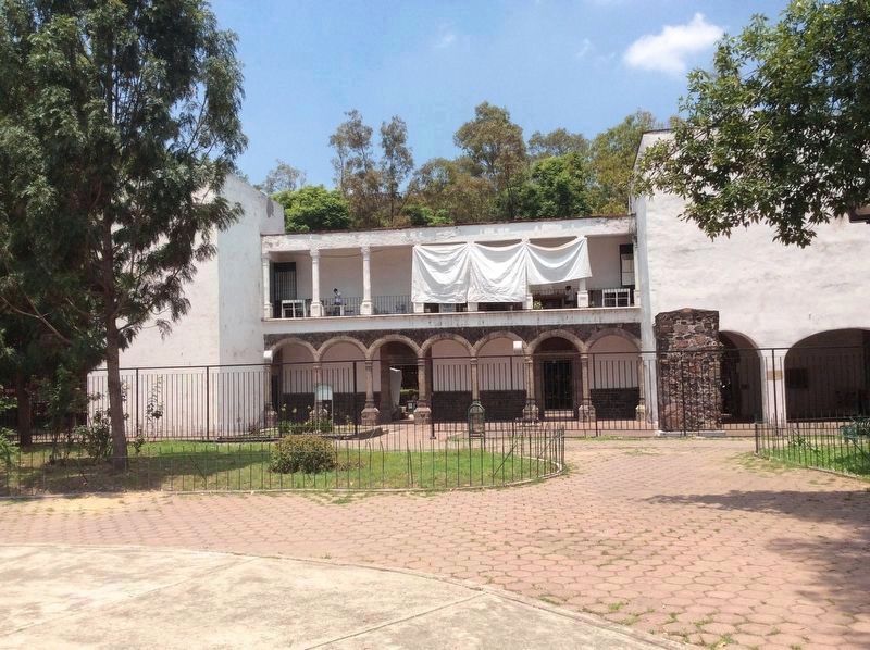
7. The Tecpan of Tlatelolco
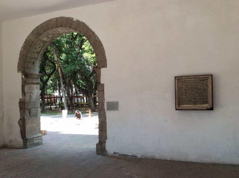
The marker reverse can be seen towards the right center in this view towards the west. The upright additional marker can be seen towards the left of center. Note the architectural features mentioned in the marker text, such as the arched bays and the additional second floor.
Credits. This page was last revised on April 17, 2020. It was originally submitted on August 13, 2017, by J. Makali Bruton of Accra, Ghana. This page has been viewed 206 times since then and 18 times this year. Photos: 1, 2, 3, 4, 5, 6, 7, 8. submitted on August 13, 2017, by J. Makali Bruton of Accra, Ghana.
