Changing Size and Color
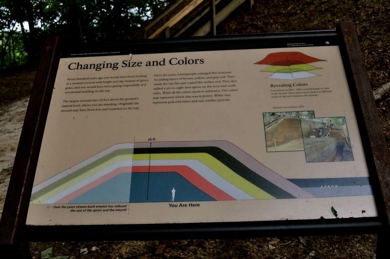
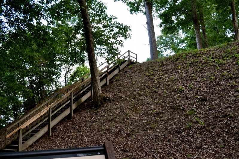
The largest mound rises 25 feet above the ground's natural level, where you are standing. Originally the mound may have been low and round on the top.
Over the years, townspeople enlarged this structure by adding layers of brown, yellow, and gray soil. They made the top flat and coated the surface red. They also added a six-to-eight-foot apron on the west and south sides. What all the colors mean is unknown. The colors may represent which clan was in power. White may represent peaceful times and red, warlike periods.
Over the years stream-bank erosion has reduced the size of the apron and the mound.
Revealing Colors
Excavations in 2001-2003 revealed bands of color in the mound. These layers were created as different kinds of clay were added to the mound.
Mound cross-sections, 2003
Erected by National Park Service U. S, Department of the Interior.
Topics. This historical marker is listed in these topic lists: Environment • Man-Made Features • Native Americans. A significant historical year for this entry is 2003.
Location. 35° 8.668′
Other nearby markers. At least 8 other markers are within walking distance of this marker. Gunboats Tyler and Lexington (within shouting distance of this marker); Gunboats on the River (within shouting distance of this marker); Ohio (approx. 0.2 miles away); End of a Long, Hard Day (approx. 0.2 miles away); Vibrant Community (approx. 0.2 miles away); Chalmers' Brigade (approx. ¼ mile away); Strategic Location (approx. 0.3 miles away); Pittsburg Landing (approx. 0.3 miles away). Touch for a list and map of all markers in Shiloh.
Credits. This page was last revised on February 7, 2023. It was originally submitted on August 14, 2017, by Sandra Hughes Tidwell of Killen, Alabama, USA. This page has been viewed 194 times since then and 6 times this year. Photos: 1, 2. submitted on August 14, 2017, by Sandra Hughes Tidwell of Killen, Alabama, USA. • Bill Pfingsten was the editor who published this page.

