Amargosa Valley in Nye County, Nevada — The American Mountains (Southwest)
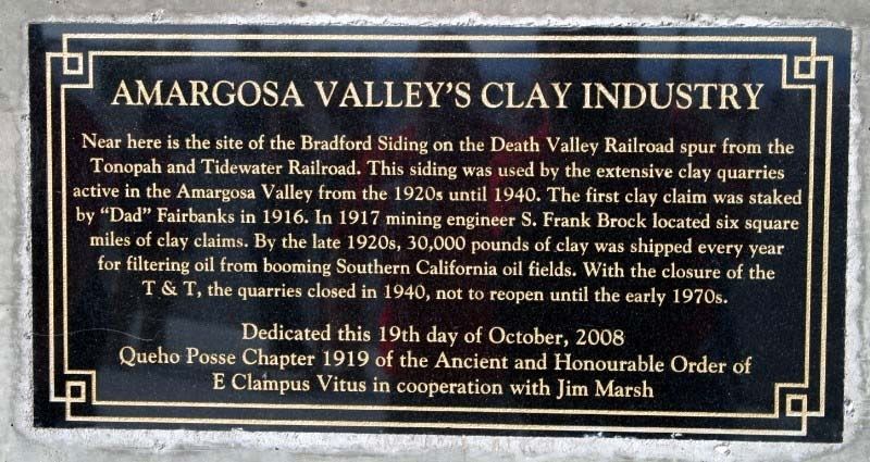
Amargosa Valley's Clay Industry
Inscription.
Near here is the site of the Bradford Siding on the Death Valley Railroad spur of the Tonopah and Tidewater Railroad. This siding was used by the extensive clay quarries active in the Amargosa Valley from the 1920's until 1940. The first clay claim was staked by 'Dad' Fairbanks in 1916. In 1917 mining engineer S. Frank Brock located six square miles of clay claims. By the late 1920's 30,000 pounds of clay was shipped every year for filtering oil from booming Southern California oilfields. With the closure of the T & T the quarries closed in 1940, not to reopen until the 1970's.
Erected 2008 by Queho Posse Chapter 1919 of the Ancient and Honorable Order of E Clampus Vitus, and Jim Marsh.
Topics and series. This historical marker is listed in these topic lists: Environment • Industry & Commerce. In addition, it is included in the E Clampus Vitus series list.
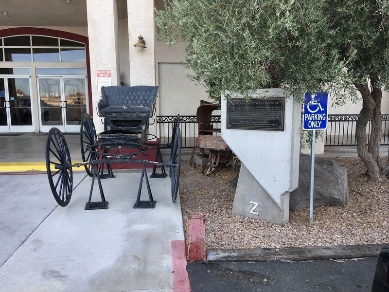
Location. 36° 24.788′ N, 116° 25.409′ W. Marker is in Amargosa Valley, Nevada, in Nye County. Marker is on State Road 373, 7˝ miles north of Death Valley Junction, on the left when traveling north. Located outside the Longstreet Casino, on the right side of the main entrance. Touch for map. Marker is at or near this postal address: 8570 S Nevada Highway 373, Amargosa Valley NV 89020, United States of America. Touch for directions.
Other nearby markers. At least 6 other markers are within 9 miles of this marker, measured as the crow flies. Jack Longstreet (a few steps from this marker); Jack's Stone Cabin (approx. 6.6 miles away); Amargosa Opera House (approx. 7.7 miles away in California); Death Valley Junction (approx. 7.7 miles away in California); A Changing Landscape (approx. 8.3 miles away); Cultural Clues to the Past (approx. 8.4 miles away).
Credits. This page was last revised on October 23, 2021. It was originally submitted on August 15, 2017, by Frank Gunshow Sanchez of Hollister, California. This page has been viewed 315 times since then and 27 times this year. Photos: 1. submitted on August 15, 2017. 2. submitted on October 23, 2021, by Craig Baker of Sylmar, California. • Bill Pfingsten was the editor who published this page.

