Near Fort Oglethorpe in Walker County, Georgia — The American South (South Atlantic)
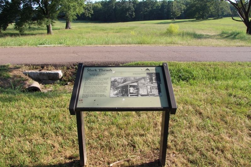
Mark Thrash
=====================
This former slave served the
National Military Park
for 28 years
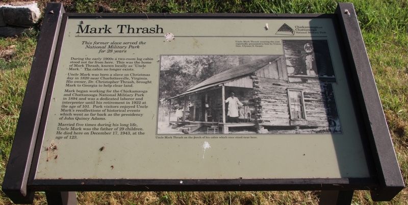
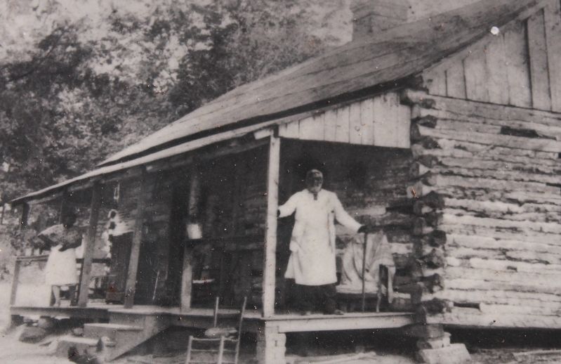
During the early 1900s a two-room log cabin stood not far from here. This was the home of Mark Thrash, known locally as "Uncle Mark." The cabin no longer exists.
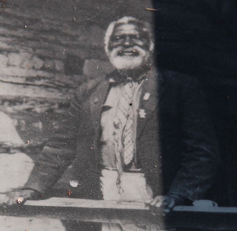
Uncle Mark was born a slave on Christmas day in 1820 near Charlottesville, Virginia. His owner, Dr. Christopher Thrash, brought Mark to Georgia to help clear land.
Mark began working for the Chickamauga and Chattanooga National Military Park in 1894 and was a dedicated laborer and interpreter until his retirement in 1922 at the age of 101. Park visitors enjoyed Uncle Mark's recollections of historical events which went as far back as the presidency of John Quincy Adams.
Married five times during his long life, Uncle Mark was the father of 29 children. He died here on December 17, 1943, at the age of 123.
Erected by the Chickamauga and Chattanooga National Military Park.
Topics and series. This historical marker is listed in these topic lists: African Americans • Parks & Recreational Areas • War, US Civil. In addition, it is included in the Former U.S. Presidents: #06 John Quincy Adams series list. A significant historical date for this entry is December 17, 1943.
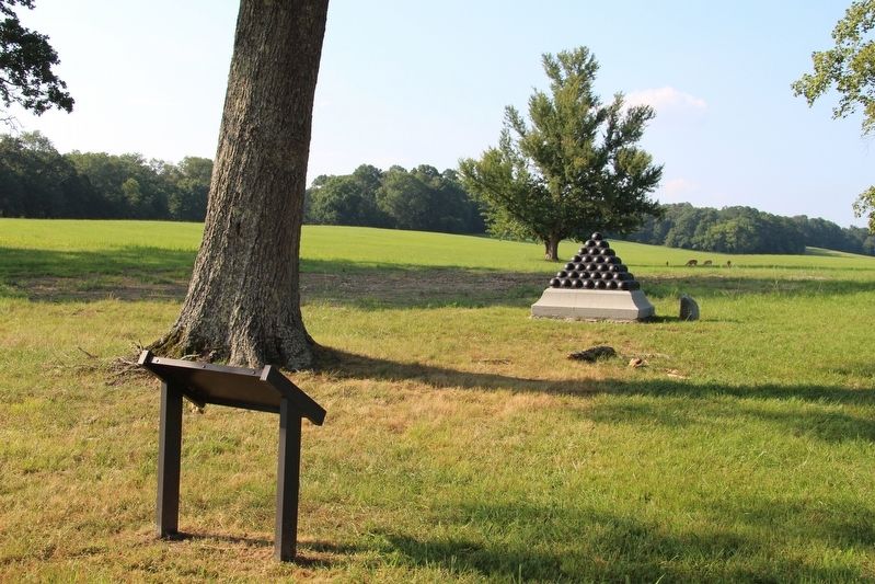
Location. 34° 55.036′ N, 85° 16.129′ W. Marker is near Fort Oglethorpe, Georgia, in Walker County. Marker is on Dyer Road east of Chickamauga-Vittatoe Road, on the left when traveling east. This marker panel is located a few feet north of the roadway, in the North Dyer Field. Touch for map. Marker is in this post office area: Fort Oglethorpe GA 30742, United States of America. Touch for directions.
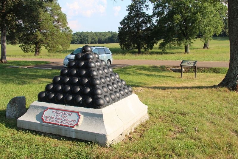
Other nearby markers. At least 8 other markers are within walking distance of this marker. Longstreet's Headquarters Shell Monument (a few steps from this marker); Hospital, 1st Division, 14th Corps Union Army (within shouting distance of this marker); Battery M, 1st Ohio Light Artillery (approx. 0.2 miles away); Rout of the Union Right (approx. 0.2 miles away); Battery G, 1st Ohio Light Artillery (approx. 0.2 miles away); a different marker also named Battery G, 1st Ohio Light Artillery (approx. 0.2 miles away); 15th Pennsylvania Cavalry (approx. 0.2 miles away); Rosecrans' Headquarters Shell Monument (approx. 0.2 miles away). Touch for a list and map of all markers in Fort Oglethorpe.
Credits. This page was last revised on November 17, 2019. It was originally submitted on August 16, 2017, by Dale K. Benington of Toledo, Ohio. This page has been viewed 675 times since then and 76 times this year. Photos: 1, 2, 3, 4, 5. submitted on August 16, 2017, by Dale K. Benington of Toledo, Ohio. 6. submitted on August 17, 2017, by Dale K. Benington of Toledo, Ohio.
