Norfolk Botanical Gardens , Virginia — The American South (Mid-Atlantic)
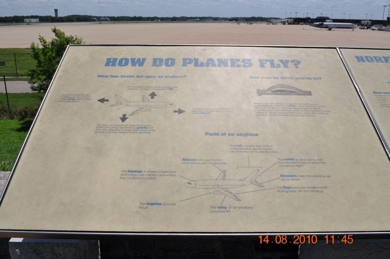
How do Planes Fly?
Air flowing over the curved wings of an airplane creates a force called lift.
As an airplane moves through the air, a force called drag tries to slow the plane down.
The force that pulls all objects toward Earth, including airplanes, is gravity. Lift from the airplane's wings must overcome gravity and the weight of the airplane.
The plane's engines propelled forward. This forward plane's called thrust.
How does an airplane provide lift?
Planes can't fly without wings. Wings must have a special shape-called an airfoil, which is more curved above than below. Air flows faster over the airfoil's curved upper surface than under it. This creates a force called lift which enables the plane to fly. The faster an airplane moves toward the greater the lift.
Parts of an Airplane
The tail is where the control surface such as the rudder and the evlevators are located.
Ailerons are used to turn and maneuver the airplane.
The fuselage is where passengers and cargo are carried and where the cockpit is located.
The engines provide thrust.
The wing of an airplane provides lift.
The rudder is used along with the ailerons to turn or bank the airplane in flight.
Elevators help the airplane go up or down.
The flaps provide additional lift during take off and landing.
Topics. This historical marker is listed in this topic list: Air & Space.
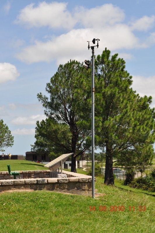
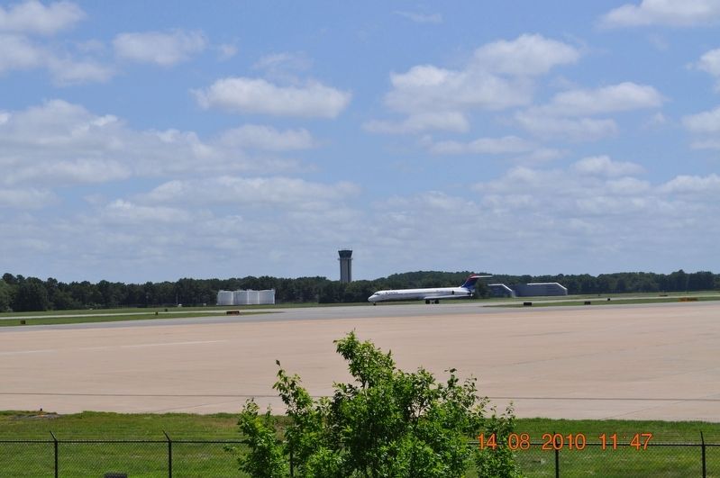
Location. 36° 54.042′ N, 76° 12.006′ W. Marker is in Norfolk, Virginia. It is in Norfolk Botanical Gardens. Marker can be reached from Botanical Gardens Access Road, 0.6 miles east of Azalea Garden Road, on the right when traveling east. Located in Norfolk Botanical Gardens overlooking the Norfolk Airport. Touch for map. Marker is at or near this postal address: 6700 Azalea Garden Rd, Norfolk VA 23518, United States of America. Touch for directions.
Other nearby markers. At least 8 other markers are within 3 miles of this marker, measured as the crow flies. Norfolk International Airport (here, next to this marker); Air Traffic Control (here, next to this marker); Norfolk Botanical Gardens (about 600 feet away, measured in a direct line); U.S.N. Armed Guard of World War II Memorial (approx. 1.1 miles away); Col. John Thorowgood Jr. (approx. 2 miles away); City Beach (approx. 2.2 miles away); Bataan Corregidor Memorial (approx. 2.7 miles away); Pearl Harbor Memorial (approx. 2.7 miles away). Touch for a list and map of all markers in Norfolk.
Credits. This page was last revised on February 1, 2023. It was originally submitted on August 17, 2017, by Sandra Hughes Tidwell of Killen, Alabama, USA. This page has been viewed 194 times since then and 8 times this year. Photos: 1, 2, 3. submitted on August 17, 2017, by Sandra Hughes Tidwell of Killen, Alabama, USA. • Bernard Fisher was the editor who published this page.


