Near Ontario in Malheur County, Oregon — The American West (Northwest)
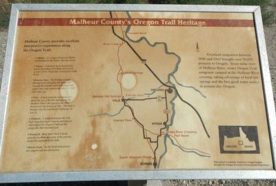
Malheur County's Oregon Trail Heritage
Malheur County provides excellent interpretive experiences along the Oregon Trail.:
• Adrian, An Oregon Historical Marker commemorates the South Alternate Route.
• Nyssa, A kiosk presents interpretive panels describing Fort Boise and a vivid account of emigrants crossing the Snake River.
• Keeney Pass, The Bureau of Land Management interprets the dusty track through the summit with well-preserved wagon ruts and a panoramic view of a full day's journey.
• Vale, A kiosk presents interpretation about the use of the Hot Springs on the Malheur River, the legend of the Blue Bucket and the history of Vale. The kiosk is located near the junction of Highways 20 and 26.
• Ontario, A kiosk locate at the I-94 Rest Area East near Ontario, presents an overview of the Oregon Trail and the emigrants that traveled west.
• Farewell Bend State Park, A kiosk presents excellent accounts of the journey along this segment of the trail.
• Birch Creek, At the BLM interpretive site, wagon ruts are distinctive.
Erected by Oregon Economic Development Department.
Topics. This historical marker is listed in these topic lists: Natural Features • Roads & Vehicles • Settlements & Settlers. A significant historical year for this entry is 1840.
Location. 43° 59.136′ N, 117° 5.97′ W. Marker is near Ontario, Oregon, in Malheur County. Marker is on Thundered Boulevard (U.S. 26) near Lee Road, on the left when traveling east. Touch for map. Marker is at or near this postal address: 950 Central Oregon Highway, Ontario OR 97914, United States of America. Touch for directions.
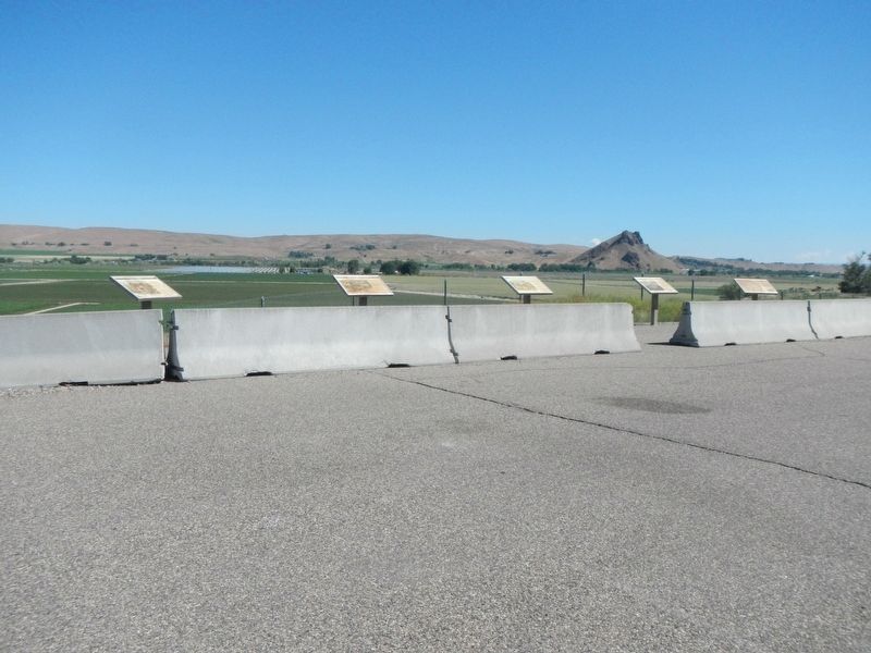
Other nearby markers. At least 8 other markers are within 7 miles of this marker, measured as the crow flies. Malheur Butte (here, next to this marker); First People of the Land (approx. 6˝ miles away); Under the Wagon Cover (approx. 6˝ miles away); Imagine a Day's Journey (approx. 6˝ miles away); In Search of a Dream (approx. 6˝ miles away); Cutoff Fever (approx. 6.6 miles away); Vale Oregon Trail Kiosk (approx. 6.8 miles away); John D. Henderson (approx. 6.8 miles away).
Credits. This page was last revised on August 18, 2017. It was originally submitted on August 18, 2017, by Barry Swackhamer of Brentwood, California. This page has been viewed 325 times since then and 22 times this year. Photos: 1, 2. submitted on August 18, 2017, by Barry Swackhamer of Brentwood, California.

