Near Huntington in Baker County, Oregon — The American West (Northwest)
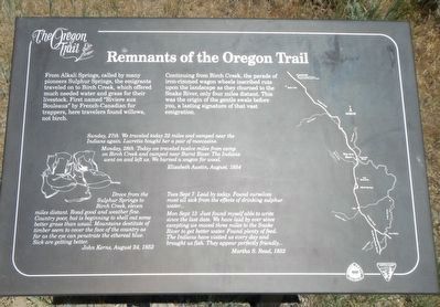
Remnants of the Oregon Trail
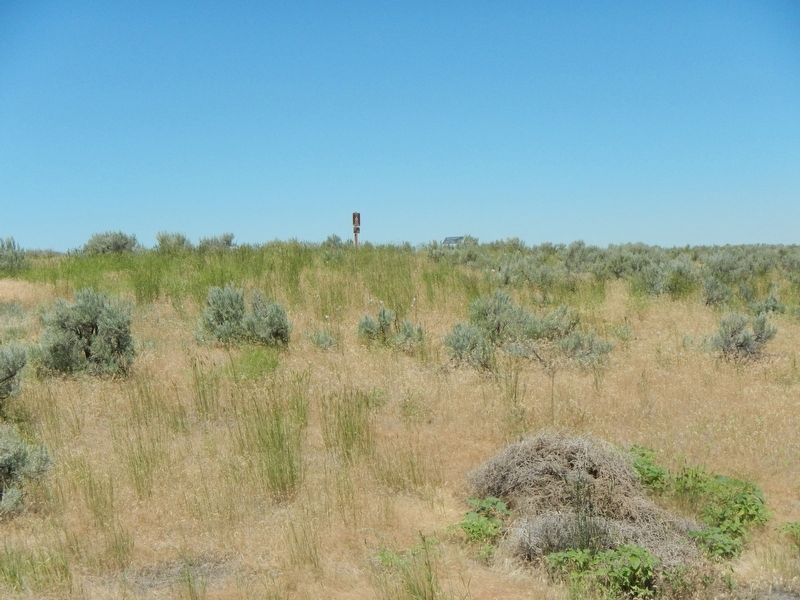
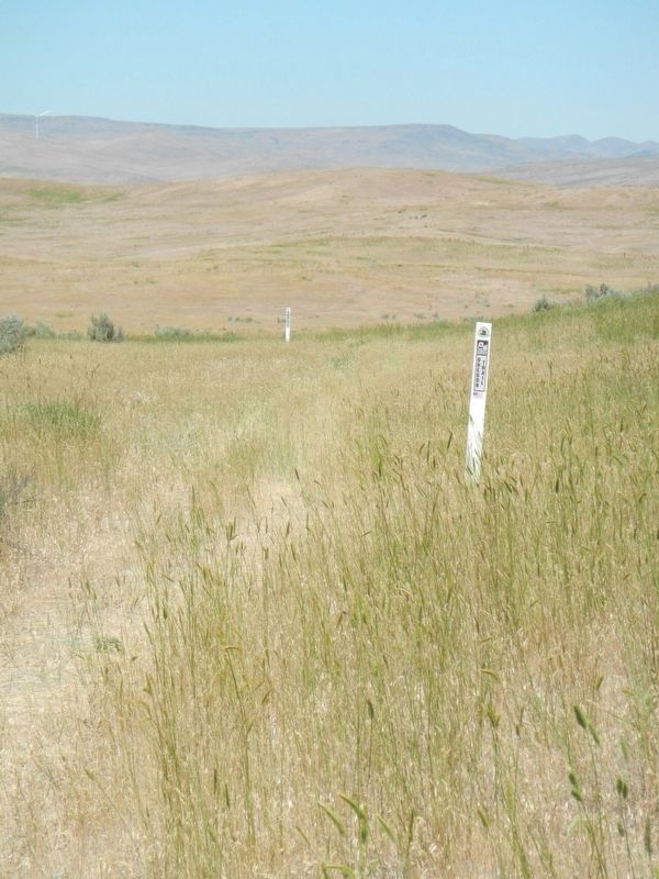
Continuing from Birch Creek, the parade of iron-rimmed wagon wheels inscribed ruts upon the landscape as they churned to the Snake River, only four miles distant. this was the origin of the gentle swale before you, a lasting signature of that vast emigration.
Sunday, 27th We traveled today 22 miles and camped near Indians again. Lucretia bought her a pair of moccasins.
Monday, 28th Today we traveled twelve miles from camp on Birch Creek and camped near Burnt River. The Indians went on and left us. We burned a wagon for wood. -- Elizabeth Austin, August, 1854
Drove from the Sulphur Springs to Birch Creek, eleven miles distant. Road good and weather fine. Country poor, but is beginning to shell out some better grass than usual. Mountains destitute of timber seem to cover the face of the country as far as the eye can penetrate the ethereal blue. Sick are getting better. -- John Kerns, August 24, 1852
Tues Sept 7 Laid by today. Found ourselves most all sick from the effects of drinking sulphur water...
Mon Sept 13 Just found myself able to write since the last date. We have laid by ever since excepting we moved three miles to the Snake River to get better water. Found plenty of feed. The Indians have visited us every day and brought us fish. They appear perfectly friendly... -- Martha S. Read. 1852
Erected by Department of the Interior, Bureau of Land Management.
Topics. This historical marker is listed in these topic lists: Roads & Vehicles • Settlements & Settlers. A significant historical date for this entry is August 27, 1854.
Location. 44° 16.374′ N, 117° 13.2′ W. Marker is near Huntington, Oregon, in Baker County. Marker is on Lockett Road near Vietnam Veterans Memorial Highway (Interstate 84), on the right when traveling south. Touch for map. Marker is at or near this postal address: 5850 Lockett Road, Huntington OR 97907, United States of America. Touch for directions.
Other nearby markers. At least 6 other markers are within 6 miles of this marker, measured as the crow flies. Farewell Bend (approx. 2.1 miles away); Farewell Bend Oregon Trail Kiosk (approx. 2.2 miles away); Van Ornum Wagon Train Massacre (approx. 4.4 miles away); Van Ornum Massacre (approx. 4.4 miles away); a different marker also named Van Ornum Wagon Train Massacre (approx. 5.9 miles away); The Last Spike (approx. 5.9 miles away).
More about this marker. Lockett
Road is located at Interstate 84 exit 353
Credits. This page was last revised on August 18, 2017. It was originally submitted on August 18, 2017, by Barry Swackhamer of Brentwood, California. This page has been viewed 757 times since then and 40 times this year. Photos: 1, 2, 3, 4. submitted on August 18, 2017, by Barry Swackhamer of Brentwood, California.


