Cherokee in Colbert County, Alabama — The American South (East South Central)
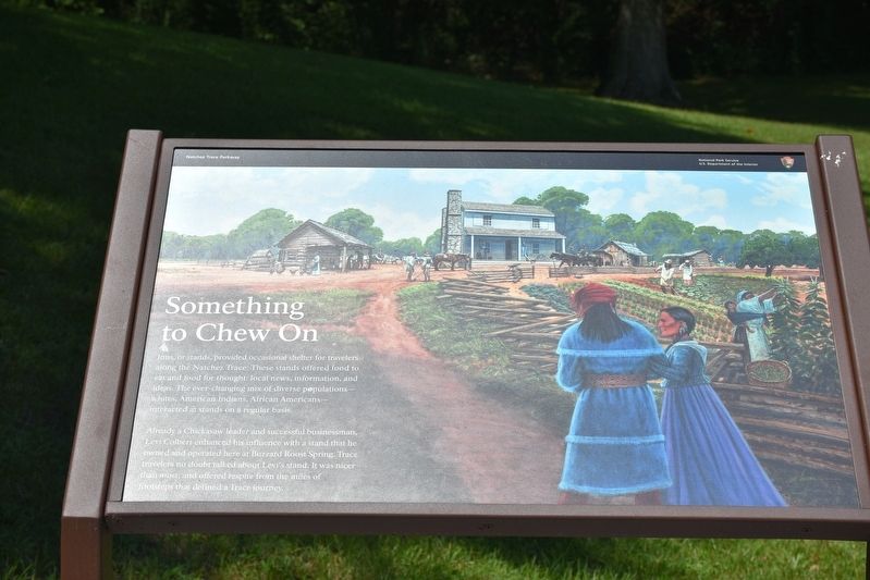
Something to Chew on
Natchez Trace Parkway
— National Park Service, U.S. Department of the Interior —
Already a Chickasaw leader and successful businessman, Levi Colbert enhanced his influence with a stand that he owned and operated here at Buzzard Roost Spring. Trace travelers no doubt talked about Levi’s stand. It was nicer than most, and offered respite from the miles of footsteps that defined a Trace journey.
Erected by National Park Service, U.S. Department of the Interior.
Topics and series. This historical marker is listed in these topic lists: African Americans • Industry & Commerce • Native Americans • Roads & Vehicles. In addition, it is included in the Natchez Trace series list.
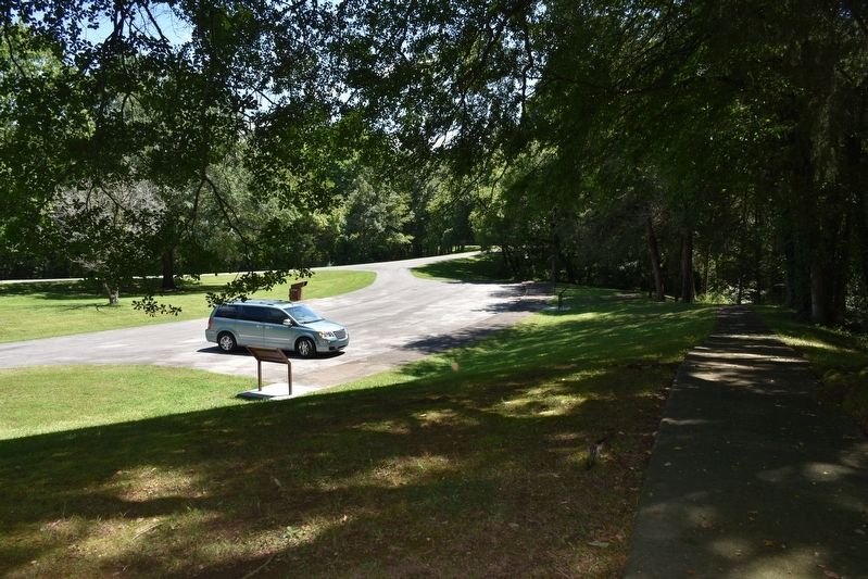
Location. 34° 45.629′ N, 88° 1.373′ W. Marker is in Cherokee, Alabama, in Colbert County. Marker is on Natchez Trace Access Road (at milepost 320.3), 0.4 miles north of Natchez Trace Parkway. Marker is located at Buzzard's Roost Spring Parking Loop. Touch for map. Marker is in this post office area: Cherokee AL 35616, United States of America. Touch for directions.
Other nearby markers. At least 8 other markers are within 7 miles of this marker, measured as the crow flies. Bridging Cultures (here, next to this marker); Levi Colbert Stand (within shouting distance of this marker); Barton Hall (approx. 1.3 miles away); History of Cherokee (approx. 2.9 miles away); Cherokee High School (approx. 3.7 miles away); Chickasaw Indian Agency (approx. 5˝ miles away); Mhoontown Cemetery (approx. 6.2 miles away); Trace Travelers (approx. 6.6 miles away). Touch for a list and map of all markers in Cherokee.
Also see . . . Natchez Trace Parkway. National Park Service (Submitted on August 21, 2017.)
Credits. This page was last revised on February 9, 2020. It was originally submitted on August 20, 2017, by Sandra Hughes Tidwell of Killen, Alabama, USA. This page has been viewed 454 times since then and 47 times this year. Photos: 1, 2. submitted on August 20, 2017, by Sandra Hughes Tidwell of Killen, Alabama, USA. • Bernard Fisher was the editor who published this page.

