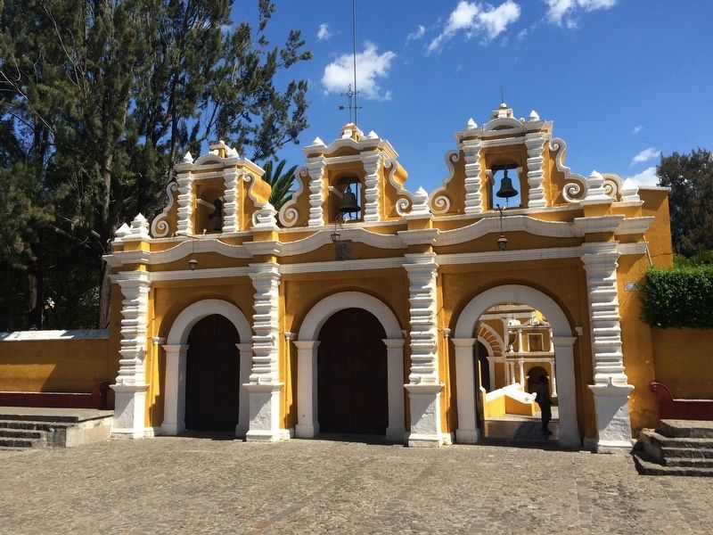
Antigua Guatemala, Sacatepéquez, Guatemala — Central America (Central Highlands)
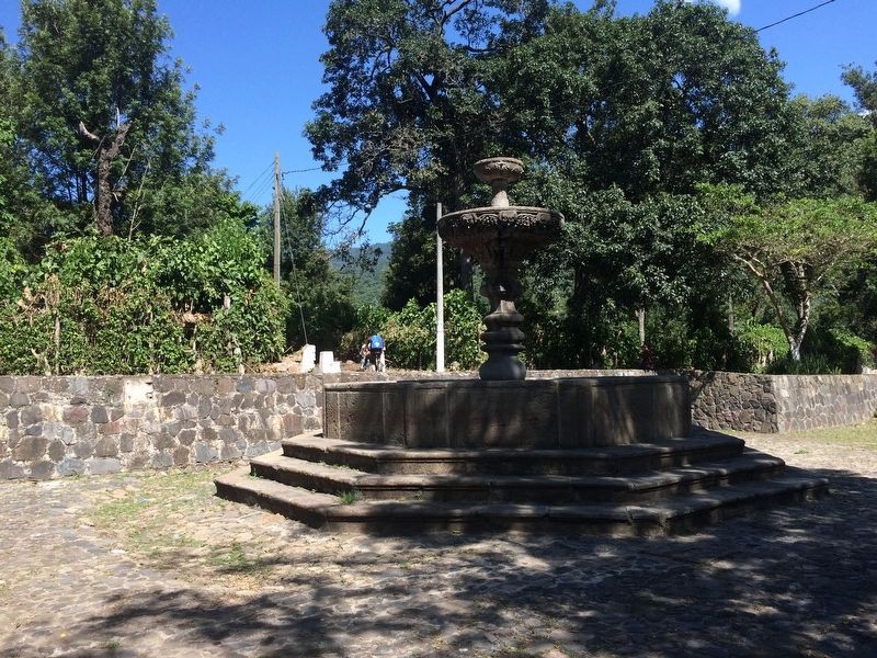
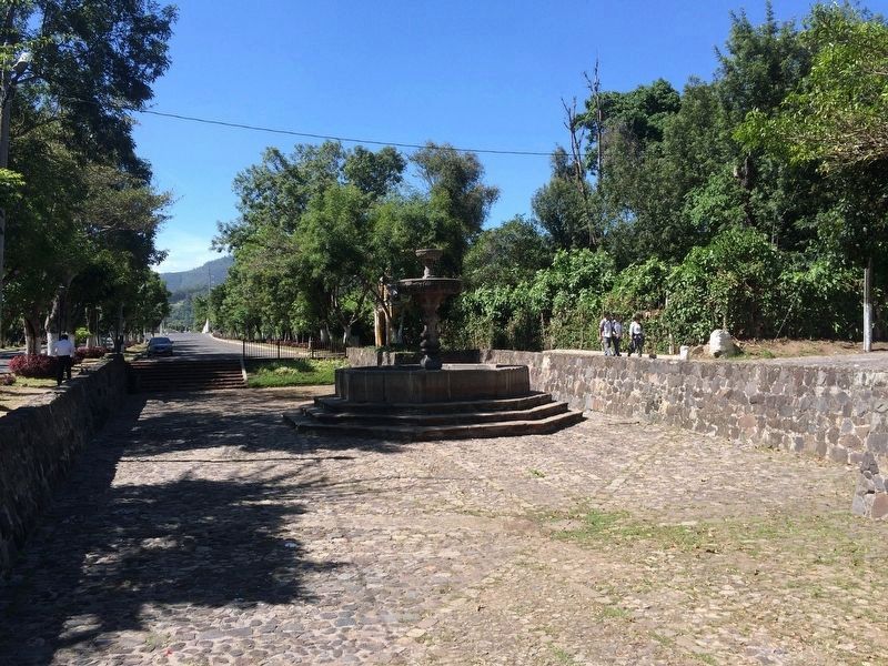
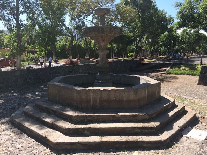
The Fountain of the Calvary
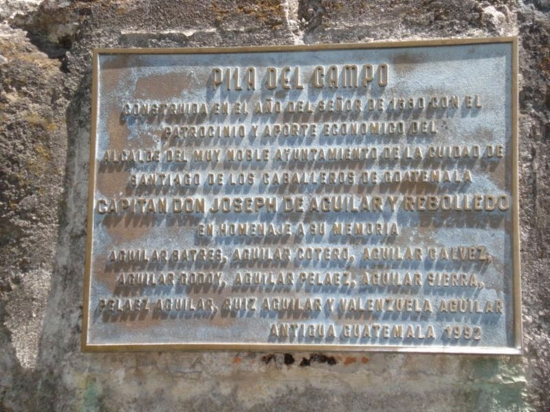
Inscription.
Construida en el año del señor de 1660 con el
Patrocinio y aporte económico del
Alcalde del Muy Noble Ayuntamiento de la Ciudad de
Santiago de los caballeros de Goatemala
Capitan Don Joseph de Aguilar y Rebolledo
En homenaje a su memoria
Aguilar Batres, Aguilar Cotero, Aguilar Galvez,
Aguilar Godoy, Aguilar Pelaez, Aguilar Sierra,
Peleaz Aguilar, Ruiz Aguilar y Valenzuela Aguilar
Antigua Guatemala 1992
Constructed in the year of our Lord 1660, with the patronage and support of the Mayor of the Very Noble Council of the City of the Knights of Santiago of Guatemala
Captain Joseph de Aguilar y Rebolledo
In tribute to his memory:
Aguilar Batres, Aguilar Cotero, Aguilar Galvez, Aguilar Godoy, Aguilar Pelaez, Aguilar Sierra, Peleaz Aguilar, Ruiz Aguilar y Valenzuela Aguilar
La Antigua, Guatemala, 1992
Erected 1992.
Topics. This historical marker is listed in these topic lists: Architecture • Arts, Letters, Music • Charity & Public Work • Colonial Era • Hispanic Americans. A significant historical year for this entry is 1660.
Location. Marker has been reported missing. It was located near 14° 32.832′ N, 90° 43.793′ W. Marker was in Antigua Guatemala, Sacatepéquez. Marker was on Alameda del Calvario, on the left when traveling south. Touch for map. Marker was in this post office area: Antigua Guatemala, Sacatepéquez 03001, Guatemala. Touch for directions.
Other nearby markers. At least 8 other markers are within walking distance of this location. The Hermitage of the Holy Calvary (about 180 meters away, measured in a direct line); Walter Williams in Guatemala (about 210 meters away); Esquisuchil (about 210 meters away); Home of Brother Pedro (approx. half a kilometer away); J. Adrian Coronado y Polanco (approx. half a kilometer away); Catholic Church of Santa Ana (approx. half a kilometer away); Don Rafael V. Alvarez Polanco (approx. 0.6 kilometers away); First Location of Olimpia Leal Normal School (approx. 0.7 kilometers away). Touch for a list and map of all markers in Antigua Guatemala.
Regarding The Fountain of the Calvary.
Captain Joseph Aguilar de Rebolledo was a mayor of what is now known as Antigua Guatemala and the surrounding areas during the late 1600s in Spanish colonial Guatemala. He was also the administrator of various properties owned by Luis Nieto de Silva. It is presumed that this marker was placed by his many descendants in Guatemala, due to the many family names shown in the text. (see Spanish Central America: A Socioeconomic History, 1520–1720, by Murdo J. MacLeod)
Credits. This page was last revised on January 4, 2023. It was originally submitted on August 20, 2017, by J. Makali Bruton of Accra, Ghana. This page has been viewed 316 times since then and 4 times this year. Photos: 1, 2, 3, 4, 5. submitted on August 20, 2017, by J. Makali Bruton of Accra, Ghana.
