Huntington in Baker County, Oregon — The American West (Northwest)
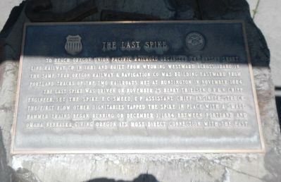
The Last Spike
The Last Spike was driven on November 25. Henry Thielsen, O.R.& N. Chief Engineer, set the spike, E.C. Smeed, U.P. Assistant Chief Engineer, struck the first blow, other dignitaries tapped the spike in place with a small hammer. Trains began running on December 1, 1884, between Portland and Omaha, Nebraska, giving Oregon its most direct connection with the East.
Topics. This historical marker is listed in this topic list: Railroads & Streetcars. A significant historical date for this entry is November 25, 1884.
Location. 44° 21.093′ N, 117° 16.02′ W. Marker is in Huntington, Oregon, in Baker County. Marker is on Washinton Street East (Business U.S. 30) near 1st Street East, on the right when traveling west. Touch for map. Marker is at or near this postal address: 20 Washington Street East, Huntington OR 97907, United States of America. Touch for directions.
Other nearby markers. At least 7 other markers are within 11 miles of this marker, measured as the crow flies. Van Ornum Wagon Train Massacre (here, next to this marker); Van Ornum Massacre (approx. 1.6 miles away); a different marker also named Van Ornum Wagon Train Massacre (approx. 1.6 miles away); Farewell Bend Oregon Trail Kiosk (approx. 3.9 miles away); Farewell Bend (approx. 3.9 miles away); Remnants of the Oregon Trail (approx. 5.9 miles away); Weatherby Oregon Trail Kiosk (approx. 11.1 miles away).
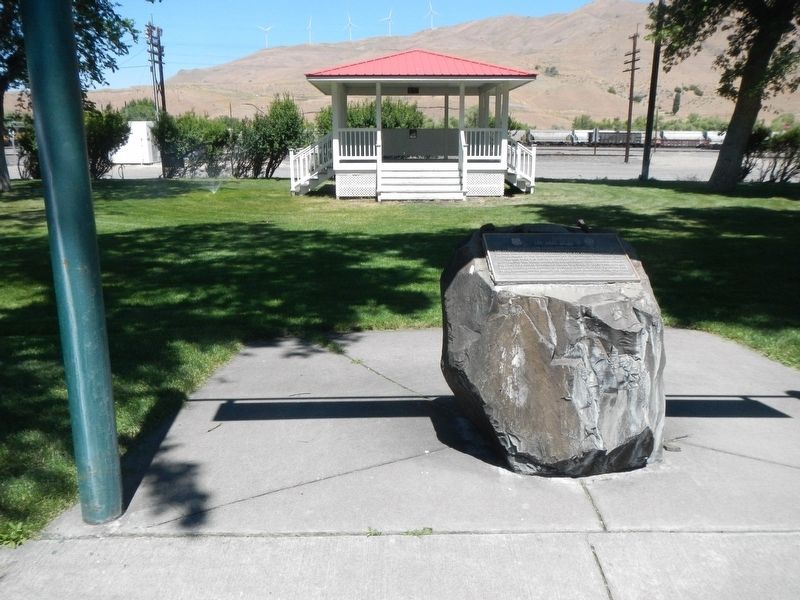
More about this marker. The marker is Lee Stevenson Memorial Lions Park.
Credits. This page was last revised on August 22, 2017. It was originally submitted on August 20, 2017, by Barry Swackhamer of Brentwood, California. This page has been viewed 510 times since then and 40 times this year. Photos: 1, 2. submitted on August 20, 2017, by Barry Swackhamer of Brentwood, California.

