Near Moulton in Lawrence County, Alabama — The American South (East South Central)
Explore the Forest
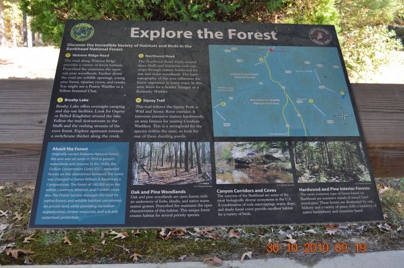
1. Walston Ridge Road
The road along Walston Ridge provides a variety of forest habitats. Prescribed fire maintains the open oak-pine woodlands. Further down the road are wildlife opening, young pine forest, riparian cows, and creeks. You might see a Prairie Warbler or a Yellow-breasted Chat.
2. Bushy Lake
Bushy Lake offers overnight camping and day-use facilities. Look for Osprey or Belted Kingfisher around the lake. Follow the trail downstream to the bluffs and the rushing streams of the cove forest. Explore upstream towards a switchcane thicket along the creek.
3. Northwest Road
The Northwest Road winds around sheer bluffs and limestone rock out-crops through mature hardwood forests and cedar woodlands. The karst topography of this area influences the forest vegetation in many ways. In this area, listen for a Scarlet Tanager or a Kentucky Warbler.
4. Sipsey Trail
This trail follows the Sipsey Fork, a Wild and Scenic River corridor. It traverses extensive mature hardwoods, an area famous for nesting Cerulean Warblers. This is a stronghold for the species within the state, so look for one of these dazzling jewels.
About the Forest
Originally named Alabama National Forest, the area was set aside in 1914 to protect watersheds and streams. In the 1930s, the Civilian Conservation Corps (CCC) replanted forests on this abandoned farmland. The name was changed to honor William B. Bankhead, a Congressman. The forest of 180,000 acres lies within Lawrence, Winston, and Franklin counties. The Forest Service manages the land for native forests and wildlife habitats uncommon on private land, while providing recreation opportunities, timber resources, and soil and watershed protection.
Oak and Pine Woodlands
Oak and pine woodlands are open forests with an understory of forbs, shrubs, and native warm season grasses. Prescribed fire maintains the open characteristics of this habitat. This unique forest creates habitat for several priority species.
Canyons Corridors and Coves
The canyons of the Bankhead are some of the most biologically diverse ecosystems in the U. S. A combination of rock outcroppings, water, slope, and shady forest cover provide excellent habitat for a variety of birds.
Hardwood and Pine Interior Forests
The most common type of forest found on Bankhead are extensive stands of mixed hard-wood-pine. These forests are dominated by oak, hickory, and a variety of pines, with a mid story of native huckleberry and mountain laurel.
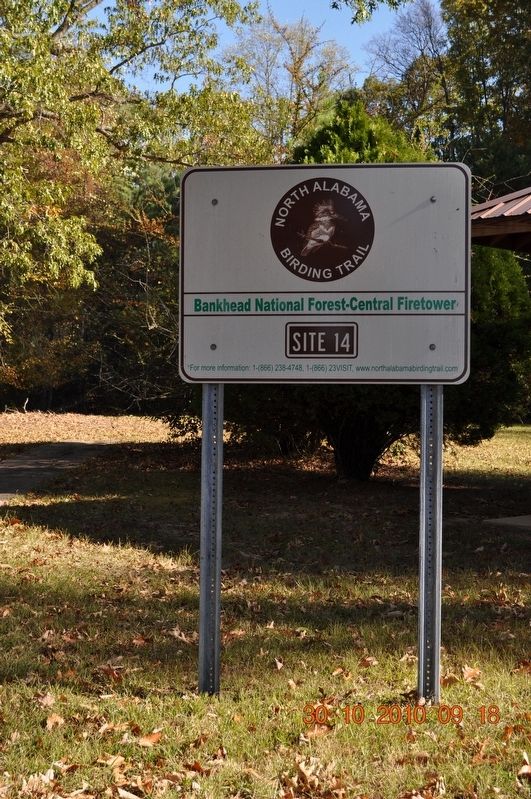
Erected by Alabama Wildlife & Freshwater Fisheries North Alabama Birding Trail.
Topics. This historical marker is listed in these topic lists: Animals • Environment • Horticulture & Forestry.
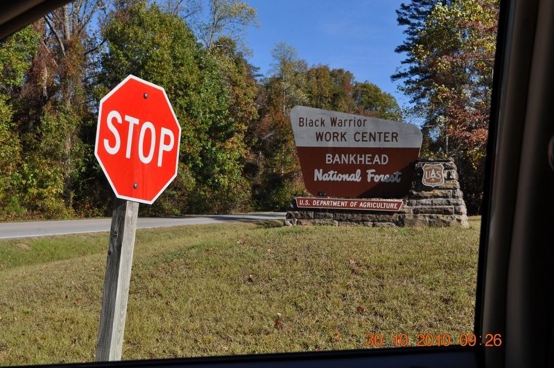
Location. 34° 20.746′ N, 87° 20.297′ W. Marker is near Moulton, Alabama, in Lawrence County. Marker can be reached from Alabama Route 33, 0.2 miles south of County Route 67, on the left when traveling south. Located in the Bankhead National Forest at the Black Warrior Work Center. Touch for map. Marker is in this post office area: Moulton AL 35650, United States of America. Touch for directions.
Other nearby markers. At least 8 other markers are within 10 miles of this marker, measured as the crow flies. A Significant Forest (here, next to this marker); Birds of North Alabama (here, next to this marker); Warrior Mountains (about 400 feet away, measured in a direct line); Pine Torch Church (approx. 2.8 miles away); High Town Path (approx. 4.9 miles away); Cheatham Road (approx. 5.4 miles away); Moulton Negro High School (approx. 9.3 miles away); General Leroy Pope Walker (approx. 9.4 miles away). Touch for a list and map of all markers in Moulton.
Credits. This page was last revised on August 23, 2017. It was originally submitted on August 20, 2017, by Sandra Hughes Tidwell of Killen, Alabama, USA. This page has been viewed 367 times since then and 35 times this year. Photos: 1, 2, 3, 4. submitted on August 20, 2017, by Sandra Hughes Tidwell of Killen, Alabama, USA. • Bernard Fisher was the editor who published this page.


