Plymouth in Plymouth County, Massachusetts — The American Northeast (New England)
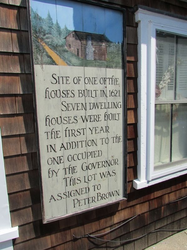
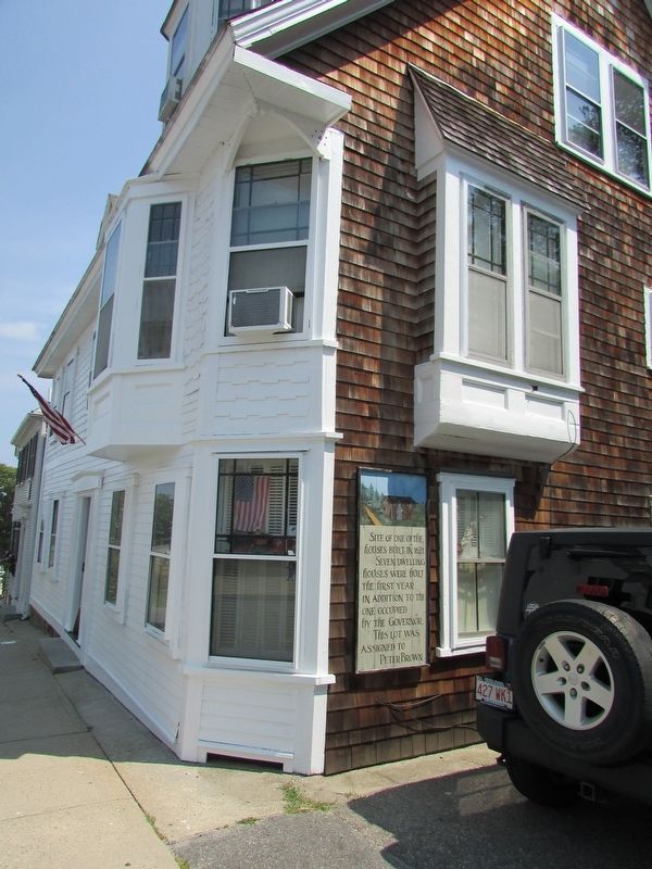
Site of an 1621 House
Site of one of the houses built in 1621. Seven dwelling houses were built the first year in addition to the one occupied by the Governor. This lot was assigned to Peter Brown.
Topics. This historical marker is listed in these topic lists: Colonial Era • Settlements & Settlers.
Location. 41° 57.367′ N, 70° 39.791′ W. Marker is in Plymouth, Massachusetts, in Plymouth County. Marker is on Leyden Street, on the right when traveling east. Touch for map. Marker is at or near this postal address: 25 Leyden Street, Plymouth MA 02360, United States of America. Touch for directions.
Other nearby markers. At least 8 other markers are within walking distance of this marker. Dr. Samuel Fuller (a few steps from this marker); The Common House (a few steps from this marker); Capt. James Bartlett House (a few steps from this marker); On This Lot (within shouting distance of this marker); First House Built by the Pilgrims (within shouting distance of this marker); House of Isaac Doten (within shouting distance of this marker); Joseph Tribble House (within shouting distance of this marker); America’s First Street (within shouting distance of this marker). Touch for a list and map of all markers in Plymouth.
Credits. This page was last revised on August 25, 2017. It was originally submitted on August 25, 2017, by Bill Coughlin of Woodland Park, New Jersey. This page has been viewed 489 times since then and 40 times this year. Photos: 1, 2, 3. submitted on August 25, 2017, by Bill Coughlin of Woodland Park, New Jersey.


