Greene in Coventry in Kent County, Rhode Island — The American Northeast (New England)
Summit
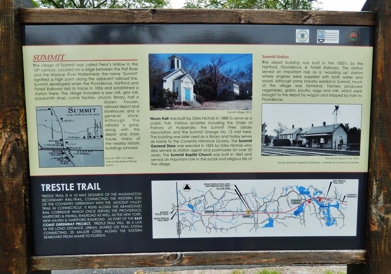
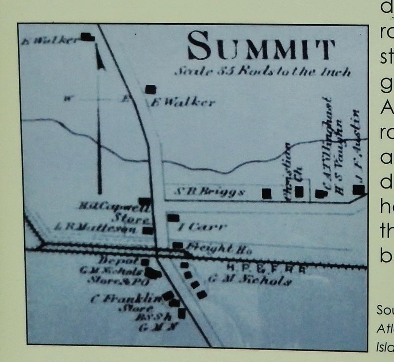
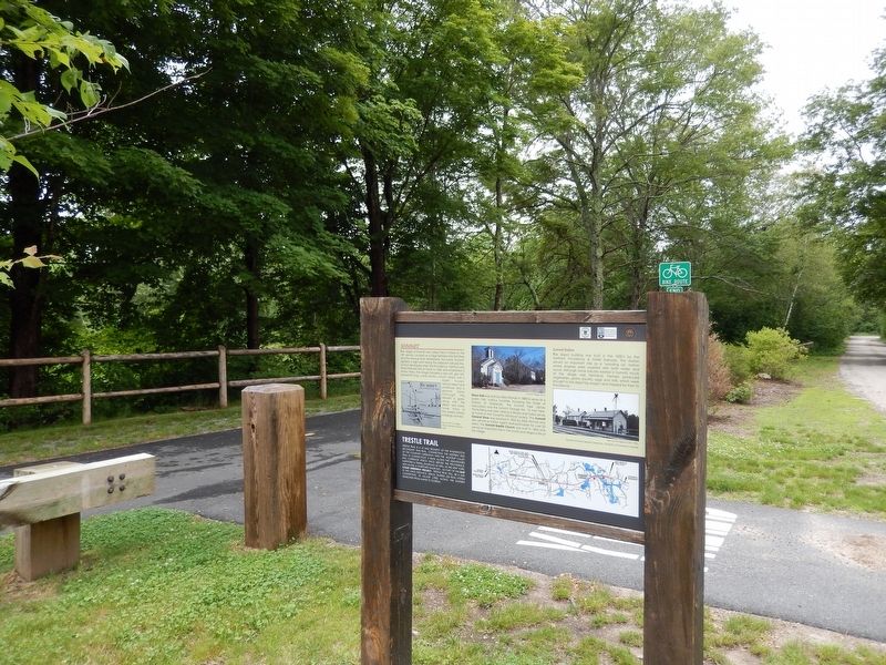
The village of Summit was called Perry’s Hollow in the 18th century. Located on a ridge between the Flat River and the Moosup River Watersheds, the name “Summit” signified a high point along the adjacent railroad line. Summit developed when the Providence, Hartford and Fishkill Railroad laid its tracks in 1856 and established a station there. The village included a saw mill, grist mill, blacksmith shop, comb factory, church, library, half a dozen houses, railroad depot and storehouse and a general store. Although the railroad is gone, along with the depot and storehouse, many of the nearby historic buildings survived.
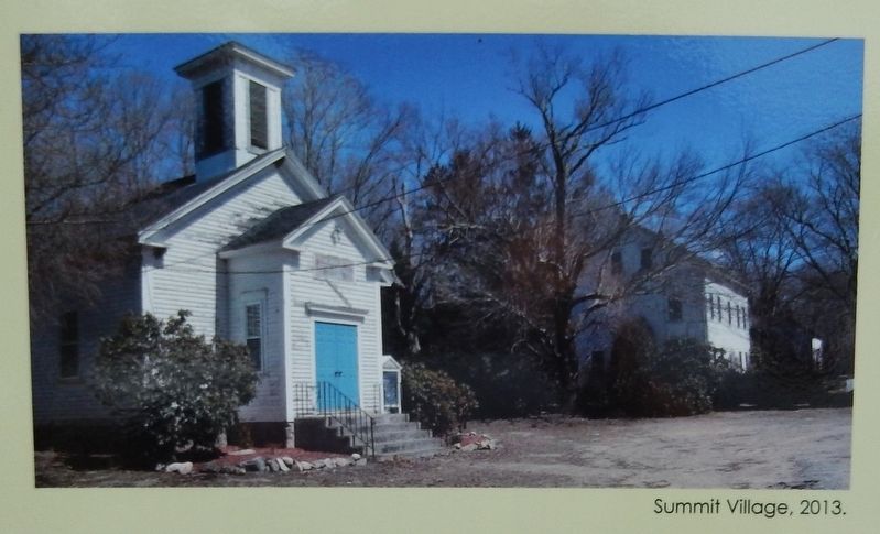
Nixon Hall was built by Giles Nichols in 1888 to serve as a public hall. Various societies including the Order of Patrons of Husbandry, the Summit Free Library Association and the Summit Grange No. 15 met here. The building was later used as a library and today serves as home to the Coventry Historical Society. The Summit General Store was erected in 1885 by Giles Nichols who also served as station agent and postmaster for over 20 years. The Summit Baptist Church was built in 1865 and served an important role in the social and religious life of the village.
Summit Station
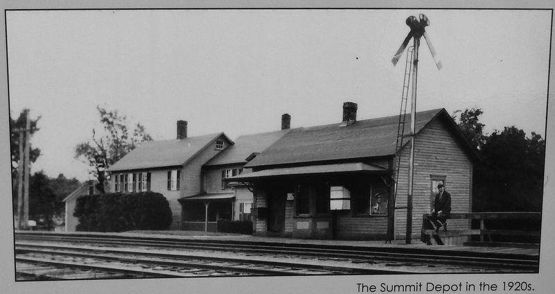
The depot building was built in the 1850’s by the Hartford, Providence & Fishkill Railroad. The station served an important role as a “wooding up” station where engines were supplied with both water and wood. Although some industry existed in Summit, much of the village was farmland. Farmers produced vegetables, grains, poultry, eggs and milk, which were brought to the depot by wagon and shipped by train to Providence.
Trestle Trail
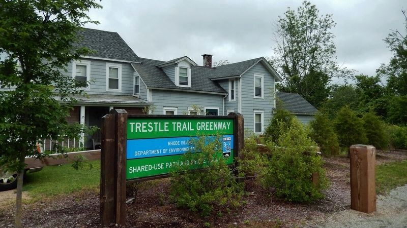
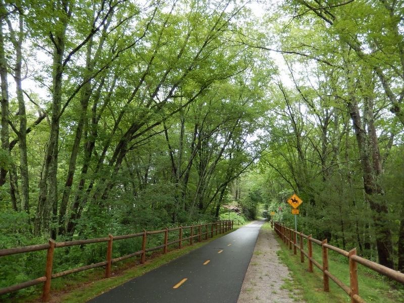
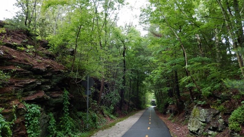
Trestle Trail is a 10 mile segment of the Washington Secondary Rail-Trail, connecting the western end of the Coventry Greenway with the Moosup Valley Trail in Connecticut. It runs along the abandoned rail corridor which once served the Providence, Hartford & Fishkill Railroad as well as the New York, New Haven & Hartford Railroad. As part of the East Coast Greenway Project, Trestle Trail will be a link in the long distance, urban, shared use trail system connecting 25 major cities along the eastern Seaboard from Maine to Florida.
Topics. This historical marker is listed in these topic lists: Industry & Commerce • Railroads & Streetcars • Settlements & Settlers.
Location. 41° 41.444′ N, 71° 41.978′ W. Marker is in Coventry, Rhode Island, in Kent County. It is in Greene. Marker is at the intersection of Railroad Street and Log Bridge Road, on the left when traveling west on Railroad Street. Marker
is located alongside the Trestle Trail rail trail, near the trail parking lot on Railroad Street and Log Bridge Road. Touch for map. Marker is at or near this postal address: 6 Railroad St, Greene RI 02827, United States of America. Touch for directions.
Other nearby markers. At least 8 other markers are within 6 miles of this marker, measured as the crow flies. Waterman Tavern (approx. 2.8 miles away); Sterling (approx. 5˝ miles away in Connecticut); United States Finishing Company World War I Memorial (approx. 5˝ miles away in Connecticut); Honor Roll Saint Joseph’s Church (approx. 5˝ miles away in Connecticut); Sterling Veterans Memorial Park (approx. 5˝ miles away in Connecticut); Major Edouard J. Jacques (approx. 5.6 miles away); Liberty Tree Memorial (approx. 5.6 miles away); Coventry War Memorial (approx. 5.6 miles away). Touch for a list and map of all markers in Coventry.
Also see . . .
1. Coventry, Rhode Island.
In the 19th century, the Industrial Revolution came to Coventry with the building of the first mill in Anthony. Over the next century, the eastern end of town became very industrialized, with manufacturing centers being located in Anthony, Washington, Quidnick, and Harris villages. By comparison, the western end of the town remained very rural, with the only centers of population being located at Greene and Summit, both established as railroad stations on the New York, New Haven and Hartford Railroad. General Nathanael Greene Homestead pictured in 1902 In the 20th century, the Town went through much change. The advent of the automobile brought an end of the railroad. (This track was dismantled in the 1970s, and in the early 21st century, the right of way was revitalized as the Washington Secondary Rail Trail/Greenway). (Submitted on August 25, 2017, by Cosmos Mariner of Cape Canaveral, Florida.)
2. New York, New Haven and Hartford Railroad Company.
It was built up from about 125 small railroads, the earliest of which began operation in 1834 as the Hartford and New Haven Railroad. In 1872 the New York and New Haven Railroad Company joined with the Hartford and New Haven to form the New York, New Haven and Hartford. Eventually it had 1,800 miles (2,900 km) of main track. (Submitted on August 25, 2017, by Cosmos Mariner of Cape Canaveral, Florida.)
3. Summit, Rhode Island.
Summit developed as a railroad village near Greene, Rhode Island with "half-dozen white clapboard houses [which] center around a church, a library, and a store." The original Summit Baptist Church building was constructed in 1862 and served the congregation until a new building was constructed nearby in 2001. The Coventry Historical Society now owns the old church building and maintains exhibits at the nearby Summit library. The Summit General Store, dating to 1888, is still in business.[ (Submitted on August 25, 2017, by Cosmos Mariner of Cape Canaveral, Florida.)
Credits. This page was last revised on May 8, 2023. It was originally submitted on August 25, 2017, by Cosmos Mariner of Cape Canaveral, Florida. This page has been viewed 695 times since then and 47 times this year. Photos: 1, 2, 3, 4, 5, 6. submitted on August 25, 2017, by Cosmos Mariner of Cape Canaveral, Florida. 7, 8, 9. submitted on August 30, 2017, by Cosmos Mariner of Cape Canaveral, Florida. • Bill Pfingsten was the editor who published this page.
