Near Fort Oglethorpe in Walker County, Georgia — The American South (South Atlantic)
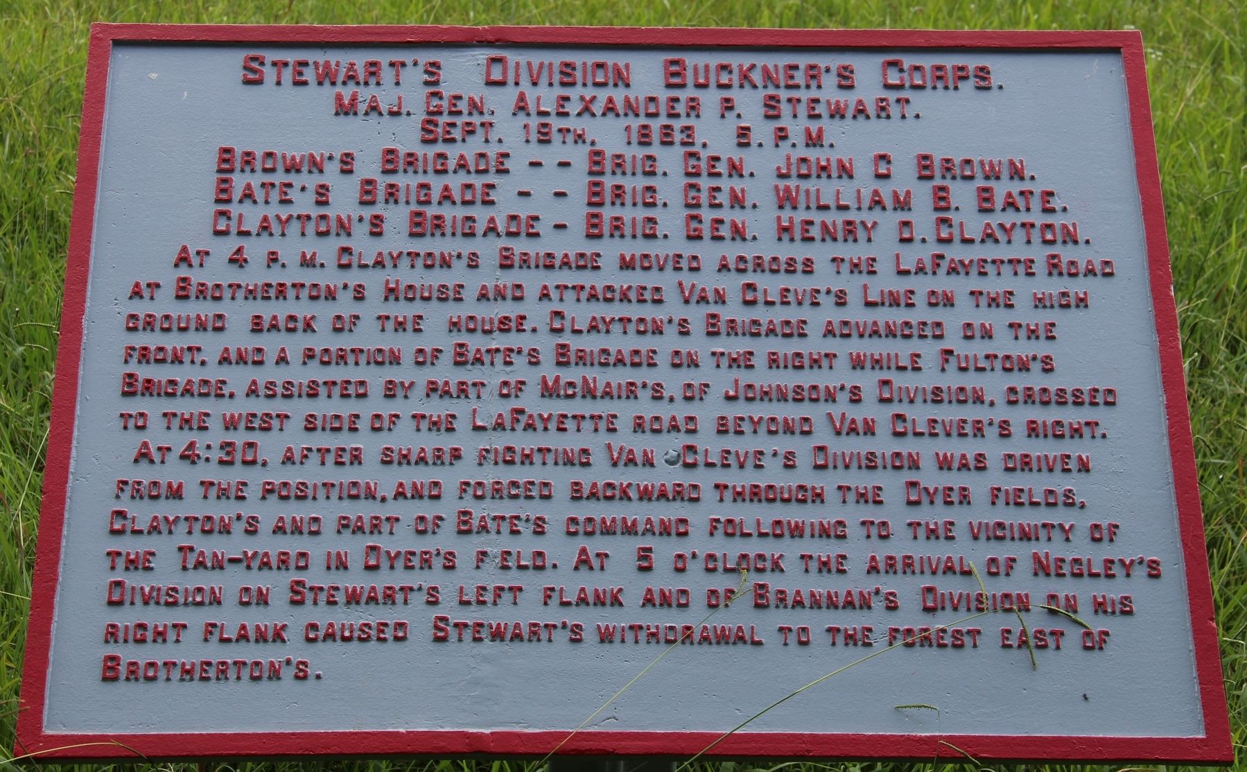
Stewart's Division
Buckner's Corps
— Major General Alexander P. Stewart —
Major General Alexander P. Stewart.
September 19th, 1863, 5 p.m.
Brown's Brigade -- Brigadier General John C. Brown
Bate's Brigade -- Brigadier General William B. Bate.
Clayton's Brigade -- Brigadier General Henry D. Clayton.
At 4 p.m. Clayton's Brigade moved across the LaFayette Road at Brotherton's House and attacked Van Cleve's line on the high ground back of the house. Clayton's Brigade advanced on the front, and a portion of Bate's Brigade on the right while Fulton's Brigade, assisted by part of McNair's, of Johnson's Division crossed to the west side of the LaFayette road beyond Van Cleve's right.
At 4:30, after sharp fighting Van Cleve's Division was driven from the position, and forced backward through the Dyer fields. Clayton's and part of Bate's command following to the vicinity of the Tan-yard in Dyer's field. At 5 o'clock the arrival of Negley's Division on Stewart's left flank and of Brannan's Division on his right flank caused Stewart's withdrawal to the forest east of Brotherton's.
Erected 1890 by the Chickamauga and Chattanooga National Military Park Commission. (Marker Number MT-1116.)
Topics. This historical marker is listed in this topic list: War, US Civil . A significant historical date for this entry is September 19, 1863.
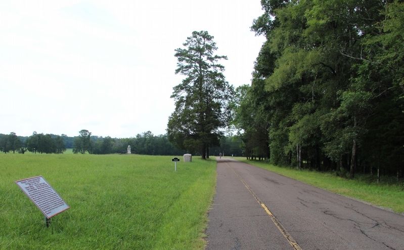
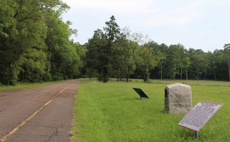
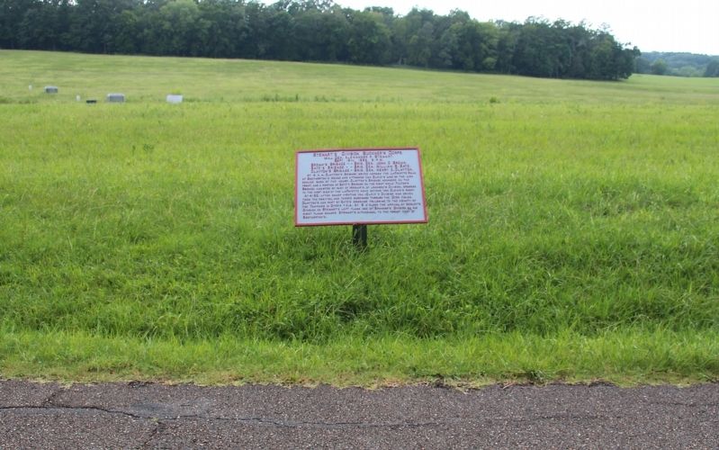
Location. 34° 54.856′ N, 85° 15.963′ W. Marker is near Fort Oglethorpe, Georgia, in Walker County. Marker is on Glenn-Kelly Road east of Vittetoe-Chickamauga Road, on the left when traveling north. This tablet is located a short distance off the west side of the roadway, in a large open field. Touch for map. Marker is in this post office area: Fort Oglethorpe GA 30742, United States of America. Touch for directions.
Other nearby markers. At least 8 other markers are within walking distance of this marker. 42nd Indiana Infantry (here, next to this marker); J. Beatty's Brigade (a few steps from this marker); 88th Indiana Infantry (within shouting distance of this marker); Clayton's Brigade (within shouting distance of this marker); Negley's Division (within shouting distance of this marker); 104th Illinois Infantry (within shouting distance of this marker); Laiboldt's Brigade (about 300 feet away, measured in a direct line); 73rd Illinois Infantry (about 300 feet away). Touch for a list and map of all markers in Fort Oglethorpe.
More about this marker. In locating this tablet I used the "Chickamauga Battlefield" map, that I purchased at the Chickamauga and Chattanooga National Military Park, Visitor Center, to determine both the marker number for this tablet and the tablet's location in relation to the rest of the park's monuments, markers, and tablets. According to the
map it provides the, "numerical listing of all monuments, markers, and tablets on the Chickamauga Battlefield (using the Chick-Chatt NMP Monument Numbering System).”
Credits. This page was last revised on August 28, 2017. It was originally submitted on August 25, 2017, by Dale K. Benington of Toledo, Ohio. This page has been viewed 149 times since then and 5 times this year. Photos: 1, 2, 3, 4. submitted on August 26, 2017, by Dale K. Benington of Toledo, Ohio.


