Plymouth in Plymouth County, Massachusetts — The American Northeast (New England)
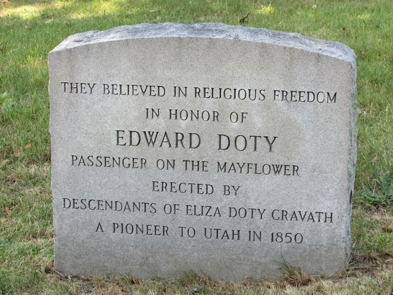
Edward Doty
in honor of
Edward Doty
Passenger on the Mayflower
Erected by
Descendants of Eliza Doty Gravath
A pioneer to Utah in 1850
Topics. This historical marker is listed in these topic lists: Colonial Era • Settlements & Settlers.
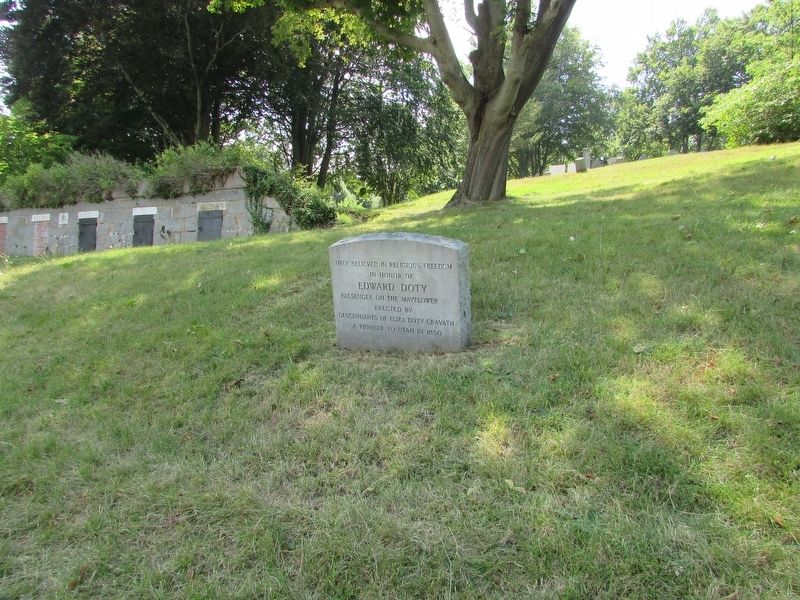
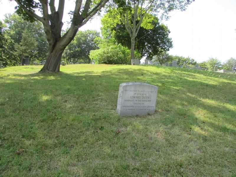
Location. 41° 57.351′ N, 70° 39.908′ W. Marker is in Plymouth, Massachusetts, in Plymouth County. Marker is on School Street, on the left when traveling north. Marker is located in the Burial Hill cemetery. Touch for map. Marker is in this post office area: Plymouth MA 02360, United States of America. Touch for directions.
Other nearby markers. At least 8 other markers are within walking distance of this marker. Elder William Brewster (here, next to this marker); John Alden (here, next to this marker); Alexander Scammell (a few steps from this marker); Burial Hill (within shouting distance of this marker); Unitarian Controversy of 1801 (within shouting distance of this marker); The Church of Scrooby Leyden and the Mayflower (within shouting distance of this marker); Metacomet (King Philip) (within shouting distance of this marker); The Town House of Plymouth (within shouting distance of this marker). Touch for a list and map of all markers in Plymouth.
Credits. This page was last revised on June 17, 2020. It was originally submitted on August 27, 2017, by Bill Coughlin of Woodland Park, New Jersey. This page has been viewed 725 times since then and 55 times this year. Photos: 1, 2, 3. submitted on August 27, 2017, by Bill Coughlin of Woodland Park, New Jersey.


