Explosive Geology
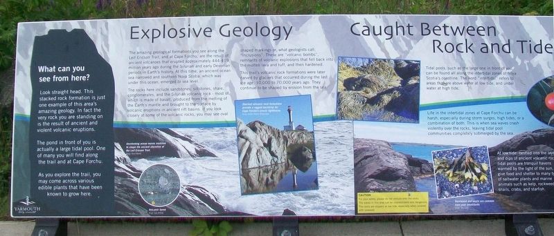
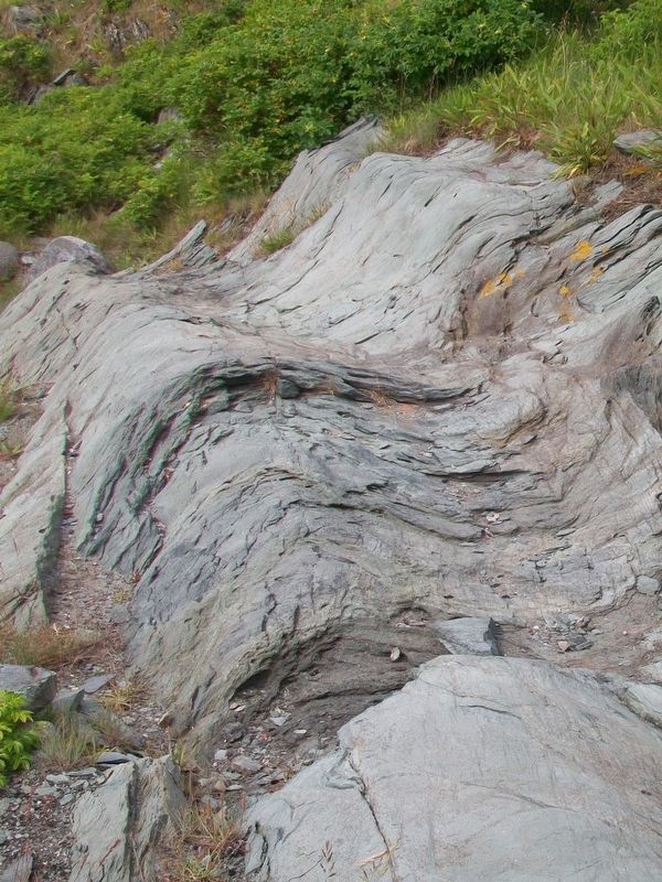
The amazing geological formations you see along the Leif Ericson Trail, and at Cape Forchu, are the result of ancient volcanoes that erupted approximately 444-429 million years ago during the Silurian and early Devonian periods in Earth's history. At this time, an ancient ocean sea narrowed and southern Nova Scotia, which was under this ocean, emerged to sea level.
The rocks here include sandstones, siltstones, shale, conglomerates, and the Silurian volcanic rock - most of which is made of basalt, produced from the melting of the Earth's mantle and brought to the surface by volcanic eruptions in ancient rift basins. If you look closely at some of the volcanic rocks, you may see oval shaped markings or, what geologists call, "inclusions". These are "volcanic bombs", remnants of volcanic explosions that fell back into the molten lava and tuff, and then hardened.
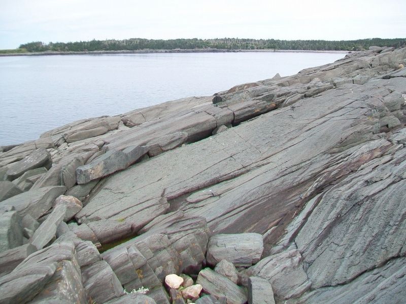
This trail's volcanic rock formations were later carved by glaciers that occurred during the last ice age, 10,000 to 70,000 years ago. They continue to be shaped by erosion from the sea.
[Photo captions read]
• Unrelenting ocean waves continue to shape the ancient shoreline of the Leif Ericson Trail.
• Volcanic bomb
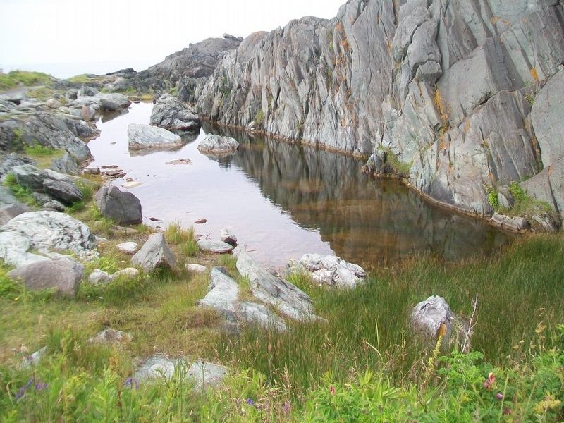
• Stacked volcanic rock formations provide a rugged backdrop for Cape Forchu's scenic lighthouse.
What can you see from
here?
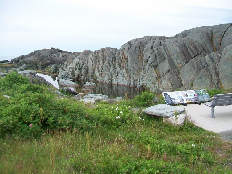
Look straight ahead. This stacked rock formation is just one example of this area's amazing geology. In fact the very rock you are standing on is the result of ancient and violent volcanic eruptions.
The pond in front of you is actually a large tidal pool. One of many you will find along the trail and at Cape Forchu.
As you explore the trail, you may come across various edible plants that have been known to grow here.
Caught Between Rock and Tide
[Factual but not historic tidal pool information is not transcribed]
Incredible Edibles
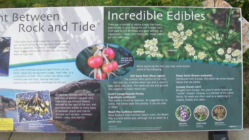
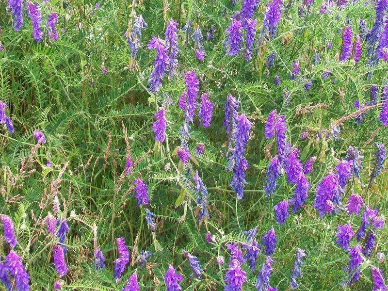
There are a number of edible plants that have been known to grow along the Leif Ericson trail. First used by the Mi'kmaq and early settlers, as ingredients in foods and medicines, these plants are still used today.
While exploring the trail, you may come across some of the following:
Salt Spray Rose (Rosa rugosa)
The outside flesh portion of the fruit, the rose hip, is edible when ripe and is used in teas, wine, and jams. The seeds are are [sic] also ground into powders to make medicines.
Scotch Lovage/Seaside Parsley (Ligusticum scothicum)
This plant is found on beaches. As suggested by its name, the leaves taste like parsley. It can be used in stews.
Beach Pea (Lathyrus martimus)
Nova Scotia's most common beach plant, the Beach pea is a wild
Sheep Sorrel (Rumex acetosella)
Introduced from Europe, this plant has arrow shaped leaves that are edible.
Caraway (Carum carvil)
Brought from Europe, this plant's white flowers are "umble" shaped. Caraway is a member of the carrot family. Its seeds are often used as a seasoning in cheese, breads and cakes.
A Note to Visitors
For your own safety, and in order to help preserve and protect this scenic trail for the enjoyment of all visitors and future generations, please do not pick, remove, damage, or consume, any of the plants growing along the trail.
Erected by Municipality of the District of Yarmouth.
Topics. This historical marker is listed in this topic list: Natural Features.
Location. 43° 47.567′ N, 66° 9.317′ W. Marker is in Cape Forchu, Nova Scotia, in Yarmouth County. Marker is along Cape Forchu Lightstation's Leif Ericson Trail. Touch for map. Marker is at or near this postal address: 1856 Nova Scotia Route 304, Cape Forchu NS B5A 4A7, Canada. Touch for directions.
Other nearby markers. At least 8 other markers are within walking distance of this marker. Pieces of the Past (within shouting distance of this marker); Harbour of Deception (within shouting distance of this marker); Cheboque (within shouting distance of this marker); Welcome to the Leif Ericson Trail
Also see . . .
1. 44 Geologically Significant Nova Scotia Sites. Bay of Fundy entry (Submitted on August 27, 2017, by William Fischer, Jr. of Scranton, Pennsylvania.)
2. Cape Forchu: A Light Like No Other. Cape Forchu Website (Submitted on August 27, 2017, by William Fischer, Jr. of Scranton, Pennsylvania.)
3. 2009 Progress Report on the Annapolis Valley Region Stone Resource Project. (Submitted on August 27, 2017, by William Fischer, Jr. of Scranton, Pennsylvania.)
Credits. This page was last revised on March 13, 2021. It was originally submitted on August 27, 2017, by William Fischer, Jr. of Scranton, Pennsylvania. This page has been viewed 467 times since then and 48 times this year. Photos: 1, 2, 3, 4, 5, 6, 7. submitted on August 27, 2017, by William Fischer, Jr. of Scranton, Pennsylvania.
