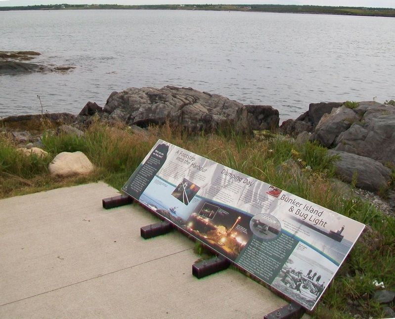
A Footstep into the Harbour
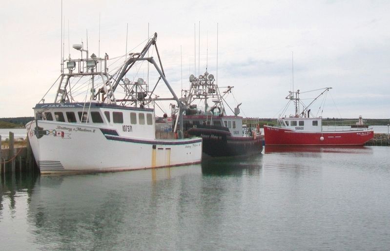
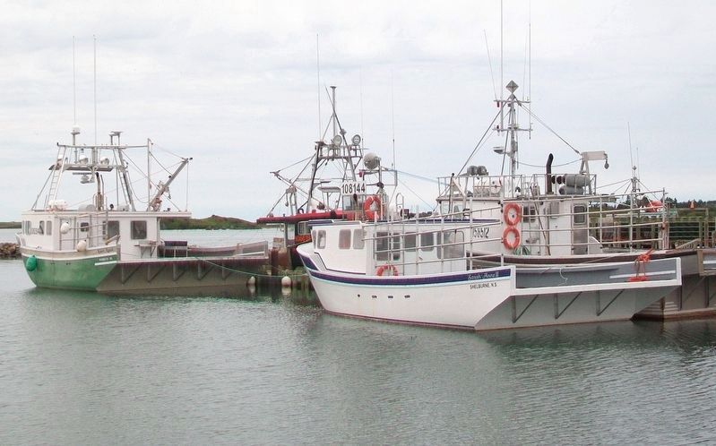
The Southwestern shore of Nova Scotia, including Yarmouth County, is home to one of Canada's largest fisheries. For over two hundred years, fishing boats have sailed past this point, as well as from other ports in this region, to fish groundfish, haddock, mackerel, tuna, and swordfish. Today our region is responsible for a huge catch that includes over forty species of fish. Throughout the year, you will see scallop draggers, herring seiners, swordfish boats, and lobster boats, round this very point.
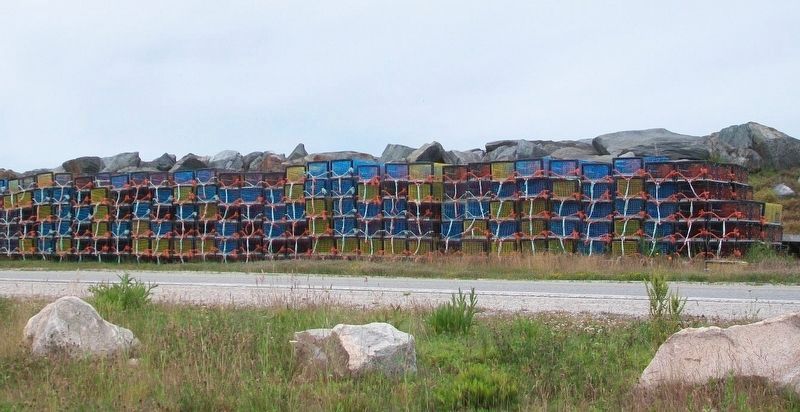
The main catch for our region is lobster, which makes perfect sense when you are located in the heart of the World's richest lobster fishing grounds!
[Photo captions read}
• A seiner fishing boat approaches Yarmouth Harbour. Green Island (part of the Tusket Islands chain) and its lighthouse, can be seen to the left of the boat.
• Yarmouth fishermen haul lobster traps from the ocean.
Dumping Day
The last Monday of November marks the official start of Southwestern Nova Scotia's six-month lobster fishing season. This is the time when lobster fishermen from Yarmouth County and all along the Southwestern shore set out in their lobster boats, to "dump" their lobster traps into the sea.
In the early, dark hours of Dumping Day, entire communities, including nearby Yarmouth Bar, line the shore to
see the fishermen off. A blessing of the fleet is recited before the brightly lit lobster boats leave the harbour in a colourful, parade-like procession.Dumping Day is an important and meaningful tradition for many fishing communities throughout Yarmouth County, as lobster fishing is a vital economic mainstay for this region. Also (as with all fishing) lobster fishing is a dangerous job as fishermen risk their lives to bring Nova Scotians, and people all over the world, this delicious and much loved local delicacy.
[Photo captions read]
• Lobster boats loaded with traps and gear at Yarmouth Bar on Dumping Day.
• Brightly lit lobster boats pass Cape Forchu Lighthouse before heading out to sea on Dumping Day.
Bunker Island & Bug Light
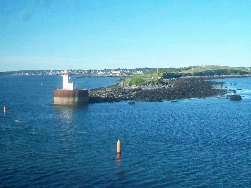
Beginning with the War of 1812, Bunker Island was used as a defensive site, complete with an artillery battery, to protect the harbour and town. In the latter part of the nineteenth century, Bunker Island was also home to a Marine Hospital and quarantine station for contagious diseases. A few lonely gravestones still stand on the island as a sad reminder.
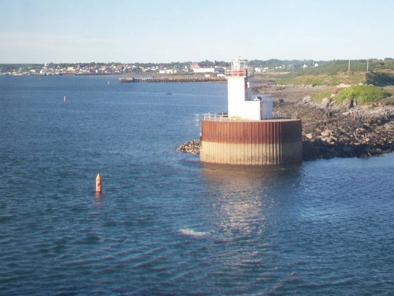
Three lighthouses have stood at the southwestern tip of Bunker Island. The first lighthouse, built in 1874, was a tapered square, wood tower. It was replaced in 1925 by a wooden tower on a dwelling, which was home to light keeper Jules Cottreau, his wife,
and their six children, from 1930 to 1959. Today's lighthouse was built in 1959 as a simple concrete tower on an engine room. Automated since 1981, Bug Light's fixed red light continues to welcome and guide vessels into the entrance of Yarmouth Harbour.
Photo captions read
• Postcard, dated 1909, depicts the first Bunker Island light, built in 1874.
• Bunker Island, and its lighthouse Bug Light, has been an important fixture in Yarmouth Harbour for many years.
• Gun drill at Bunker Island, c.1895.
What can you see from here?
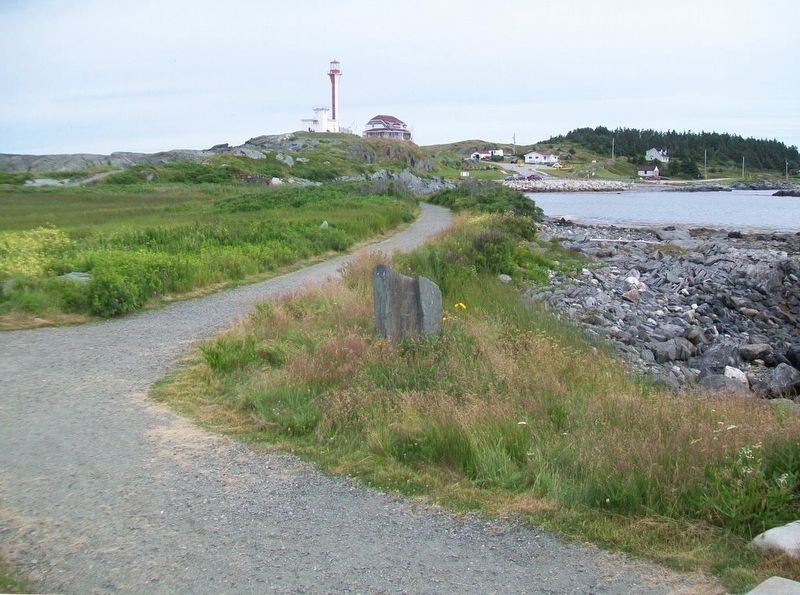
You are standing on the most southern point of the Leif Ericson Trail and Cape Forchu.
Look straight ahead. You may see fishing vessels such as lobster boats, and herring seiners round this very point as they head to, and from, their fishing grounds.
Look up Yarmouth Harbour, to your extreme left. Catch a glimpse of Bunker Island and, at its southwest tip, Beacon Light, also known as "Bug Light". You will also see two large oil tanks located at the center of the island.
Erected by Municipality of the District of Yarmouth.
Topics and series. This historical marker is listed in these topic lists: Environment • Industry & Commerce • Man-Made Features
Location. 43° 47.507′ N, 66° 9.234′ W. Marker is in Cape Forchu, Nova Scotia, in Yarmouth County. Marker is along Cape Forchu Lightstation's Leif Ericson Trail. Touch for map. Marker is at or near this postal address: 1856 Nova Scotia Route 304, Cape Forchu NS B5A 4A7, Canada. Touch for directions.
Other nearby markers. At least 8 other markers are within walking distance of this marker. The Tusket Islands (about 90 meters away, measured in a direct line); Harbour of Deception (about 120 meters away); Cheboque (about 120 meters away); Pieces of the Past (about 150 meters away); Explosive Geology (about 150 meters away); Welcome to the Leif Ericson Trail (about 240 meters away); A Diverse Fishery (approx. 0.3 kilometers away); Cape Forchu's Guiding Light (approx. 0.3 kilometers away). Touch for a list and map of all markers in Cape Forchu.
Also see . . .
1. Southwest Nova Scotia Lobster by Trap Info. This Fish entry (Submitted on August 29, 2017, by William Fischer, Jr. of Scranton, Pennsylvania.)
2. Lobster Fishery in Southwest Nova Scotia. This Fish Youtube video (2m 16s) (Submitted on August 29, 2017, by William Fischer, Jr. of Scranton, Pennsylvania.)
3. Georges Bank. The Canadian Encyclopedia entry (Submitted on August 29, 2017, by William Fischer, Jr. of Scranton, Pennsylvania.)
4. Cape Forchu: A Light Like No Other. Lighthouse Website homepage (Submitted on August 29, 2017, by William Fischer, Jr. of Scranton, Pennsylvania.)
Credits. This page was last revised on October 12, 2021. It was originally submitted on August 29, 2017, by William Fischer, Jr. of Scranton, Pennsylvania. This page has been viewed 586 times since then and 33 times this year. Photos: 1, 2, 3, 4, 5, 6, 7, 8. submitted on August 29, 2017, by William Fischer, Jr. of Scranton, Pennsylvania.

