Near Kenbridge in Lunenburg County, Virginia — The American South (Mid-Atlantic)
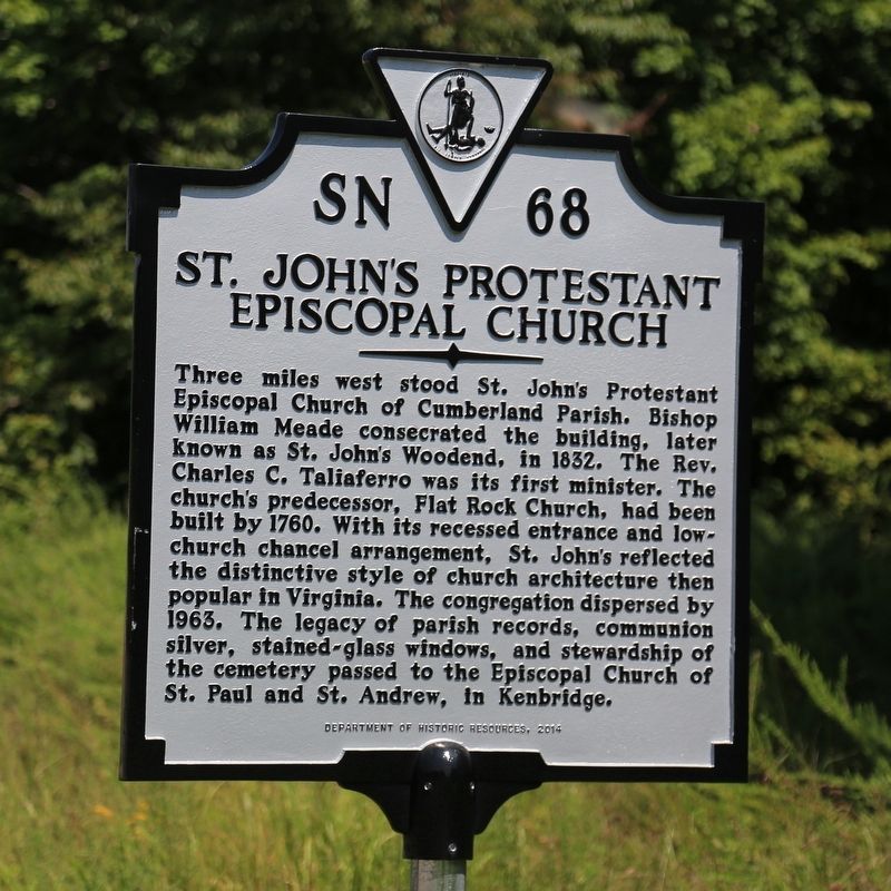
St. Johnís Protestant Episcopal Church
Erected 2014 by Department of Historic Resources. (Marker Number SN-68.)
Topics and series. This historical marker is listed in this topic list: Churches & Religion. In addition, it is included in the Virginia Department of Historic Resources (DHR) series list. A significant historical year for this entry is 1832.
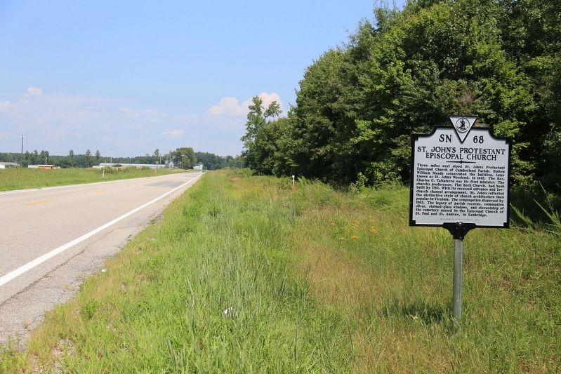
Location. 36° 52.746′ N, 78° 4.995′ W. Marker is near Kenbridge, Virginia, in Lunenburg County. Marker is at the intersection of South Hill Road (Virginia Route 138) and Brickland Road (County Route 613), on the left when traveling south on South Hill Road. Touch for map. Marker is in this post office area: Kenbridge VA 23944, United States of America. Touch for directions.
Other nearby markers. At least 8 other markers are within 8 miles of this marker, measured as the crow flies. St. Johnís Church (approx. 6 miles away); Craig's Mill (approx. 6.1 miles away); Town of Kenbridge (approx. 6.1 miles away); Kennedy's Store ca. 1908 (approx. 6.2 miles away); Danieltown (approx. 7 miles away); The Glebe of Cumberland Parish (approx. 7.6 miles away); Saint Paulís Chapel School (approx. 7.8 miles away); Brunswick County / Mecklenburg County (approx. 8 miles away). Touch for a list and map of all markers in Kenbridge.
Credits. This page was last revised on August 30, 2017. It was originally submitted on August 30, 2017, by J. J. Prats of Powell, Ohio. This page has been viewed 217 times since then and 15 times this year. Photos: 1, 2. submitted on August 30, 2017, by J. J. Prats of Powell, Ohio.
Editor’s want-list for this marker. Old photos of the church • Photos of the cemetery • Photos of the stained glass windows, now at the Kenbridge parish hall • Can you help?

