Cape Girardeau in Cape Girardeau County, Missouri — The American Midwest (Upper Plains)
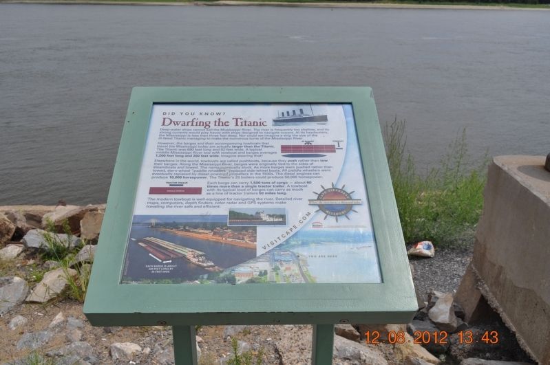
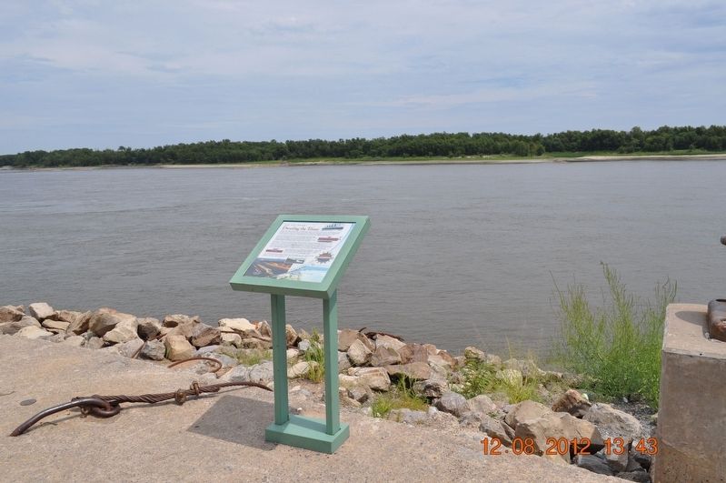
Dwarfing the Titanic
Did you Know?
However, the barges and their accompanying towboats that travel the Mississippi today are actually larger than the Titanic. The Titanic was 880 feet long and 92 feet wide. A typical middle-Mississippi River tow with towboats and barges averages 1,200 feet long and 200 feet wide. Imagine steering that!
Elsewhere in the world, towboats are called pushboats, because they push rather than tow their barges. Along the Mississippi River, barges were originally tied to the sides of steamboats and towed. The name eventually stuck. As more barges were pushed rather than towed, stern-wheel "paddle wheelers" replaced side-wheel boats. All paddle wheeler were eventually replaced by diesel-powered propellers in the 1930s. The diesel engines can produce 10,000 horsepower. The Titanic's 29 boilers could produce 50,000 horsepower.
Each barge can carry 1,500 tons of cargo- about 60 times more than a single tractor trailer. A towboat with its typical load of barges can carry as much as a line of tractor trailers 50 miles long.
The modern towboat is well-equipped for navigating the river. Detailed river maps, computers, depth finders, color radar and GPS systems make traveling the river safe and efficient.
Topics. This historical marker is listed in these topic lists: Industry & Commerce • Waterways & Vessels.
Location. 37° 18.198′ N, 89° 31.072′ W. Marker is in Cape Girardeau, Missouri, in Cape Girardeau County. Marker is on North Water Street. Marker is along the waterfront. Touch for map. Marker is at or near this postal address: 18 Main St, Cape Girardeau MO 63701, United States of America. Touch for directions.
Other nearby markers. At least 8 other markers are within walking distance of this marker. Captains of Industry (within shouting distance of this marker); 1958 (within shouting distance of this marker); Literary Giants / Missouri Mule (within shouting distance of this marker); Nature's River (within shouting distance of this marker); Mark Twain / Missouri Generals / George Caleb Bingham (within shouting distance of this marker); Visionary Women / Entrepreneurs (about 300 feet away, measured in a direct line); 1927 (about 300 feet away); 1918-1919 (about 300 feet away). Touch for a list and map of all markers in Cape Girardeau.
Credits. This page was last revised on October 11, 2022. It was originally submitted on August 30, 2017, by Sandra Hughes Tidwell of Killen, Alabama, USA. This page has been viewed 258 times since then and 17 times this year. Photos: 1, 2. submitted on August 30, 2017, by Sandra Hughes Tidwell of Killen, Alabama, USA. • Bill Pfingsten was the editor who published this page.

