College Hill in Providence in Providence County, Rhode Island — The American Northeast (New England)
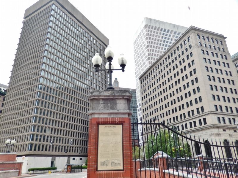
Around the Corner from Market Square
taken from “The Civic and Architectural Development of Providence” by John Hutchins Cady
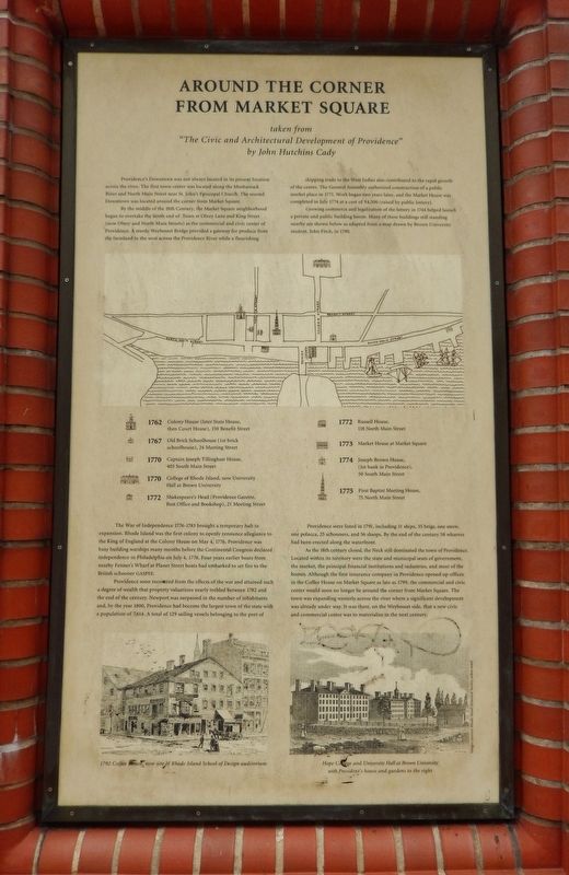
Providence’s Downtown was not always located in its present location across the river. The first town center was located along the Moshassock River and North Main Street near St. John’s Episcopal Church. The second Downtown was located around the corner from Market Square.
By the middle of the 18th Century, the Market Square neighborhood began to overtake the north end of Town at Olney Lane and King Street (now Olney and North Main Streets) as the commercial and civic center of Providence. A sturdy Weybosset Bridge provided a gateway for produce from the farmland to the west across the Providence River while a flourishing shipping trade to the West Indies also contributed to the rapid growth of the center. The General Assembly authorized construction of a public market place in 1771. Work began two years later, and the Market House was completed in July 1774 at a cost of $4,500 (raised by public lottery).
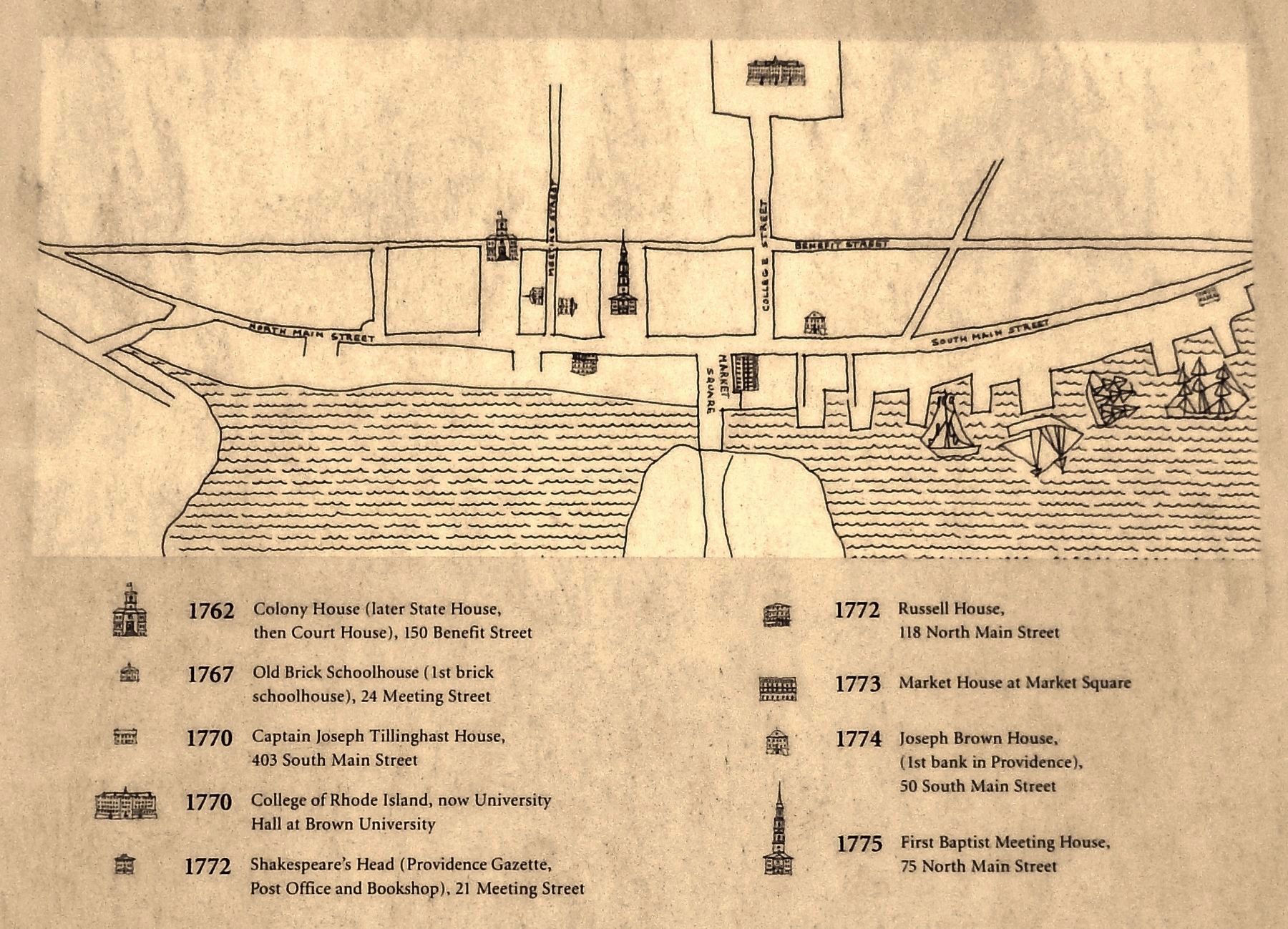
Growing commerce and legalization of the lottery in 1744 helped launch a private and public building boom. Many of these buildings still standing nearby are shown below as adapted from a map drawn by Brown University student, John Fitch, in 1790.
The War of Independence 1776 – 1783 brought a temporary halt to expansion. Rhode Island was the first colony to openly renounce allegiance to the King of England at the Colony House on May 4, 1776. Providence was busy building warships many months before the Continental Congress declared independence in Philadelphia on July 4, 1776. Four years earlier boats from nearby Fenner’s Wharf at Planet Street boats had embarked to set fire to the British schooner Gaspee.
Providence soon recovered from the effects of the war and attained such a degree of wealth that property valuations nearby trebled between 1782 and the end of the century. Newport was surpassed in the number of inhabitants and, by the year 1800, Providence had become the largest town of the state with a population of 7,614. A total of 129 sailing vessels belonging to the port of Providence were listed in 1791, including 11 ships, 35 brigs, one snow, one polacca, 25 schooners, and 56 sloops. By the end of the century 58 wharves had been erected along the waterfront.
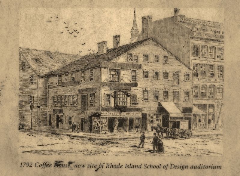
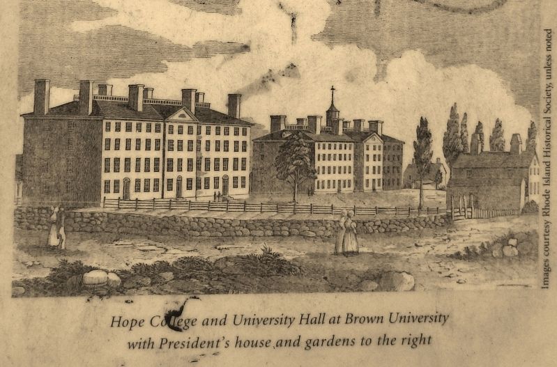
As the 18th Century closed, the Neck still dominated the town of Providence. Located within its territory were the state and municipal seats of government, the market, the principal financial institutions and industries, and most of the homes. Although the first insurance company in Providence opened up offices in the Coffee House on Market Square as late as 1799, the commercial and civic center would soon no longer be around the corner from Market Square. The town was expanding westerly across the river where a significant development was already under way. It was there, on the Weybosset side, that a new civic and commercial center was to materialize in the next century.
Topics. This historical marker is listed in these topic lists: Agriculture • Colonial Era • Industry & Commerce • Settlements & Settlers • War, US Revolutionary • Waterways & Vessels.
Location. 41° 49.532′ N, 71° 24.506′ W. Marker is in Providence, Rhode Island, in Providence County. It is in College Hill. Marker is on Canal Walk. Touch for map. Marker is in this post office area: Providence RI 02903, United States of America. Touch for directions.
Other nearby markers. At least 8 other markers are within walking distance of this marker. The History of The Weybosset Bridge (here, next to this marker); The Hurricane of September 21st 1938 (a few steps from this marker); United States Merchant Marine Memorial (within shouting distance of this marker); PFC Alfred Silver USA (within shouting distance of this marker); Luigi Scala (within shouting distance of this marker); The Market House (within shouting distance of this marker); Rhode Island Korean Veterans Memorial (within shouting distance of this marker); The Grand Lodge of Rhode Island (within shouting distance of this marker). Touch for a list and map of all markers in Providence.
Also see . . .
1. Six New England Presidential Visits and the Stories Behind Them.
By 1843, President Tyler was facing dramatic turnover in his cabinet. His efforts to negotiate the annexation of Texas into the United States was causing an uproar, since Taylor wanted it to join the United States as a slave-holding state. Buffeted by Washington, Tyler decided to take his program to the people. Travelling north toward Rhode Island, the crowds began swelling around North Kingstown. Tyler traveled the streets to Brown University and back to Market Square, where he ate at the Franklin House, an inn that used to stand across from the Market House. (Submitted on August 31, 2017, by Cosmos Mariner of Cape Canaveral, Florida.)
2. Market House, Providence, Rhode Island.
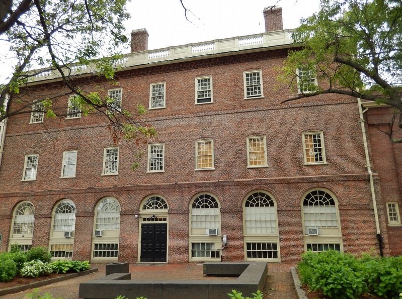
The Market House is an historic three-story brick market house in Market Square, in the College Hill neighborhood of Providence, Rhode Island, USA. The building was constructed in 1775 to a design by locally prominent architect Joseph Brown and Declaration signer Stephen Hopkins. The bottom level of the structure was used as a market and the upper level was used for holding meetings in the tradition of English public market buildings. Similar buildings existed in other American cities, such as Faneuil Hall in Boston and the Old Brick Market in Newport. (Submitted on August 31, 2017, by Cosmos Mariner of Cape Canaveral, Florida.)
Credits. This page was last revised on May 8, 2023. It was originally submitted on August 31, 2017, by Cosmos Mariner of Cape Canaveral, Florida. This page has been viewed 378 times since then and 17 times this year. Photos: 1, 2, 3, 4, 5, 6. submitted on August 31, 2017, by Cosmos Mariner of Cape Canaveral, Florida. • Bill Pfingsten was the editor who published this page.
