Chester in Chesterfield County, Virginia — The American South (Mid-Atlantic)
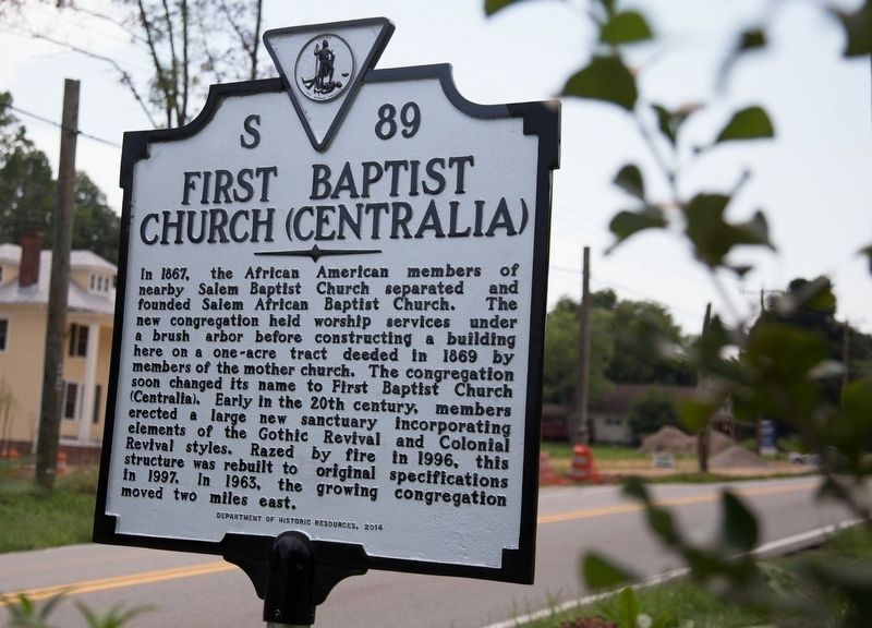
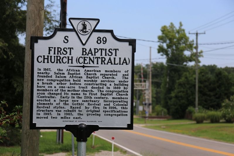
First Baptist Church (Centralia)
Erected 2014 by Department of Historic Resources. (Marker Number S-89.)
Topics and series. This historical marker is listed in this topic list: Churches & Religion. In addition, it is included in the Virginia Department of Historic Resources (DHR) series list. A significant historical year for this entry is 1867.
Location. 37° 22.863′ N, 77° 27.318′ W. Marker is in Chester, Virginia, in Chesterfield County. Marker is on Centralia Road (Virginia Route 145) just west of Chester Road (Virginia Route 144). It is just outside of (west of) the town line (the railroad tracks). Touch for map. Marker is in this post office area: Chester VA 23831, United States of America. Touch for directions.
Other nearby markers. At least 8 other markers are within 2 miles of this marker, measured as the crow flies. Second Battle of Drewry's Bluff (approx. 1.3 miles away); The Half-Way House (approx. 1.7 miles away); Halfway House (approx. 1.7 miles away); a different marker also named Half-Way House (approx. 1.7 miles away); Drewry’s Bluff Battlefield (approx. 1.7 miles away); a different marker also named Second Battle of Drewry's Bluff (approx. 1.7 miles away); Veterans Memorial (approx. 1.8 miles away); Into the "Bottle" (approx. 1.8 miles away). Touch for a list and map of all markers in Chester.
Also see . . . First Baptist Church Centralia History. “The plot of land on which the first church was located was given by Mr. and Mrs. P. A. Chalkley (White). The small group of members who came from Salem Baptist Church, worked their way from a bush arbor to worship in a small building located on the west side of the plot. Under the pastorate of Rev. T. H. Johnson a new building was erected. During the administration of Reverend J. H. Binford, this same building was remodeled into the building we know today as Historical First Baptist Centralia.” (Submitted on August 31, 2017.)
Credits. This page was last revised on August 31, 2017. It was originally submitted on August 31, 2017, by J. J. Prats of Powell, Ohio. This page has been viewed 518 times since then and 41 times this year. Photos: 1, 2. submitted on August 31, 2017, by J. J. Prats of Powell, Ohio.
Editor’s want-list for this marker. A photo of the marker showing its surroundings • Photos of the church, when it was here and in the new location • Can you help?

