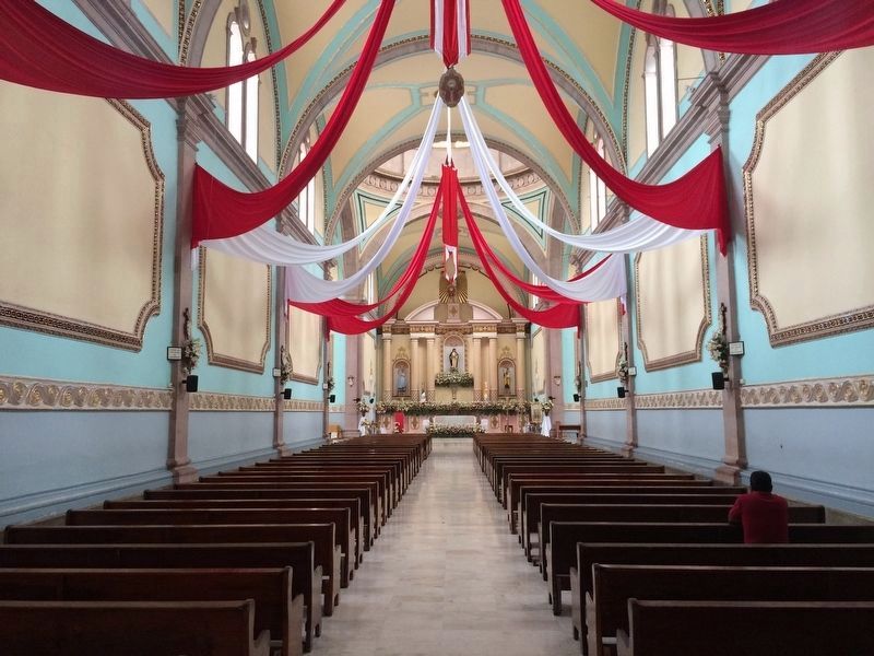
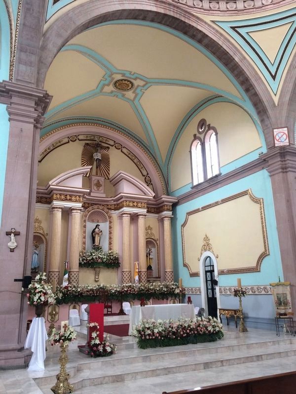
Santa Rosa Jáuregui in Querétaro, Mexico — The Central Highlands (North America)
The History of Santa Rosa Jáuregui
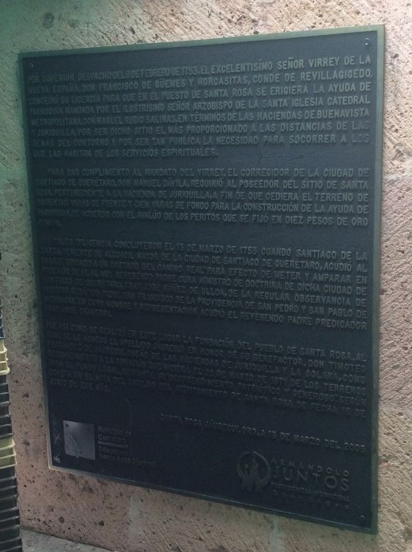
Por superior despacho del 6 de febrero de 1753, el Excelentisímo Señor Virrey de la Nueva España, Don Francisco de Güemes y Horcasitas, Conde de Revillagigedo, concedió su licencia para que en el puesto de Santa Rosa se erigiera la ayuda del parroquia mandada por el Ilustrísimo Señor Arzobispo de la Santa Iglesia Catedral Metropolitana, Don Manuel Rubio Salinas, en términos de las Haciendas de Buenavista y Juriquilla, por ser dicho sitio el más proporcionada a las distancias de las demás del contorno y por ser tan pública la necesidad para socorrer a los que las habitan de los servicios espirituales.
Para dar cumplimiento al mandato del Virrey el Corregidor de la ciudad de Santiago de Querétaro, Don Manuel Dávila, requirió al poseedor del sitio de Santa Rosa, perteneciente a la Hacienda de Juriquilla, a fin de que cediera el terreno de docientas varas de frente y cien varas de fondo para la construcción de la ayuda de parroquia, de acuerdo con el avalúo de los peritos que se fijó en diez peso de oro común.
Tales diligencia concluyeron el 13 de marzo de 1753 cuando Santiago de la Garza, Teniente de Alguacil Mayor de la ciudad de Santiago de Querétaro, acudió al paraje ubicado a un costado del Camino Real “para efecto de meter y amparar en posesión de él al muy Reverendo Padre Cura Ministro de Doctrina de dicha ciudad de Santiago de Querétaro, Fray José Núñez de Ulloa, de la regular observancia de Nuestra Seráfico Padre San Francisco de la Providencia de San Pedro y San Pablo de Michoacán,” en cuyo nombre y representación acudió al Reverendo Padre Predicador Fray José Chaverri.
Fue así como se realizó en este lugar la fundación del pueblo de Santa Rosa, al cual se le agregó el apellido Jáuregui en honor de su benefactor, Don Timoteo Fernández de Jáuregui, dueño de las Haciendas de Juriquilla y La Solana, como reconocimiento a la donación que hiciera el 22 de marzo de 1871 de los terrenos para el fundo legal, mediante un “desprendimiento patriótico y generoso,” según consta en el acta del cabildo del ayuntamiento de Santa Rosa de fecha 15 de junio de ese año.
Santa Rosa Jáuregui, Qro, a 13 de marzo del 2005
English translation:
Through a dispatch dated February 6, 1753, his Excellency, the Viceroy of New Spain, Francisco de Güemes y Horcasitas, Count of Revillagigedo, granted a license so that in the area of Santa Rosa be completed a parish ordered by the Illustrious Lord Archbishop of the Holy Metropolitan Cathedral Church, Manuel Rubio Salinas, in the location near the Haciendas of Buenavista and Juriquilla, since this site was a central location for other nearby towns and there was a public need for spiritual services.
To fulfill the mandate of
the Viceroy, the Corregidor of the city of Santiago de Querétaro, Manuel Dávila, requested from the owner of the site in Santa Rosa, which belonged to the Hacienda of Juriquilla, an area bounded by a frontal length of two hundred ‘varas’ and one hundred ‘varas’ along its side in order to complete with the construction of the parish, according to the expert appraisal which had been set at ten pesos of common gold.
These proceedings concluded on March 13, 1753 when Santiago de la Garza, the Lieutenant of the Sheriff of the city of Santiago de Querétaro, went to the agreed upon location along the Camino Real "to put into effect its possession for the Very Reverend Father and Priest, Minister of Doctrine of the city of Santiago de Querétaro, Friar José Núñez de Ulloa, of the regular observance of Our Seraphic Father Saint Francis of the Providence of Saint Peter and Saint Paul of Michoacán" in whose representation was the Reverend Father and Priest Friar José Chaverri.
This is the history of the founding of the town of Santa Rosa, to which was later added the surname Jáuregui in honor of its benefactor, Timoteo Fernández de Jáuregui, owner of the Haciendas de Juriquilla and La Solana, as recognition of the donation of lands that he made on March 22, 1871, through a "patriotic and generous detachment," as recorded in the minutes of the town hall of Santa Rosa on June
15 of that year.
Santa Rosa Jáuregui, Qro, on March 13, 2005
Erected 2005 by Municipio de Querétaro y la Delegación de Santa Rosa Jáuregui.
Topics. This historical marker is listed in these topic lists: Charity & Public Work • Churches & Religion • Colonial Era • Settlements & Settlers. A significant historical date for this entry is February 6, 1753.
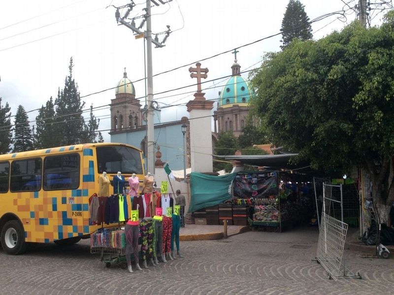
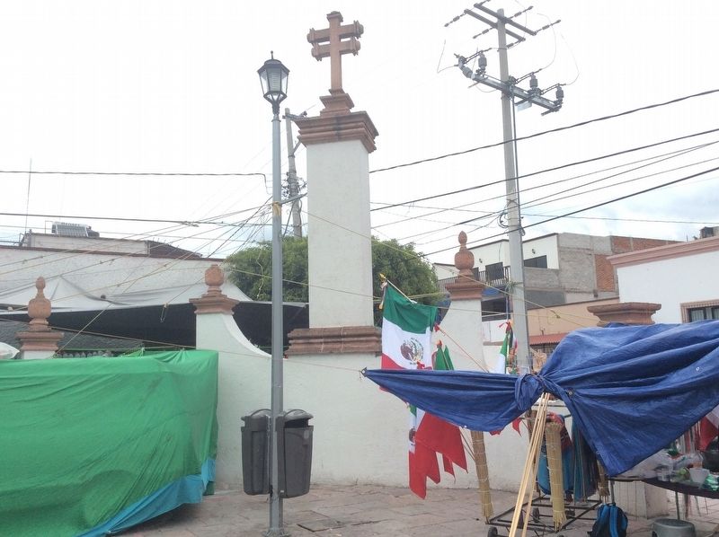
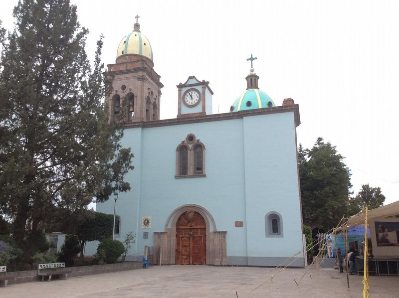
Location. 20° 44.536′ N, 100° 26.851′ W. Marker is in Santa Rosa Jáuregui, Querétaro. Marker is at the intersection of Calle Independencia and Calle 5 de Mayo, on the right when traveling south on Calle Independencia. The marker is on the northeast corner of the Santa Rosa Jáuregui Catholic Church plaza. Touch for map. Marker is in this post office area: Santa Rosa Jáuregui QUE 76220, Mexico. Touch for directions.
Other nearby markers. At least 8 other markers are within walking distance of this marker. Timoteo Fernández de Jáuregui (within shouting distance of this marker); The President Juárez Walkway and Founding of Santa Rosa Jáuregui (within shouting distance of this marker); Miguel Hidalgo y Costilla (within shouting distance of this marker); House of the Corregidora (approx. 1.1 kilometers away); The Mission at Jalpan (approx. 1.1 kilometers away); Aqueduct of Querétaro (approx. 1.1 kilometers away); Temple of the Santa Cruz (approx. 1.1 kilometers away); The Mission at Tilaco (approx. 1.1 kilometers away). Touch for a list and map of all markers in Santa Rosa Jáuregui.
Credits. This page was last revised on April 5, 2024. It was originally submitted on September 2, 2017, by J. Makali Bruton of Accra, Ghana. This page has been viewed 352 times since then and 39 times this year. Photos: 1, 2, 3, 4, 5, 6. submitted on September 2, 2017, by J. Makali Bruton of Accra, Ghana.
