Santiago de Querétaro in Querétaro, Mexico — The Central Highlands (North America)
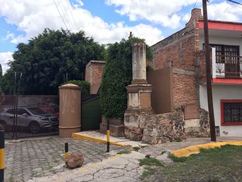
The Cosío Waterway
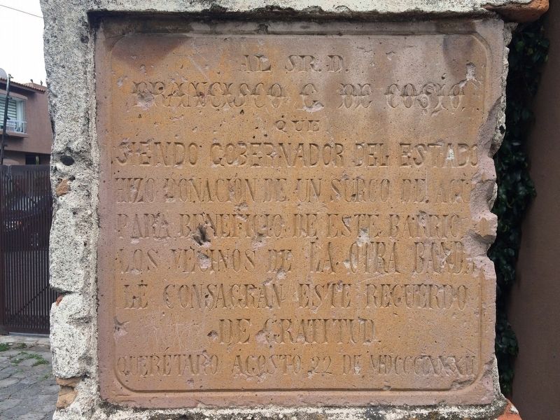
Francisco G. de Cosio
que
siendo Gobernador del Estado
hizo donación de un surco de agua
para beneficio de este barrio.
Los vecinos de La Otra Banda
le consagran este recuerdo
de gratitud.
Querétaro Agosto 22 de MDCCCLXXXII
who, as Governor of the state,
donated a waterway
for the benefit of this neighborhood.
The inhabitants of “The Other Side” dedicate to him this show of their gratitude.
Querétaro, August 22, 1882
Erected 1882 by Vecinos de "La Otra Banda".
Topics. This historical marker is listed in these topic lists: Government & Politics • Man-Made Features • Waterways & Vessels. A significant historical date for this entry is August 22, 1882.
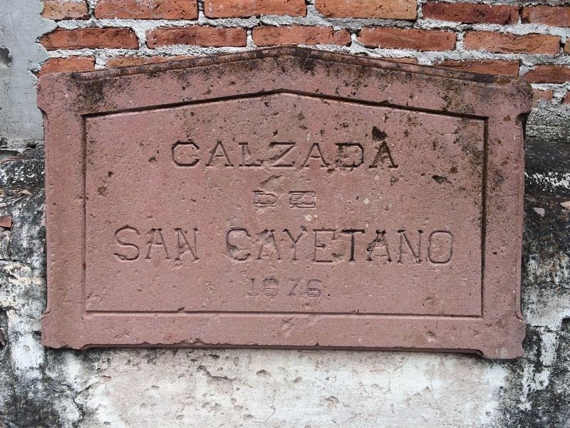
Location. 20° 36.104′ N, 100° 22.928′ W. Marker is in Santiago de Querétaro, Querétaro. Marker is on Calzada San Cayetano just north of Avenida Universidad, on the right when traveling north. Touch for map. Marker is in this post office area: Santiago de Querétaro QUE 76000, Mexico. Touch for directions.
Other nearby markers. At least 8 other markers are within walking distance of this marker. Republican Triumph: May 15, 1867 (approx. 0.3 kilometers away); Damián Carmona (approx. 0.3 kilometers away); The Strangled City (approx. 0.3 kilometers away); The War's Toll (approx. 0.3 kilometers away); The Ravages of War (approx. 0.3 kilometers away); Fountain of Garmilla (approx. 0.7 kilometers away); Chapel of the Most Holy Trinity (approx. 0.8 kilometers away); El Mexicano Fountain (approx. 0.9 kilometers away). Touch for a list and map of all markers in Santiago de Querétaro.
Regarding The Cosío Waterway. Francisco González Cosío was Governor of the state of Querétaro from 1880-1883 and then from 1887-1911. He was a strong supporter of President Porfirio Díaz.
The marker uses the world "surco" for "waterway", which could also be translated as "ditch". It is likely that the waterway mentioned for this community was a branch of an aqueduct that ran nearby and supplied water to a mill, now the location of the Universidad Marista.
The neighborhood mentioned in the marker was called "La Otra Banda" or "The Other Side", as this area was north of the river that forms the natural boundary of the historic center. This would be similar to the English saying of "the other side of the tracks."
Credits. This page was last revised on September 2, 2017. It was originally submitted on September 2, 2017, by J. Makali Bruton of Accra, Ghana. This page has been viewed 179 times since then and 9 times this year. Photos: 1, 2, 3. submitted on September 2, 2017, by J. Makali Bruton of Accra, Ghana.


