Tilton in Whitfield County, Georgia — The American South (South Atlantic)
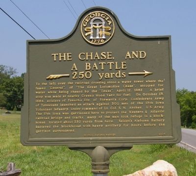
The Chase, and a Battle
250 yards →
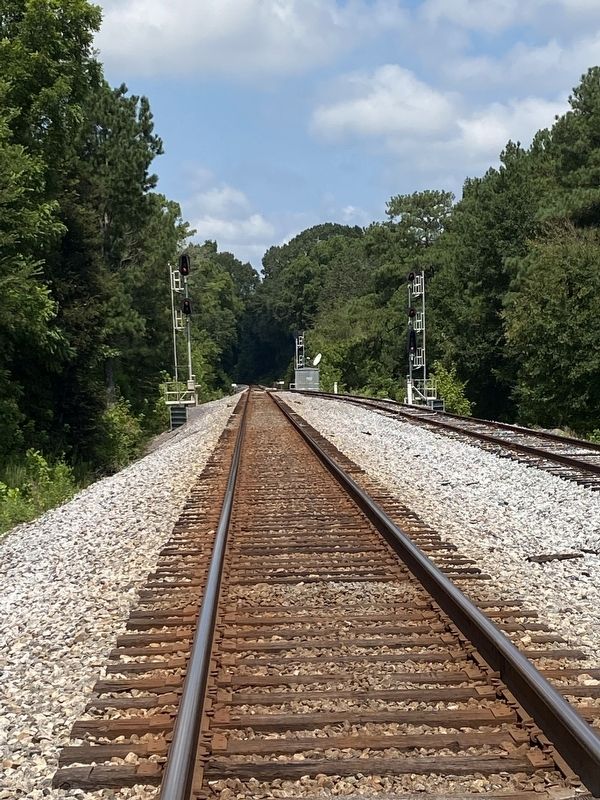
On October 13, 1864, solders of French's division, Steward's Corps Confederate Army of Tennessee launched an attack against 300 men of the 17th Iowa, Volunteer Infantry, under command of Lt. Col. S. M. Archer, U.S. Army. The 17th Iowa was garrisoned here to protect the Western & Atlantic railroad bridges and tracks, many of the men took refuge in a blockhouse, located about 250 yards from here. Selden's Alabama Battery battered the blockhouse with heavy artillery for hours before the garrison surrounded.
Erected 2004 by Georgia Department of Natural Resources.
Topics and series. This historical marker is listed in this topic list: War, US Civil. In addition, it is included in the Georgia Historical Society series list. A significant historical date for this entry is April 12, 1864.
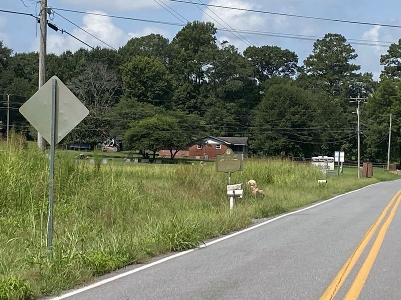
Location. 34° 39.9′ N, 84° 56.29′ W. Marker is in Tilton, Georgia, in Whitfield County. Marker is on Tilton Road, 0.6 miles east of Tilton Church Road, on the left when traveling west. Touch for map. Marker is at or near this postal address: 805 Tilton Road, Dalton GA 30721, United States of America. Touch for directions.
Other nearby markers. At least 8 other markers are within 4 miles of this marker, measured as the crow flies. Battles of Tilton (approx. 2.4 miles away); The Dixie Highway Becomes Dixie Highway (approx. 2.9 miles away); Battle of Resaca (approx. 3 miles away); a different marker also named Battle of Resaca (approx. 3 miles away); a different marker also named Battle of Resaca (approx. 3.4 miles away); a different marker also named Battle of Resaca (approx. 3˝ miles away); 123rd New York Infantry (approx. 3.7 miles away); a different marker also named Battle of Resaca (approx. 3.7 miles away).
Credits. This page was last revised on August 29, 2021. It was originally submitted on August 27, 2008, by David Seibert of Sandy Springs, Georgia. This page has been viewed 1,389 times since then and 19 times this year. Photos: 1. submitted on August 27, 2008, by David Seibert of Sandy Springs, Georgia. 2, 3. submitted on August 29, 2021, by Darren Jefferson Clay of Duluth, Georgia. • Craig Swain was the editor who published this page.


