Kerrs Creek in Rockbridge County, Virginia — The American South (Mid-Atlantic)
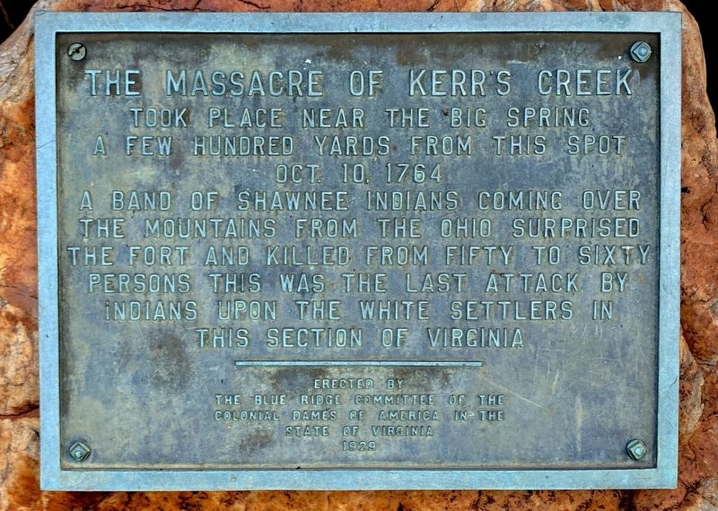
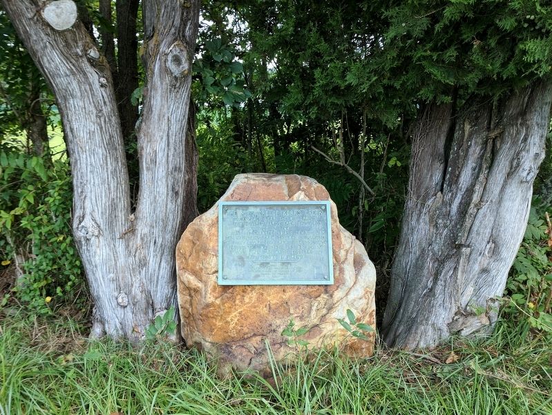
The Massacre of Kerr's Creek
Erected 1929 by The Blue Ridge Committee of the Colonial Dames of America in the State of Virginia.
Topics. This historical marker is listed in these topic lists: Colonial Era • Forts and Castles • Native Americans • Settlements & Settlers. A significant historical date for this entry is October 10, 1764.
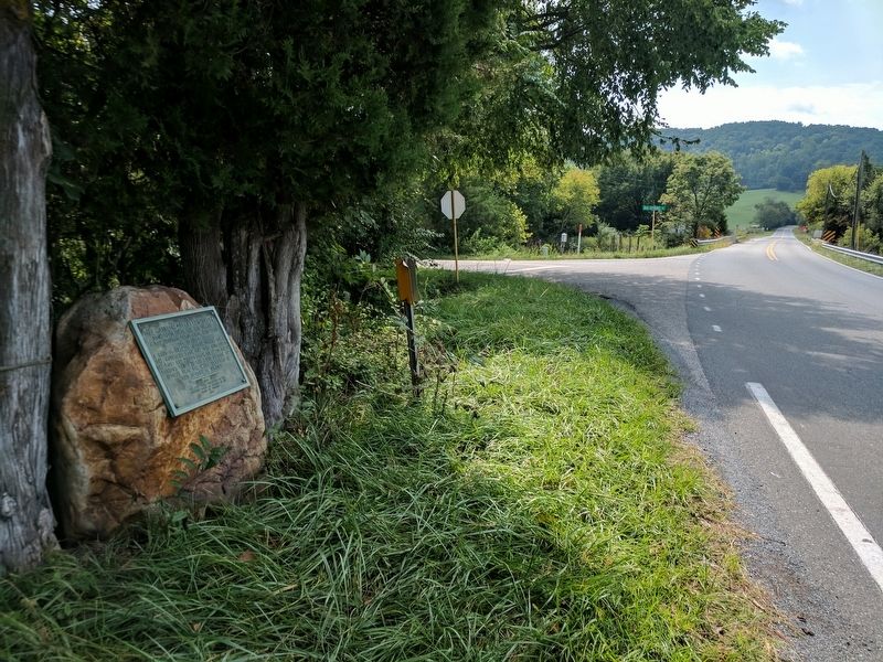
Location. 37° 50.892′ N, 79° 29.052′ W. Marker is in Kerrs Creek, Virginia, in Rockbridge County. Marker is at the intersection of West Midland Trail (U.S. 60) and Big Spring Road (Virginia Route 631), on the right when traveling west on West Midland Trail. Touch for map. Marker is in this post office area: Lexington VA 24450, United States of America. Touch for directions.
Other nearby markers. At least 8 other markers are within 5 miles of this marker, measured as the crow flies. Kerr’s Creek (about 300 feet away, measured in a direct line); Jane Todd Crawford (approx. 2.8 miles away); New Monmouth Church (approx. 2.8 miles away); New Monmouth Church and Morrison’s Birthplace (approx. 2.8 miles away); Liberty Hall Academy (approx. 4.3 miles away); Liberty Hall Academy Ruins (approx. 4.3 miles away); Founding of Kappa Alpha Order (approx. 4.6 miles away); Major General Francis H. Smith (approx. 4.7 miles away).
Credits. This page was last revised on September 5, 2017. It was originally submitted on September 5, 2017, by Bernard Fisher of Richmond, Virginia. This page has been viewed 2,203 times since then and 354 times this year. Photos: 1, 2, 3. submitted on September 5, 2017, by Bernard Fisher of Richmond, Virginia.


