Dennis Point
Living Wharves / Tchais Vivants
Following the fish
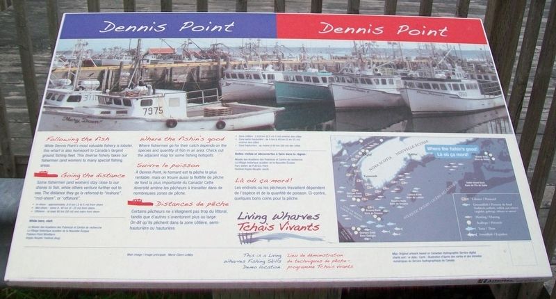
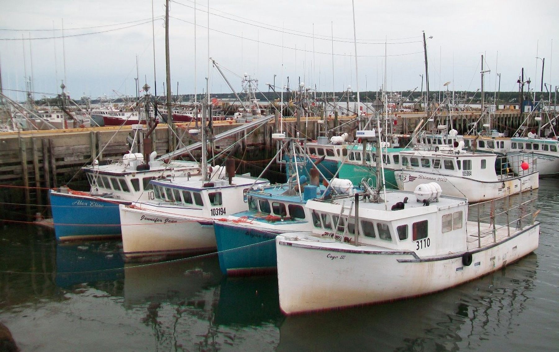
While Dennis Point's most valuable fishery is lobster, this wharf is also home to Canada's largest ground fishing fleet. This diverse fishery takes our fishermen (and women) to many special fishing areas.
Going the distance
Some fishermen (and women) stay close to our shores to fish, while others venture further out to sea. The distance they go is referred to [as] "inshore", "mid-shore", or "offshore.
• In-shore - approximately .8-8 km (.5 to 5 mi) from shore
• Mid-shore - some 8- 40 km (5 -25 mi) from shore
• Offshore - at least 80 km (50 mi) and more from shore
Where the fishin's good
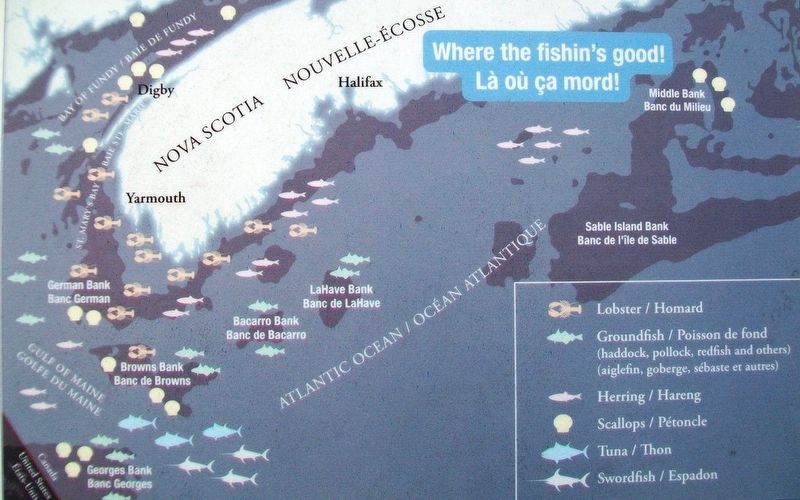
Where fishermen go for their catch depends on the species and quantity of fish in an area. Check out the adjacent map for some fishing hotspots.
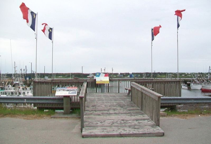
This is a Living Wharves Fishing Skills Demo location.
Map: Original artwork based on Canadian Hydrographic Service digital charts and / or data.
Distances de pêche
• Zone côtière : à 8,8 km (0,5 mi-5 mi) environ des côtes
Là où ça mord!
Lieu de démonstration de techniques de pêche -
programme Tchais vivants.
Carte: illustration d'après des cartes et des données numériques du Service hydrographique du Canada.
À Dennis Point, le homard est la pêche la plus rentable, mais on trouve aussi la flottille de pêche de fond
la plus importante du Canada! Cette diversité amène les pêcheurs à travailler dans de nombreuses zones de pêche.
Certain pêcheurs ne s'éloignent pas trop du littoral, tandis que d'autres s'aventurent plus au large. On dit qui'ils pêchent dans la zone côtière, semi-hauturière ou hauturière.
• Zone semi-hauturière : de 8 km à 40 km (5 mi-25 mi) environ des côtes
• Zone hauturière : au moins à 80 km (50 mi) des côtes
Les endroits où les pêcheurs travaillent dépendent de l'espèce et de la quantité de poisson. Ci-contre, quelques bons coins pour la pêche.
Topics. This historical marker is listed in these topic lists: Animals • Environment • Industry & Commerce • Waterways & Vessels.
Location. 43° 37.094′ N, 65° 47.312′ W. Marker is in Middle West Pubnico, Nova Scotia, in Yarmouth County. Marker is on Dennis Point Road, one kilometer south of D'Entremont Road, on the left when traveling south. Touch for map. Marker is at or near this postal address: 35-219 Dennis Point Road, Middle West Pubnico NS B0W 2M0, Canada. Touch for directions.
Other nearby markers. At least 8 other markers are within 6 kilometers of this marker, measured as the crow flies. Recolter la mer / Harvesting the Sea (here, next to this marker); Sieur Phillippe Mius-d'Entremont (approx. 2.2 kilometers away); Les pionniers acadiens / Acadian Pioneers (approx. 2.2 kilometers away); What and When is Le Village Acadien? (approx. 2.2 kilometers away); Who are the Acadians? / Qui sont les Acadiens? (approx. 2.2 kilometers away); What and Where is Acadie? / L'Acadie, c'est quoi?...c'est ou? (approx. 2.2 kilometers away); A Bond with the Sea / A Sustaining Faith (approx. 2.2 kilometers away); Musée acadien et Centre de recherch / Acadian Museum and Research Center (approx. 5.4 kilometers away).
Also see . . .
1. Living Wharves. Yarmouth and Acadian Shores website entry (Submitted on September 5, 2017, by William Fischer, Jr. of Scranton, Pennsylvania.)
2. The Lobster Cars at Dennis Point Wharf in Pubnico. A Canadian Foodie website entry (Submitted on September 5, 2017, by William Fischer, Jr. of Scranton, Pennsylvania.)
3. Dennis Point Wharf, Pubnico NS. YouTube video (1m 7s) (Submitted on September 5, 2017, by William Fischer, Jr. of Scranton, Pennsylvania.)
Credits. This page was last revised on August 9, 2023. It was originally submitted on September 5, 2017, by William Fischer, Jr. of Scranton, Pennsylvania. This page has been viewed 198 times since then and 30 times this year. Photos: 1, 2, 3, 4. submitted on September 5, 2017, by William Fischer, Jr. of Scranton, Pennsylvania.


