Near Baker City in Baker County, Oregon — The American West (Northwest)
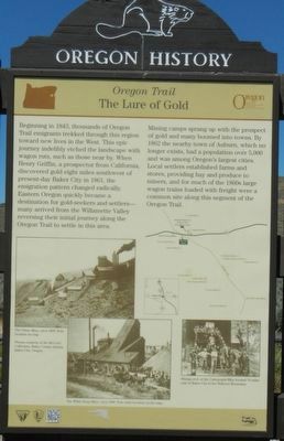
The Lure of Gold
Oregon Trail
— Oregon History —

Photographed By Barry Swackhamer, June 28, 2017
1. The Lure of Gold Marker
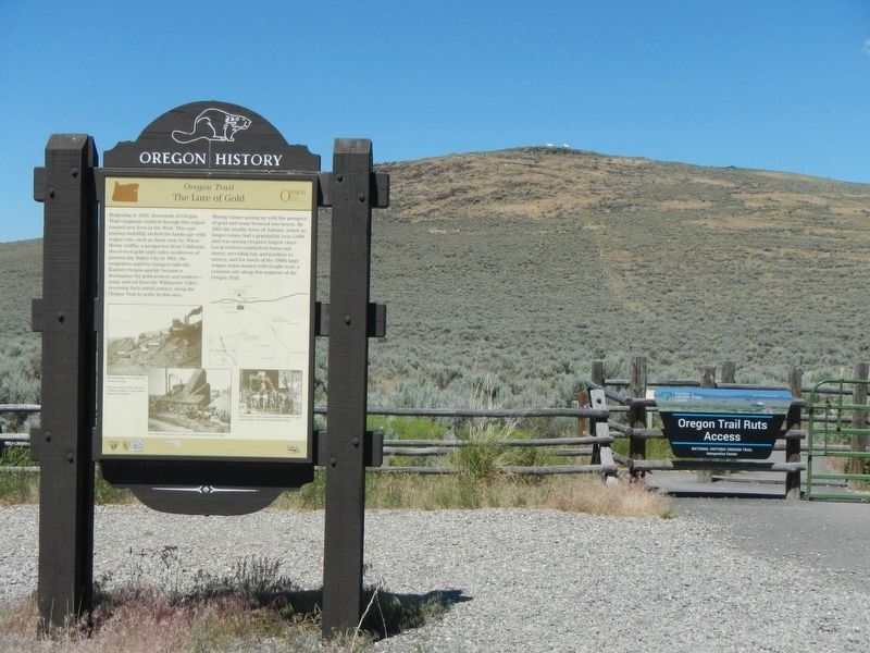
Captions: (middle left) The Virtue Mine, circa 1890. Note location on map.; (bottom left) The White Swan Mine, circa 1890.; (bottom right) Mining crew of the Cornucopia Mine located 70 miles east of Baker City in the Wallowa Mountains.; (upper right, map of miles located near the National Historical Oregon Trail Interpretive Center).
Mining camps sprang up with the prospect of gold and many boomed into towns. By 1862 the nearby town of Auburn, which no longer exists, had a population over 5,000 and was among Oregon's largest cities. Local settlers established farms and stores, providing hay and produce to miners, and for much of the 1860s large wagon trains loaded with freight were a common site along this segment of the Oregon Trail.
Erected by Bureau of Land Management and National Park Service.
Topics and series. This historical marker is listed in these topic lists: Industry & Commerce • Roads & Vehicles. In addition, it is included in the Oregon Beaver Boards, and the Oregon Trail series lists. A significant historical year for this entry is 1843.
Location. 44° 48.486′ N, 117° 43.908′ W. Marker is near Baker City, Oregon, in Baker County. Marker is on Oregon Route 86 near Oregon Trail, on the right when traveling west. Touch for map. Marker is at or near this postal address: 22267 Oregon Highway 86, Baker City OR 97814, United States of America. Touch for directions.
Other nearby markers. At least 8 other markers are within 5 miles of this marker, measured as the crow flies. Ruts of the Oregon Trail (a few steps from this marker); The Wagon Encampment (approx. 0.4 miles away); Oregon Trail Memorial (approx. 0.6 miles away); The Lone Tree of the Oregon Trail (approx. 1.1 miles away); Chinese Shrine (approx. 4.1 miles away); Baker City Chinese History (approx. 4.1 miles away); Baker (approx. 4.3 miles away); The Oregon Trail (approx. 4.3 miles away). Touch for a list and map of all markers in Baker City.
Credits. This page was last revised on February 11, 2018. It was originally submitted on September 9, 2017, by Barry Swackhamer of Brentwood, California. This page has been viewed 271 times since then and 30 times this year. Photos: 1, 2. submitted on September 9, 2017, by Barry Swackhamer of Brentwood, California.
