Near Manassas in Prince William County, Virginia — The American South (Mid-Atlantic)
Stone House
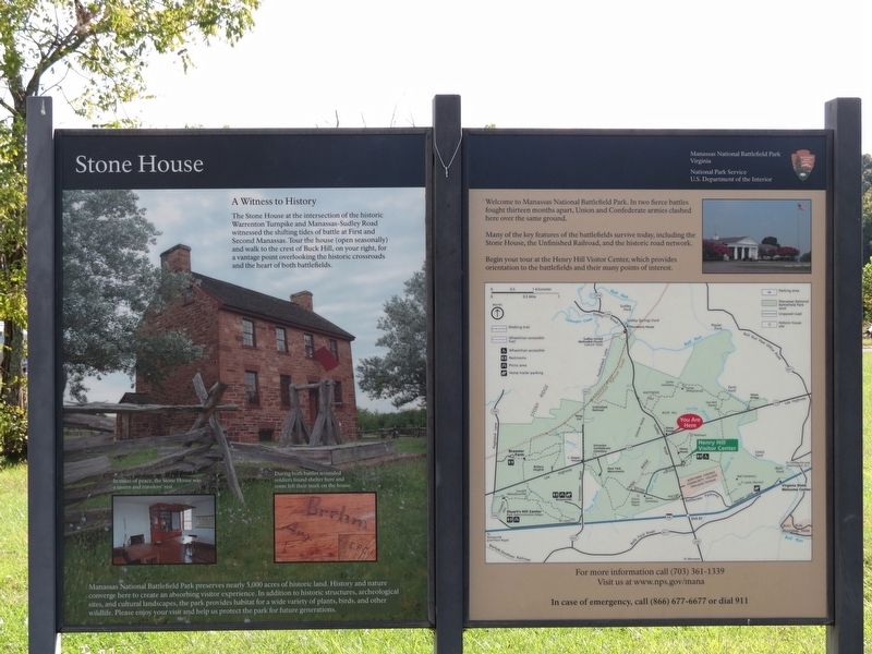
A Witness to History
Manassas National Battlefield Park preserves nearly 5,000 acres of historic land. History and nature converge here to create an absorbing visitor experience. In addition to historic structures, archeological sites, and cultural landscapes, the park provides habitat for a wide variety of plants, birds, and other wildlife. Please enjoy your visit and help us protect the park for future generations.
(captions)
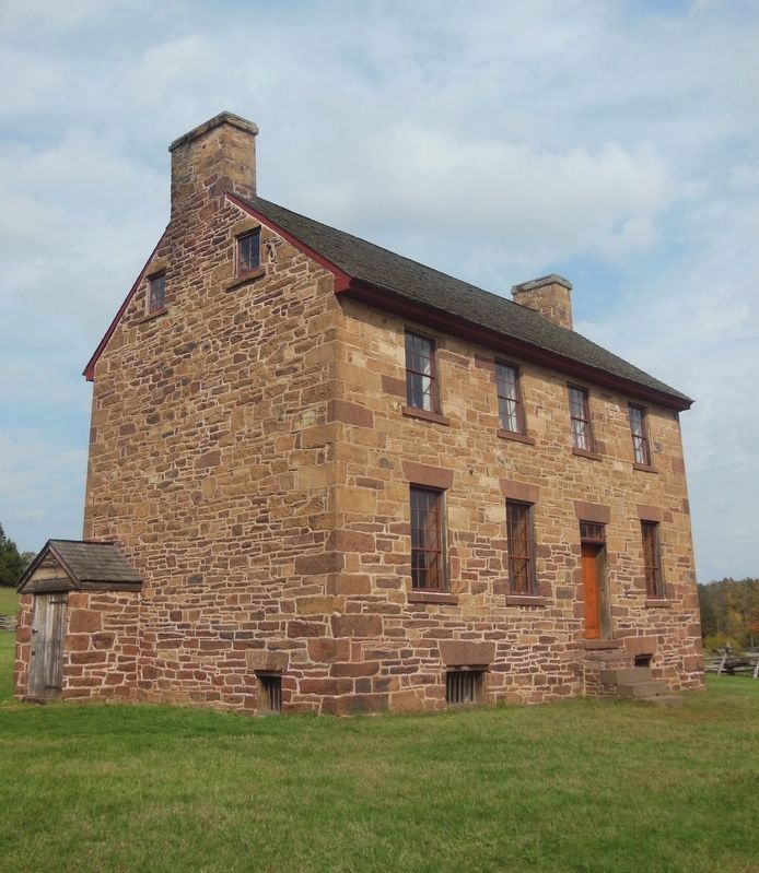
In times of peace the Stone House was a tavern and travelers' rest.
During both battles wounded soldiers found shelter here and some left their mark on the house.
Erected by Manassas National Battlefield Park, National Park Service, U.S. Department of the Interior.
Topics. This historical marker is listed in this topic list: War, US Civil. A significant historical date for this entry is July 21, 1861.
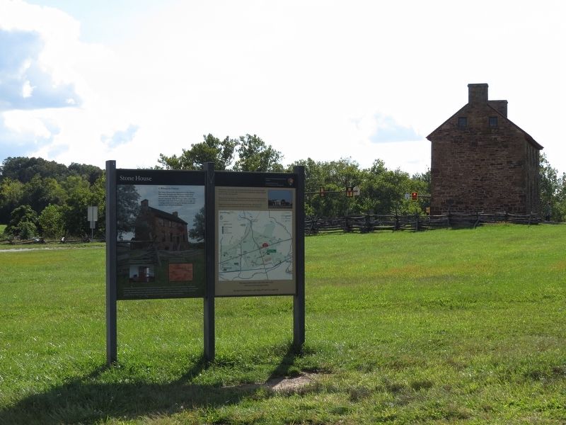
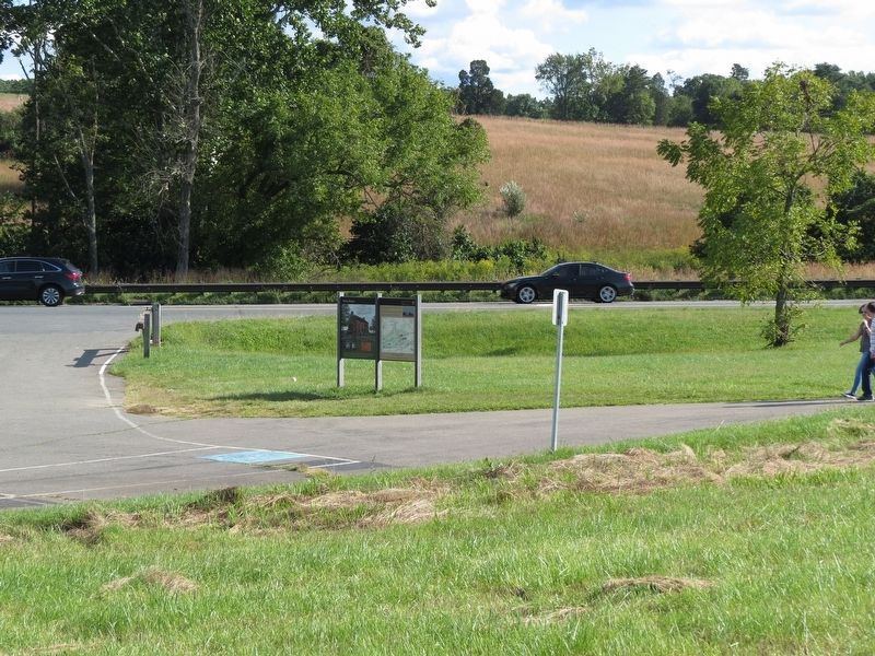
Location. 38° 49.147′ N, 77° 31.513′ W. Marker is near Manassas, Virginia, in Prince William County. Marker is on Lee Highway (U.S. 29) 0.1 miles east of Sudley Road (Virginia Route 234), on the right when traveling west. Marker is at the western edge of the Stone House parking lot, at the start of the path to the Stone House. Touch for map. Marker is in this post office area: Manassas VA 20109, United States of America. Touch for directions.
Other nearby markers. At least 8 other markers are within walking distance of this marker. First Battle of Manassas (within shouting distance of this marker); Henry House (within shouting distance of this marker); a different marker also named First Battle of Manassas (within shouting distance of this marker); Stone House: Witness to War (within shouting distance of this marker); Battlefield of Bull Run or First Manassas (about 400 feet away, measured in a direct line); Visions of Victory (about 500 feet away); Pope's Headquarters (about 600 feet away); James Robinson House (approx. 0.2 miles away). Touch for a list and map of all markers in Manassas.
Also see . . . Manassas National Battlefield Park. National Park Service (Submitted on September 11, 2017.)
Credits. This page was last revised on April 26, 2021. It was originally submitted on September 10, 2017, by Samuel Paik of Gainesville, Virginia. This page has been viewed 376 times since then and 33 times this year. Photos: 1, 2, 3. submitted on September 10, 2017, by Samuel Paik of Gainesville, Virginia. 4. submitted on April 25, 2021, by Bradley Owen of Morgantown, West Virginia. • Bernard Fisher was the editor who published this page.


