Near Ardmore in Giles County, Tennessee — The American South (East South Central)
Civil War in Tennessee
Hood Campaign of 1864
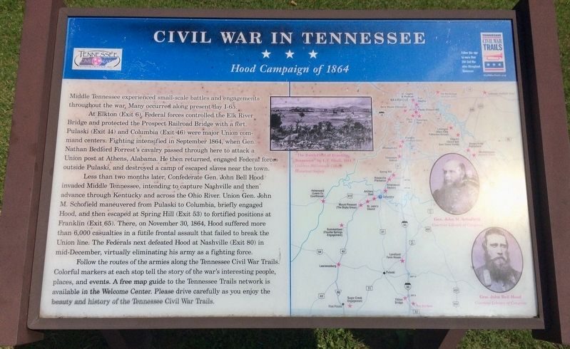
At Elkton (Exit 6), Federal forces controlled the Elk River Bridge and protected the Prospect Railroad Bridge with a fort Pulaski (Exit 14) and Columbia (Exit 46) were major Union command centers. Fighting intensified in September 1864, when Gen. Nathan Bedford Forrest's cavalry passed through here to attack a Union post at Athens, Alabama. He then returned, engaged Federał forces outside Pulaski, and destroyed a camp of escaped slaves near the town.
Less than two months later, Confederate Gen. John Bell Hood invaded Middle Tennessee, intending to capture Nashville and then advance through Kentucky and across the Ohio River. Union Gen. John M. Schofield maneuvered from Pulaski to Columbia, briefly engaged Hood, and then escaped at Spring Hill (Exit 53) to fortified positions at Franklin (Exit 65). There, on November 30, 1864, Hood suffered more than 6,000 casualties in a futile frontal assault that failed to break the Union line. The Federals next defeated Hood at Nashville (Exit 80) in mid-December, virtually eliminating his army as a fighting force.
Follow the routes of the armies along the Tennessee Civil War Trails. Colorful markers at each stop tell the story of the war's interesting people places, and events. A free map guide to the Tennessee Trails network is available in the Welcome Center. Please drive carefully as you enjoy the beauty and history of the Tennessee Civil War Trails.
[Photo captions]
Top middle: "The Battlefield of Franklin, Tennessee" by L.T. Shull, 1884
Bottom right portraits: Gen. John M. Schofield, Gen. John Bell Hood
Erected by Tennessee Civil War Trails.
Topics and series. This historical marker is listed in these topic lists: Roads & Vehicles • War, US Civil. In addition, it is included in the Tennessee Civil War Trails series list. A significant historical month for this entry is September 1864.
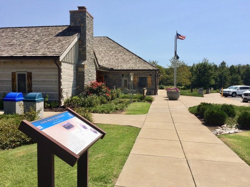
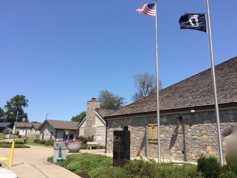
Location. 35° 2.168′ N, 86° 52.691′ W. Marker is near Ardmore, Tennessee, in Giles County. Marker can be reached from Interstate 65 at milepost 2.8, on the right when traveling north. Located at the I-65 Tennessee Welcome Center above the Alabama/Tennessee border. Touch for map. Marker is in this post office area: Ardmore TN 38449, United States of America. Touch for directions.
Other nearby markers. At least 8 other markers are within 6 miles of this marker, measured as the crow flies. First Section of Tennessee Interstate (within shouting distance of this marker); Tennessee AMVETS Veterans Memorial (within shouting distance of this marker); Elkton Bridge (approx. 0.9 miles away); John Calvin Brown
(approx. 4.6 miles away); Neill S. Brown (approx. 4.6 miles away); Pettusville (approx. 5.4 miles away in Alabama); Alabama Korean War Memorial (approx. 5.7 miles away in Alabama); Vietnam Veterans of America (approx. 5.7 miles away in Alabama). Touch for a list and map of all markers in Ardmore.
Also see . . . Wikipedia article - Franklin–Nashville Campaign (Hood's Tennessee Campaign). (Submitted on September 12, 2017, by Mark Hilton of Montgomery, Alabama.)
Credits. This page was last revised on September 12, 2017. It was originally submitted on September 12, 2017, by Mark Hilton of Montgomery, Alabama. This page has been viewed 718 times since then and 40 times this year. Photos: 1, 2, 3. submitted on September 12, 2017, by Mark Hilton of Montgomery, Alabama.


