Near Peebles in Adams County, Ohio — The American Midwest (Great Lakes)
Locust Grove
Abandoned to the Rebels
— John Hunt Morgan Heritage Trail —
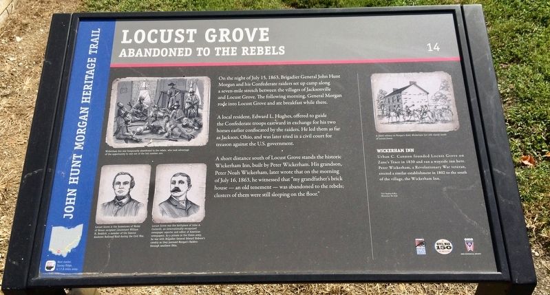
On the night of July 15, 1863, Brigadier General John Hunt Morgan and his Confederate raiders set up camp along a seven-mile stretch between the villages of Jacksonville and Locust Grove. The following morning, General Morgan rode into Locust Grove and ate breakfast while there.
A local resident, Edward L. Hughes, offered to guide the Confederate troops eastward in exchange for his two horses earlier confiscated by the raiders. He led them as far as Jackson, Ohio, and was later tried in a civil court for treason against the U.S. government.
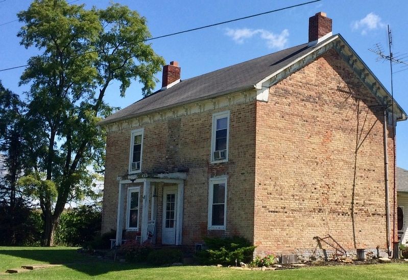
A short distance south of Locust Grove stands the historic Wickerham Inn, built by Peter Wickerham. His grandson, Peter Noah Wickerham, later wrote that on the morning of July 16, 1863, he witnessed that "my grandfather's brick house — an old tenement — was abandoned to the rebels; clusters of them were still sleeping on the floor."
Wickerham Inn
Urban C. Cannon founded Locust Grove on Zane's Trace in 1830 and ran a wayside inn here. Peter Wickerham, a Revolutionary War veteran, erected a similar establishment in 1802 to the south of the village, the Wickerham Inn.
[Captions:]
Top left: Wickerham Inn was temporarily abandoned to the rebels, who took advantage of the opportunity to rest out of the hot summer sun.
Bottom left: Locust Grove is the hometown of Medal of Honor recipient Lieutenant William H. Reddick, a member of the famous Andrews Railroad Raid during the Civil War.
Right of above: Locust Grove was the birthplace of John A. Cockerill, an internationally recognized newspaper reporter and editor of American newspapers. As a private in the Union army, he was with Brigadier General Edward Hobson's cavalry as they pursued Morgan's Raiders through southern Ohio.
Top Right: A silent witness to Morgan's Raid, Wickerham Inn still stands south of Locust Grove.
Text: Stephen Kelley
Illustration: Bev Kirk
Erected 2013 by the Ohio Department of Transportation, the Ohio History Connection, and the Ohio Civil War Trail Commission. (Marker Number 14.)
Topics and series. This historical marker is listed in these topic lists: Notable Buildings • War, US Civil. In addition, it is included in the John Hunt Morgan Heritage Trail in Ohio series list. A significant historical date for this entry is July 15, 1863.
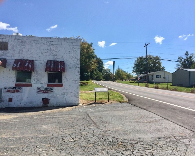
Location. 38° 59.293′ N, 83° 22.666′ W. Marker is near Peebles, Ohio, in Adams County. Marker is on Ohio Route 73 near Ohio Route 41, on the left when traveling east. Touch for map. Marker is at or near this postal address: 29674 State Rte 41, Peebles OH 45660, United States of America. Touch for directions.
Other nearby markers.
At least 8 other markers are within 4 miles of this marker, measured as the crow flies. Wickerham Inn (approx. 1˝ miles away); Cairn of Peace (approx. 3.1 miles away); Serpent Mound (approx. 3.3 miles away); Burial Mound (approx. 3.7 miles away); Welcome To Serpent Mound (approx. 3.7 miles away); What Is An Effigy Mound? (approx. 3.7 miles away); The Shawnee And The King Of The Serpents (approx. 3.7 miles away); The Village Site (approx. 3.7 miles away). Touch for a list and map of all markers in Peebles.
Credits. This page was last revised on January 23, 2023. It was originally submitted on September 13, 2017, by Mark Hilton of Montgomery, Alabama. This page has been viewed 933 times since then and 81 times this year. Last updated on January 22, 2023, by Craig Doda of Napoleon, Ohio. Photos: 1, 2, 3, 4. submitted on September 13, 2017, by Mark Hilton of Montgomery, Alabama. • Devry Becker Jones was the editor who published this page.


