Portland in Meigs County, Ohio — The American Midwest (Great Lakes)
Old Portland Road
Ford and Redoubt Site
— John Hunt Morgan Heritage Trail —
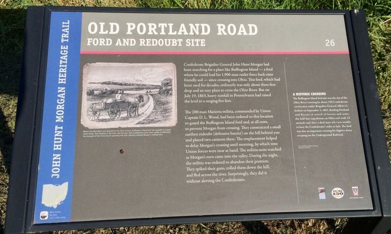
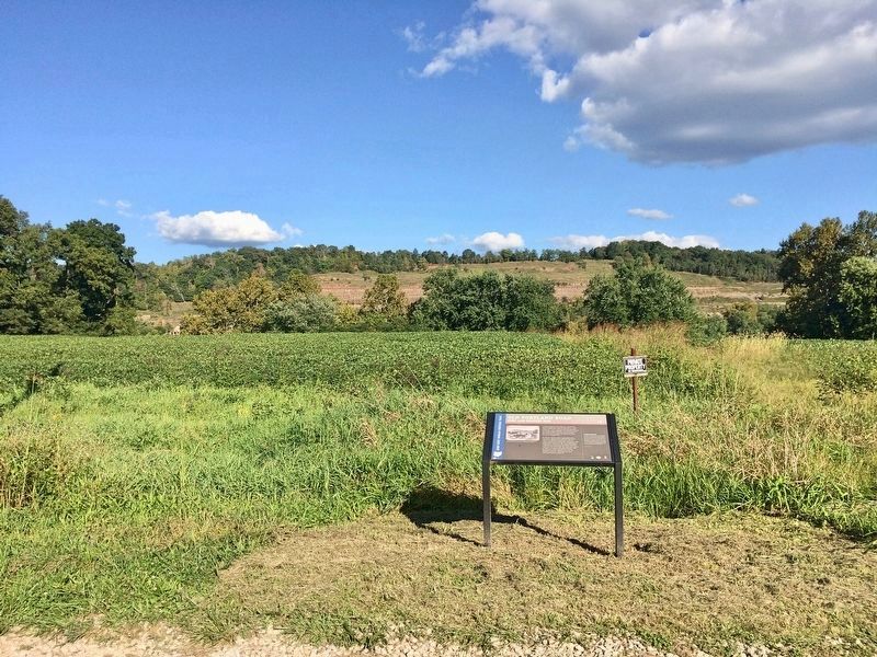
The 200-man Marietta militia, commanded by Union Captain D. L. Wood, had been ordered to this location to guard the Buffington Island ford and, at all costs, to prevent Morgan from crossing. They constructed a smal earthen redoubt (defensive barrier) on the hill behind you and placed two cannons there. The emplacement helped to delay Morgan's crossing until morning, by which time Union forces were near at hand. The militia units watched as Morgan's men came into the valley. During the night, the militia was ordered to abandon their position. They spiked their guns, rolled them down the hill, and fled across the river. Surprisingly, they did it without alerting the Confederates.
A Historic Crossing
The Buffington Island ford also was the site of the Ohio River crossing by about 350 Confederate cavalrymen under Brigadier General Albert G. Jenkins on September 3, 1862. Raiding Portland and Racine in search of horses and arms, the half-day expedition on Ohio soil took 25 animals and shot a deaf man who was unable to hear the Confederates' order to halt. The ford was also an important crossing for fugitive slaves escaping on the Underground Railroad.
[Photo caption]: Before the Ohio River was dammed in the 20th century, Buffington Island ford was passable at normal water levels. The flooding of the river, and the fact that Confederate scouts were unable to determine the strength of the Union forces guarding the ford, fatefully delayed Morgan's crossing here.
Text: Edd Sharp & David L. Mowery
Illustration: Bev Kirk
Erected 2013 by the Ohio Department of Transportation, the Ohio History Connection, and the Ohio Civil War Trail Commission. (Marker Number 26.)
Topics and series. This historical marker is listed in these topic lists: War, US Civil • Waterways & Vessels. In addition, it is included in the John Hunt Morgan Heritage Trail in Ohio series list. A significant historical date for this entry is July 19, 1863.
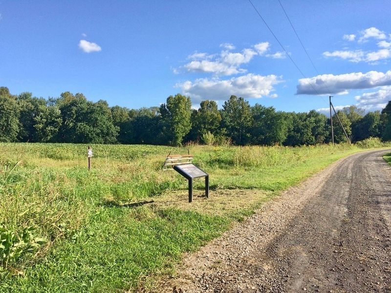
Location. 39° 0.072′ N, 81° 46.1′ W. Marker is in Portland, Ohio, in Meigs County. Marker is on Old Portland Road (County Road 153) 0.1 miles south of New Portland
Road (County Road 69), on the left when traveling south. Touch for map. Marker is at or near this postal address: Old Portland Road, Portland OH 45770, United States of America. Touch for directions.
Other nearby markers. At least 8 other markers are within walking distance of this marker. The Battle of Buffington Island (approx. 0.3 miles away); First Ohio Invasion (approx. 0.3 miles away); a different marker also named The Battle of Buffington Island (approx. 0.3 miles away); Modern Day Buffington Island (approx. 0.3 miles away); Confusion and Panic (approx. 0.3 miles away); Buffington Island (approx. 0.3 miles away); Surprise Encounter (approx. 0.3 miles away); Capture in Columbiana County (approx. 0.3 miles away). Touch for a list and map of all markers in Portland.
Credits. This page was last revised on September 14, 2017. It was originally submitted on September 14, 2017, by Mark Hilton of Montgomery, Alabama. This page has been viewed 344 times since then and 27 times this year. Photos: 1, 2, 3. submitted on September 14, 2017, by Mark Hilton of Montgomery, Alabama.


