Islip in Suffolk County, New York — The American Northeast (Mid-Atlantic)
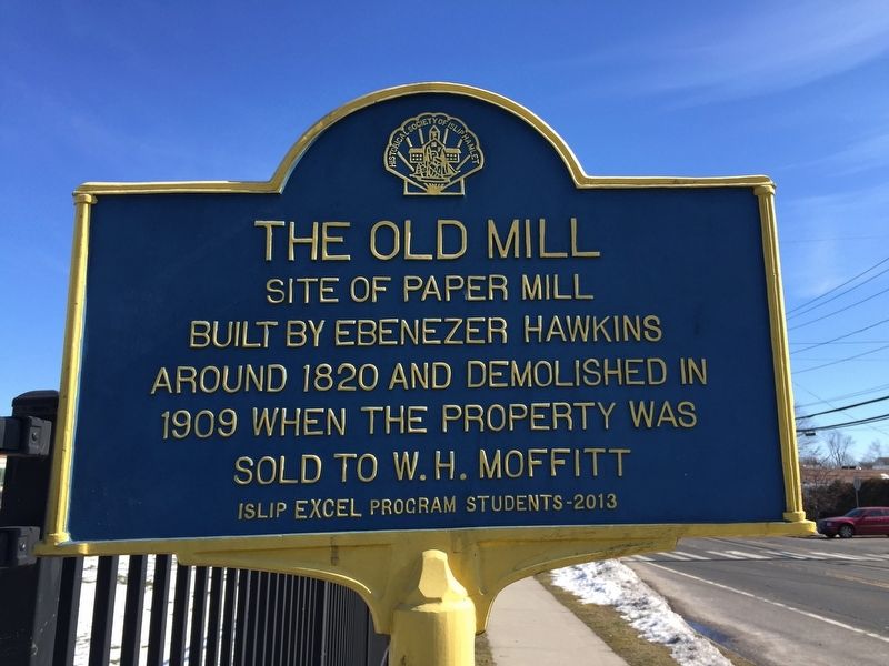
The Old Mill
built by Ebenezer Hawkins
around 1820 and demolished in
1909 when the property was
sold to W.H. Moffitt
Erected 2013 by Islip EXCEL Program Students.
Topics. This historical marker is listed in this topic list: Industry & Commerce.
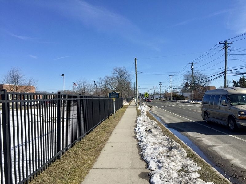
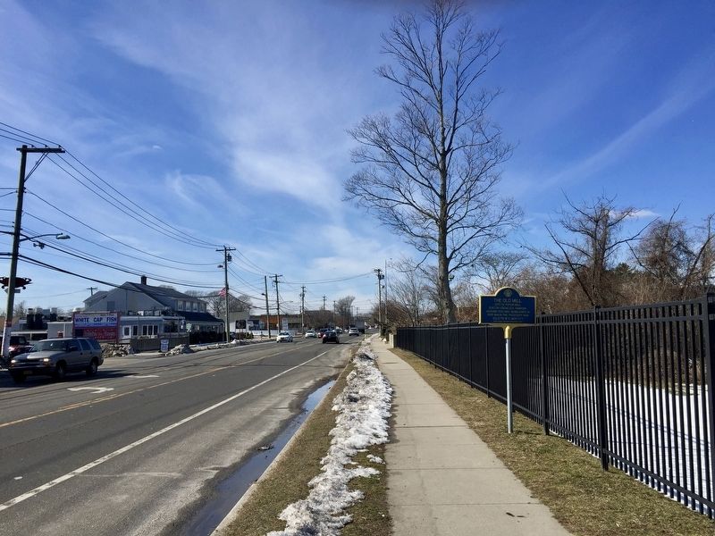
Location. 40° 43.683′ N, 73° 13.466′ W. Marker is in Islip, New York, in Suffolk County. Marker is on Main Street (Montauk Highway) east of Degnon Boulevard, on the right when traveling west. Touch for map. Marker is at or near this postal address: 211 East Main Street, Islip NY 11751, United States of America. Touch for directions.
Other nearby markers. At least 8 other markers are within walking distance of this marker. Whale Shark (within shouting distance of this marker); Presbyterian Church (approx. 0.4 miles away); Methodist Church (approx. 0.4 miles away); Early Schools (approx. 0.4 miles away); Doxsee Clam Factory (approx. 0.4 miles away); a different marker also named Early Schools (approx. half a mile away); Doxsee Clams (approx. half a mile away); Captain James Berry (approx. half a mile away). Touch for a list and map of all markers in Islip.
More about this marker. The marker is on the north side of Montauk Highway, just outside the grounds of Islip Middle School.
Also see . . . The Old Paper Mill (Historical Society of Islip Hamlet). (Submitted on September 19, 2017.)
Credits. This page was last revised on September 19, 2017. It was originally submitted on September 19, 2017, by Andrew Ruppenstein of Lamorinda, California. This page has been viewed 206 times since then and 15 times this year. Photos: 1, 2, 3. submitted on September 19, 2017, by Andrew Ruppenstein of Lamorinda, California.


